Uncategorized
Independence Lake–A great place to celebrate the 4th of July and the Freedom of the Hills
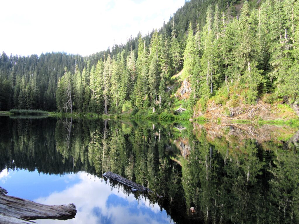
Quick Facts Location: Mountain Loop Highway near Granite Falls Land Agency: Mount Baker-Snoqualmie National Forest Roundtrip: 1.5 miles…
Read MoreNotch Pass–Hike through history over Quilcene Ridge
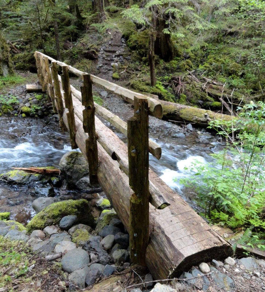
Location: Quilcene Valley, Northeast Olympic Peninsula Land Agency: National Forest Service Roundtrip: 8.4 miles Elevation gain: 2,800 feet Contact: Hood Canal Ranger District Olympic National Forest Guidebook: Day Hiking Olympic Peninsula 3rd Edition) Notes: Practice Leave No Trace Principles Access: From Quilcene drive US 101 south for 1.5 miles turning right onto Penny Creek Road. After 1.5…
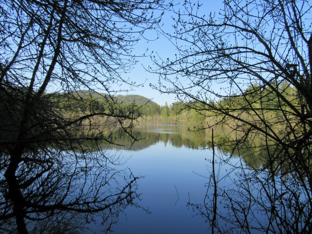
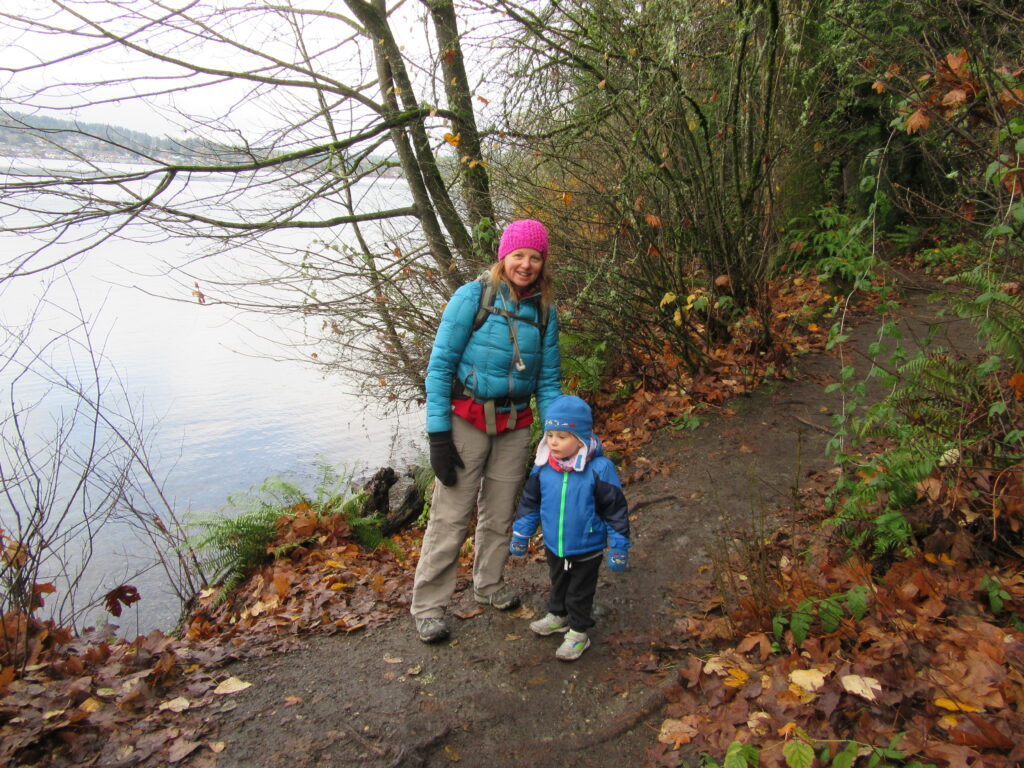
Read MoreQuinault Rainforest Loop — Easily accessible trail system through an Olympic Rainforest
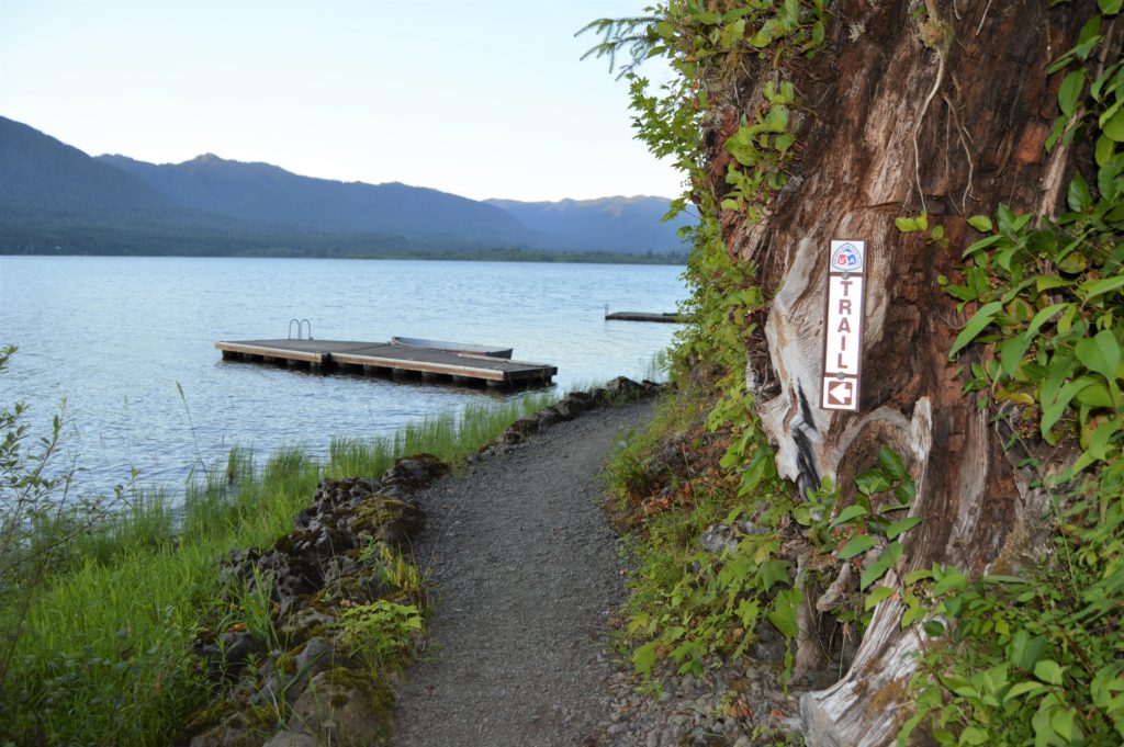
Quick Facts: Location: Lake Quinault Land Agency: Olympic National Forest Roundtrip: 3.9 miles Elevation Gain: 500 feet Contact: Olympic National Forest, Pacific Ranger District, Quinault Detailed Information: Day Hiking Olympic Peninsula 3rd edition (Mountaineers Books) Notes: Northwest Forest Pass or Interagency Pass required; dogs should on leash Access: From Hoquiam travel north on US 101 for 35 miles.…
Read MoreCheam Lake Wetlands–Birding hotspot where the North Cascades meet the Fraser River
Quick Facts: Location: Popkum, Fraser Valley Regional District, BC Land Agency: Fraser Valley Regional Parks Round Trip: 2.5 miles (4.0 km) roundtrip Elevation Gain: minimal Contact: Fraser Valley Regional Parks Notes: Dogs prohibited Access: From Vancouver, BC follow Trans-Canada Highway 1 east to Exit 138 (12 miles /20 kilometers east of Chilliwack). Turn left and…
Read MoreBoundary Bay Dyke Trail

Bountiful birds and beautiful views of Mount Baker Quick Facts: Location: Surrey and Delta, BC Distance: 16.9 km (10.5 miles) one way Elevation Gain: minimal Contact: Metro Vancouver Regional Parks, Surrey Parks and Recreation Recommended Guidebook: Urban Trails Vancouver, BC (Mountaineers Books) Notes: Dogs permitted on leash; but dogs not allowed on shoreline trail in…
Read MoreWapaloosie Mountain–a wapaloosie of a peak indeed!
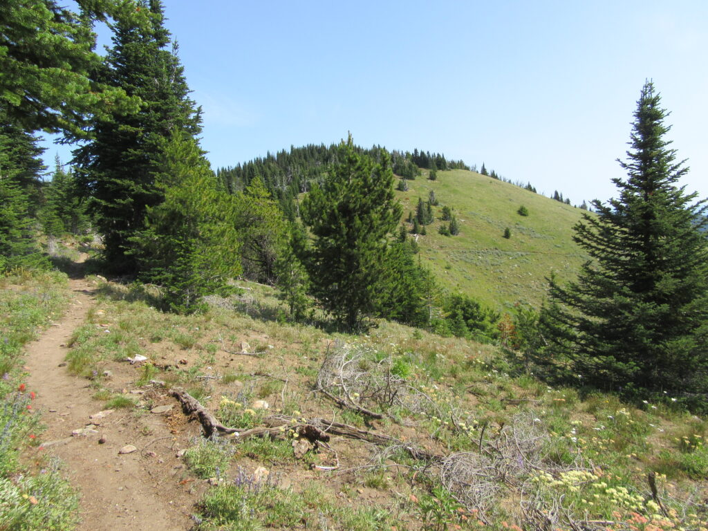
Location: Kettle River Range Land Agency: National Forest Service Roundtrip: 6.0 miles Elevation gain: 2,000 feet Contact: Colville National Forest Access: From Republic, head east on SR 20 for 21 miles turning left onto FR 2030 (Albion Hill Road). From Kettle Falls, head west on SR 20 for 22 miles, turning right onto FR 2030. Follow FR…
Read MoreTradition Lake Plateau
Wander family-friendly trails at the base of Tiger Mountain Quick Facts: Location: Issaquah Alps Distance: more than 8.9 miles of trails Elevation Gain: up to 250 feet Contact: Washington DNR and City of Issaquah Recommended Guidebook: Urban Trails Eastside (Mountaineers Books) Notes: Discover Pass required; parking lot fills fast on weekends requiring street parking (permissible…
Read MoreDeer Lake– Wilderness lake above White Pass
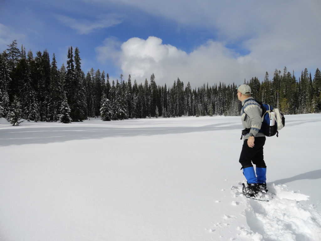
Location: William O. Douglas Wilderness, White Pass Land Agency: Okanogan-Wenatchee National Forest Roundtrip: 6.0 miles Elevation gain: 780 feet Green Trails Map: White Pass No. 303 Contact: White Pass Nordic Center Access: From Yakima or Morton follow US 12 to White Pass and proceed north to parking area near Yurt behind the Village Inn Condominiums.…
Read MoreAnderson Point County Park
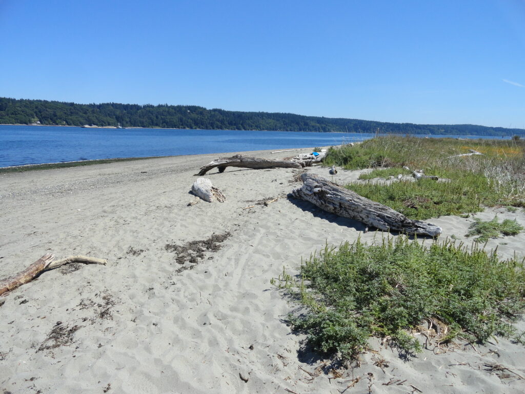
Short hike to one of the finest beaches on the Kitsap Peninsula Quick Facts: Location: Kitsap Peninsula Distance: 1.4 miles roundtrip Elevation Gain: 250 feet Contact: Kitsap County Parks Recommended Guidebook: Urban Trails Kitsap (Mountaineers Books) Notes: dogs permitted on leash; Park open from 6:00 am to 8:30 pm; do not park along Millihanna Road…
Read MoreSaint Edward State Park
Explore a different—and wilder side of Lake Washington Quick Facts: Location: Eastside (Seattle) Distance: more than 9.0 miles of trails Elevation Gain: up to 500 feet Contact: Washington State Parks Recommended Guidebook: Urban Trails Eastside (Mountaineers Books) Notes: Discover Pass required; dogs permitted on leash; park open 8am to dusk Trailhead directions: From Bellevue follow…
Read More