Archive
Twin Falls Lake–Hike to a secluded lake between two waterfalls
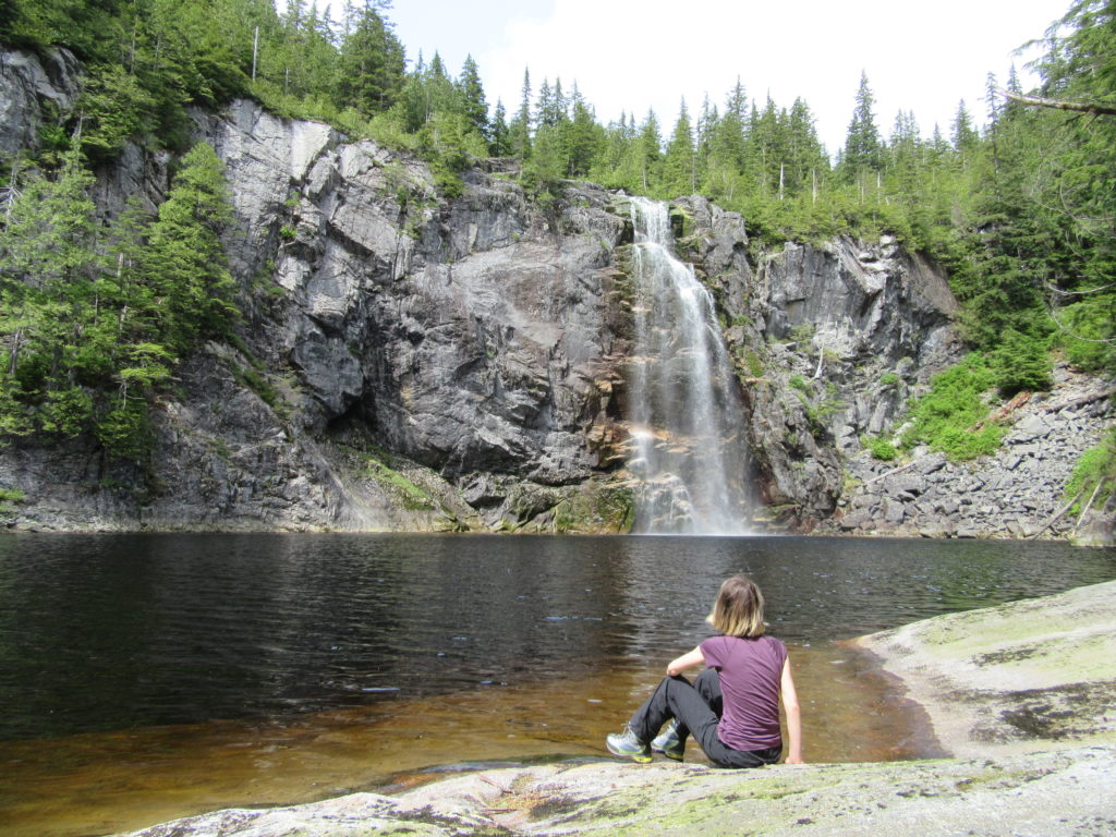
Quick Facts: Location: Mountain Loop Highway near Granite Falls Land Agency: Washington Department of Natural Resources Roundtrip: 8.8 miles Elevation gain: 1,200 feet Green Trails Map: Mountain Loop HIghway 111SX Contact: Northwest Region Ranger District WA DNR (360) 856-3500 Notes: Discover Pass required; trail beyond Ashland Lakes sees little maintenance, is extremely difficult and not…
Read MoreMaple Pass — Lofty North Cascades Loop lined with larches and long ranging vistas
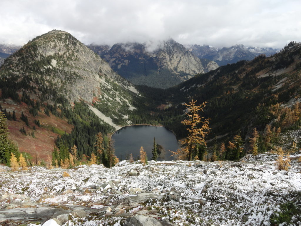
Quick Facts: Location: North Cascades Highway –Rainy Pass Land Agency: Okanogan-Wenatchee National Forest Roundtrip: 7.2 miles Difficulty: Moderate Elevation Gain: 2,000 feet Green Trails Maps: Ross Lake North Cascades 16SX Access: From I-5 north (Exit 230 ) in Burlington, head east on SR 20 (North Cascades Highway) for 98 miles to Rainy Pass near Milepost 158. Turn right into the…
Read MoreLake Ingalls
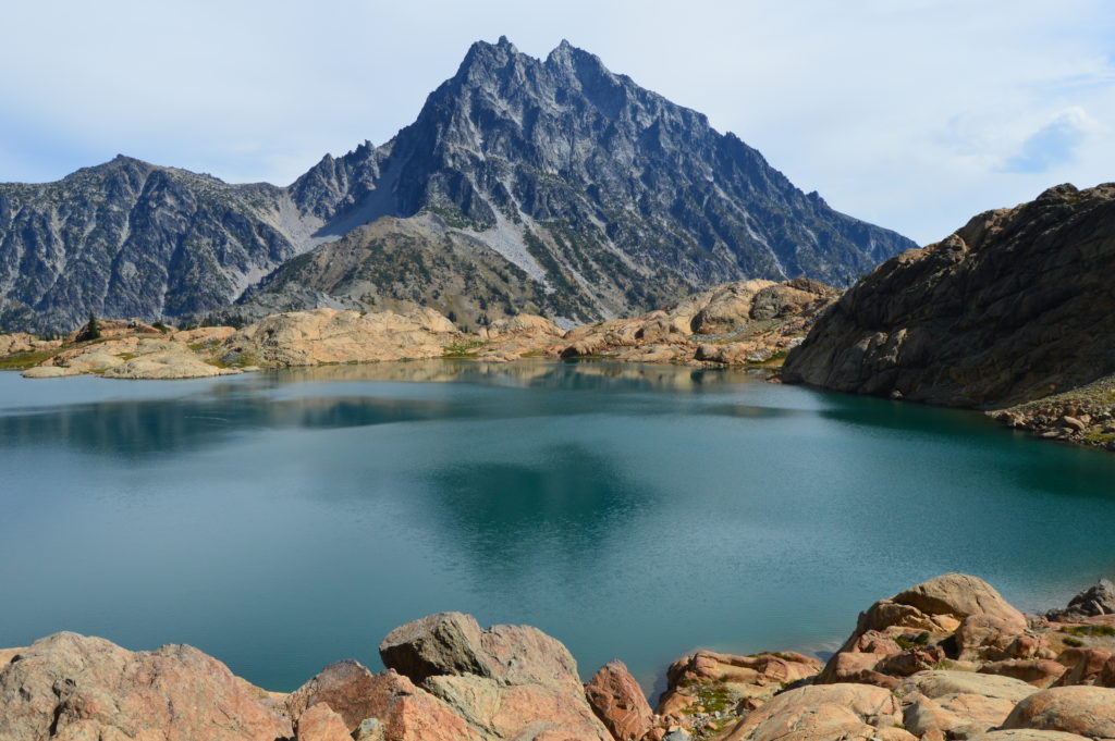
Capture breathtaking reflective views of Mount Stuart Quick Facts: Location: Alpine Lake Wilderness, Teanaway Country Round Trip: 9.2 miles Elevation Gain: 2600 feet Contact: Okanogan-Wenatchee National Forest, Cle Elum Ranger District, https://www.fs.usda.gov/okawen/Detailed Information: 100 Classic Hikes Washington (Mountaineers Books) Notes: Northwest Forest Pass required; dogs prohibited; wilderness rules apply; no camping at lake. Green Trails…
Read MoreColumbia Mountain─Historic peak overflows with autumn colors
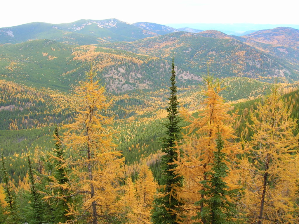
Quick Facts: Location: Kettle River Range, Sherman Pass Land Agency: Colville National Forest Roundtrip: 8.0 miles Elevation Gain: 1,360 feet Access: From Republic travel east 17 miles on SR 20 to trailhead at Sherman Pass. From Kettle Falls, follow SR 20 for 26 west miles to Sherman Pass. Contact: Colville National Forest, Republic Ranger District Good…
Read MoreLittle Giant Pass
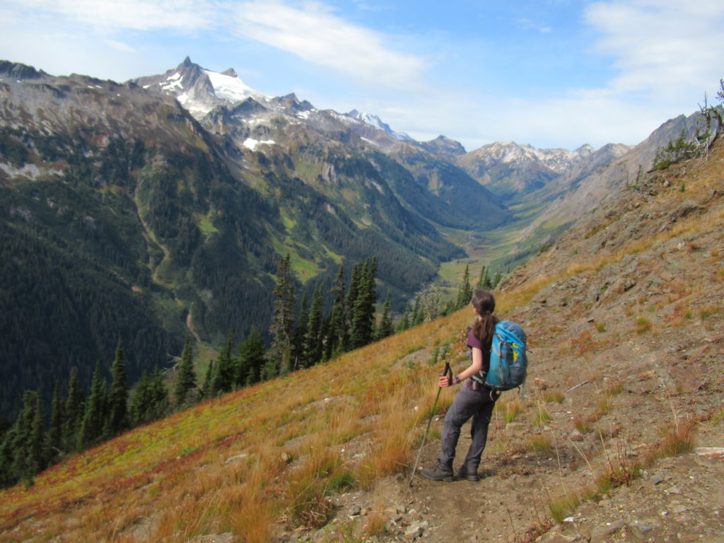
Shortest (but not easy) portal to the fabled Napeequa Valley Quick Facts: Location: Chiwawa River Valley Round Trip: 10.4 miles Elevation Gain: 4100 feet Contact: Okanogan-Wenatchee National Forest, Wenatchee River Ranger District, https://www.fs.usda.gov/okawen/Detailed Information: Day Hiking Central Cascades 2nd edition (Mountaineers Books) Notes: Wilderness Rules in effect; Chiwawa River must be forded—dangerous in high water…
Read MoreSunrise Ridge─What a setting!
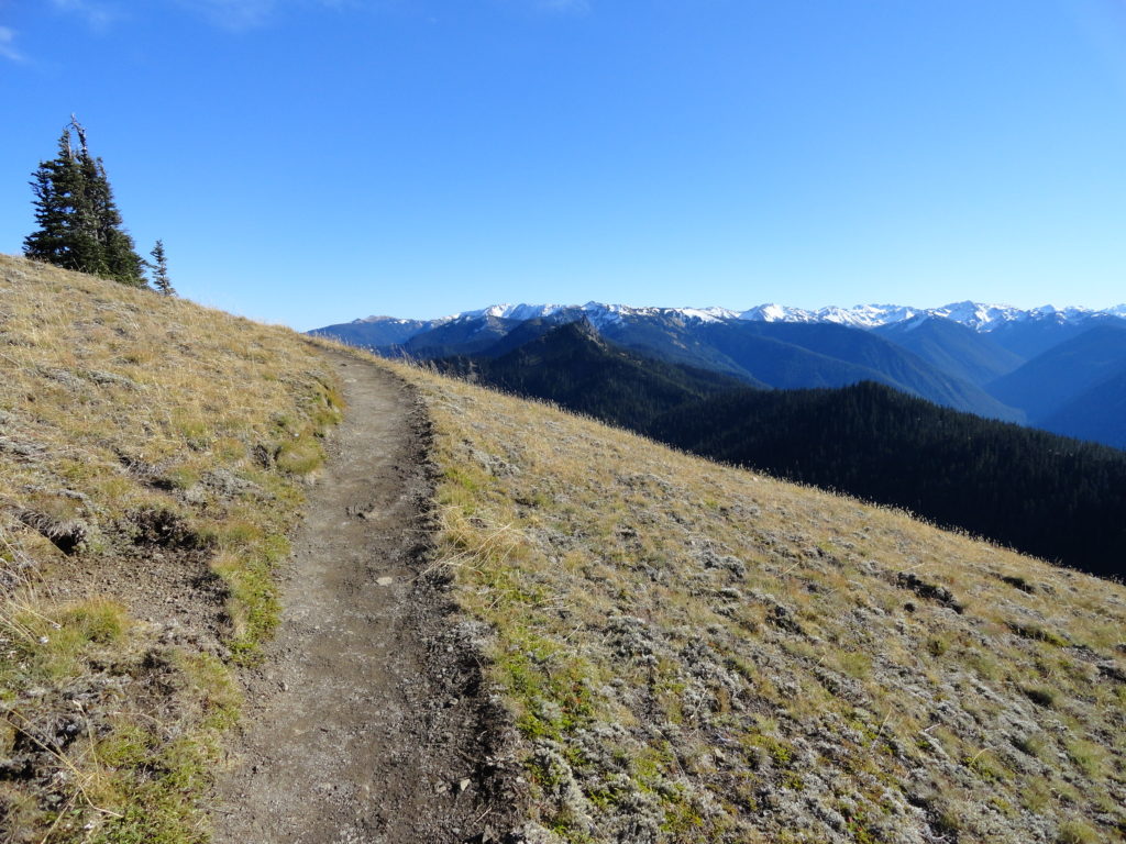
Quick Facts: Location: Olympic National Park – Hurricane Ridge Road Land Agency: National Park Service Roundtrip: 5.2 miles Elevation Gain: 1,100 feet Green Trails Map: Elwha North-Hurricane Ridge No. 134S Contact: Olympic National Park Access: From Port Angeles, follow Race Street south to Mount Angeles Ave to the Heart O’ the Hills Parkway (Hurricane Ridge…
Read MoreMount Pugh — It’s quite a view from the summit of Pugh
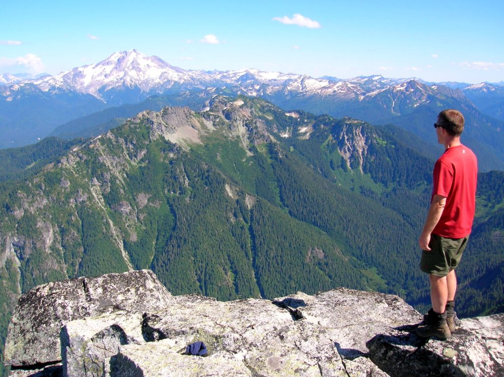
Quick Facts: Location: Glacier Peak Wilderness, Mountain Loop Highway near Darrington Land Agency: Mount Baker-Snoqualmie National Forest Roundtrip: 11.0 miles Elevation gain: 5,300 feet Green Trails Map: Mountain Loop Highway Special Series 111SX Contact: Darrington Ranger District: Mount Baker Snoqualmie National Forest Notes: NW Forest Pass or Interagency Pass required; The last 1.5 miles of hike…
Read MoreWhite Chuck Cinder Cone — Coolest volcanic cone north of Lassen
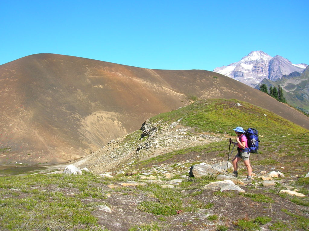
Quick Facts: Location: Glacier Peak Wilderness,Mountain Loop Highway near Darrington Land Agency: Mount Baker-Snoqualmie National Forest Roundtrip: 23.0 miles Elevation gain: 5,200 feet Green Trails Map: Mountain Loop Highway 111SX Contact: Darrington Ranger District: Mount Baker Snoqualmie National Forest (360) 436-1155 Notes: NW Forest Pass or Interagency Pass required Access: From Darrington, head south 16…
Read MoreJetty Island– It may be manmade, but it’s naturally delightful!
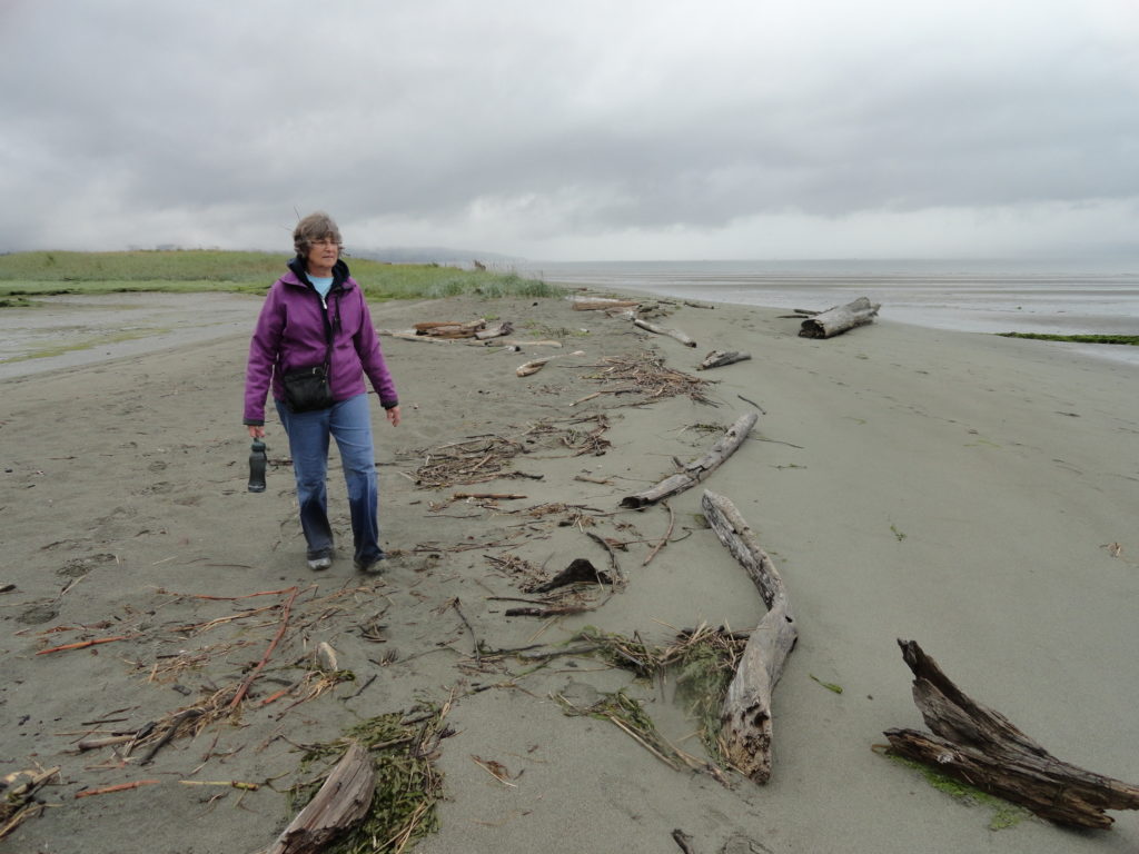
Quick Facts: Location: Everett Land Agency: Everett Parks and Recreation Roundtrip: up to 5.0 miles Elevation gain: none Difficulty: Easy Contact: Everett Parks and Recreation Department Notes: Parking fee $2.00 (credit card or exact amount cash) Passenger Ferry runs on Wednesday through Sunday from July 5th until September 3rd and requires a reservation ($3 per…
Read MoreBlanca Lake– A strikingly beautiful lake set beneath a formidable wall of jagged peaks
Quick Facts: Location: Wild Sky and Henry Jackson Wildernesses, North Fork Skykomish River Valley Land Agency: Mount Baker-Snoqualmie National Forest Roundtrip: 8.4 miles Elevation gain: 3,300 feet Green Trails Map: Monte Cristo, WA- No. 143 Contact: Skykomish Ranger District: Mount Baker Snoqualmie National Forest Notes: Northwest Forest Pass or Interagency Pass required. No fires allowed…
Read More