Backpacking Washington
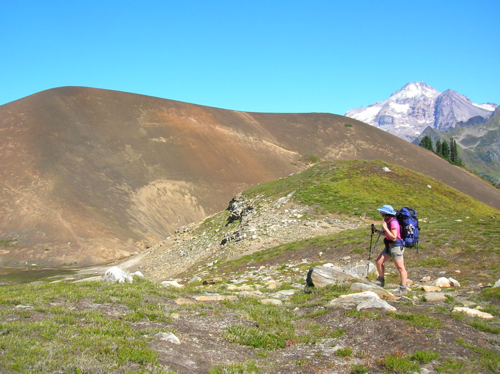
Bald Eagle Peak — Old-growth, stunning views, and solitude

Special Note: We apologize for sending out the Longs Pass Hike earlier today as it is currently closed due to a forest fire. We had scheduled the hike to run about a month ago and regret not catching that the trail is now closed. We try to provide timely hiking destinations, but you should always…
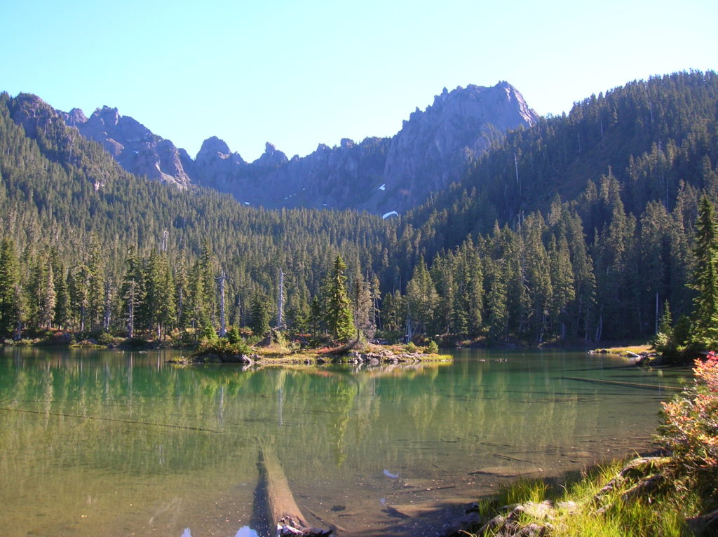
Read MoreCooney Lake–larches at the edge of the North Cascades
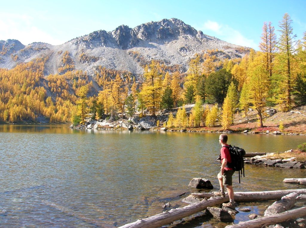
Location: Sawtooth Ridge Roadless Area Land Agency: Okanogan-Wenatchee National Forest Roundtrip: 16 miles High Point: 7,300 feet Elevation gain: 3,800 feet Difficulty: moderate Green Trails Maps: Prince Creek, WA- No. 115 Contact: Methow Valley Ranger District: Okanogan-Wenatchee National Forest Notes: Northwest Forest Pass or Interagency Pass required Access: From Twisp follow SR 153 south turning…
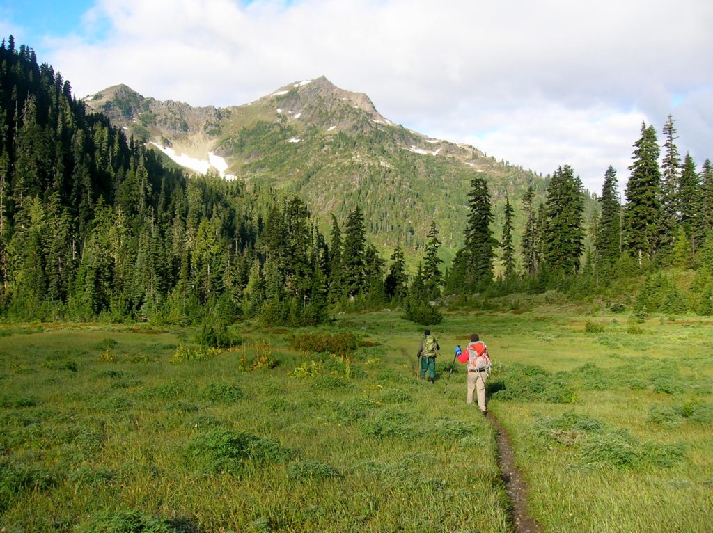
Read MoreImage Lake — jewel in the heart of the Glacier Peak Wilderness
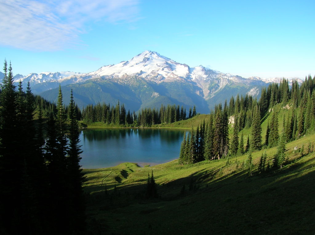
Quick Facts: Location: Glacier Peak Wilderness Land Agency: Mount Baker-Snoqualmie National Forest Roundtrip: 33.0 miles Elevation Gain: 4,700 feet Green Trails Map: Mountain Loop Highway 111SX Contact: Darrington Ranger District: Mount Baker Snoqualmie National Forest Notes: NW Forest or Interagency Pass required; No camping within ¼ mile of Image Lake—use established campsites; no fires at lake; respect re-vegetation…
Read MoreMartin Lake–Heart of the Golden Lakes
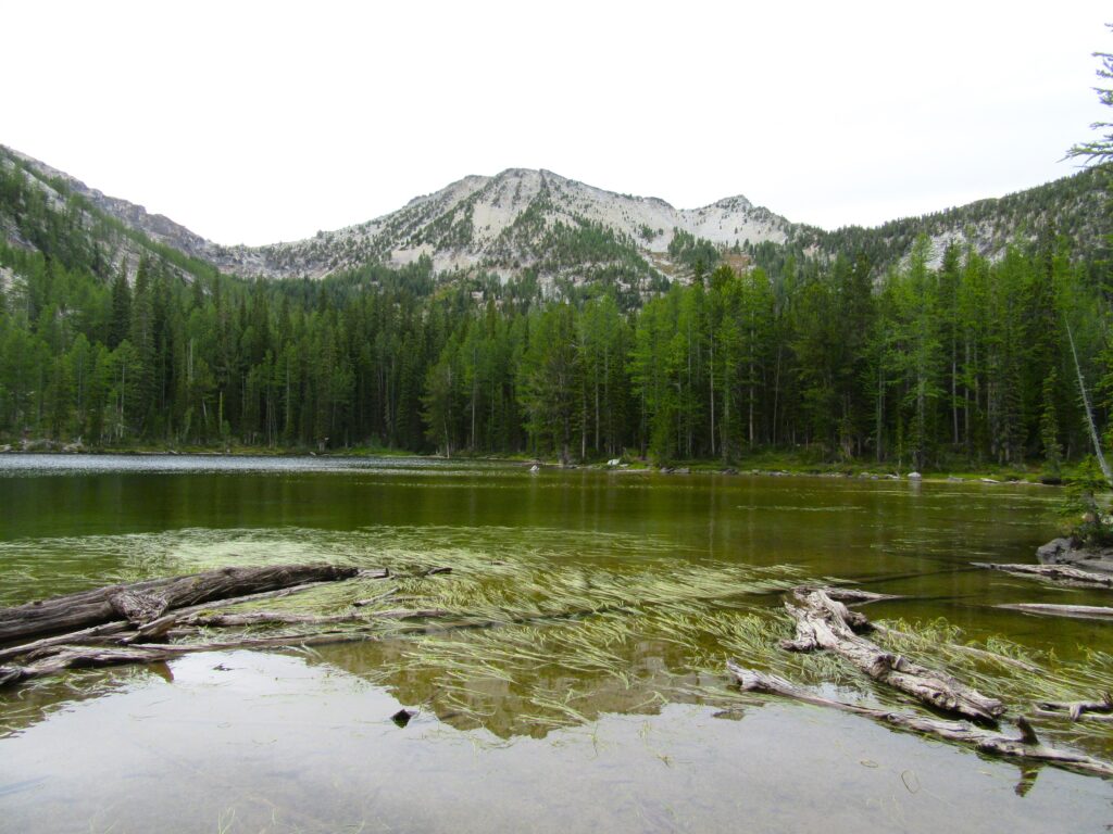
Quick Facts: Location: Methow Valley, WA Distance: 13.4 miles round trip Elevation Gain: 2300 feet Contact: Okanogan-Wenatchee National Forest, Methow Valley Ranger District Maps: Green Trails Methow Valley 51SX Recommended Guidebook: Day Hiking North Cascades (Mountaineers Books) Notes: trail open to motorcycles Trailhead directions: From Twisp drive south on SR 153 and turn right onto…
Read MoreMowich Lake
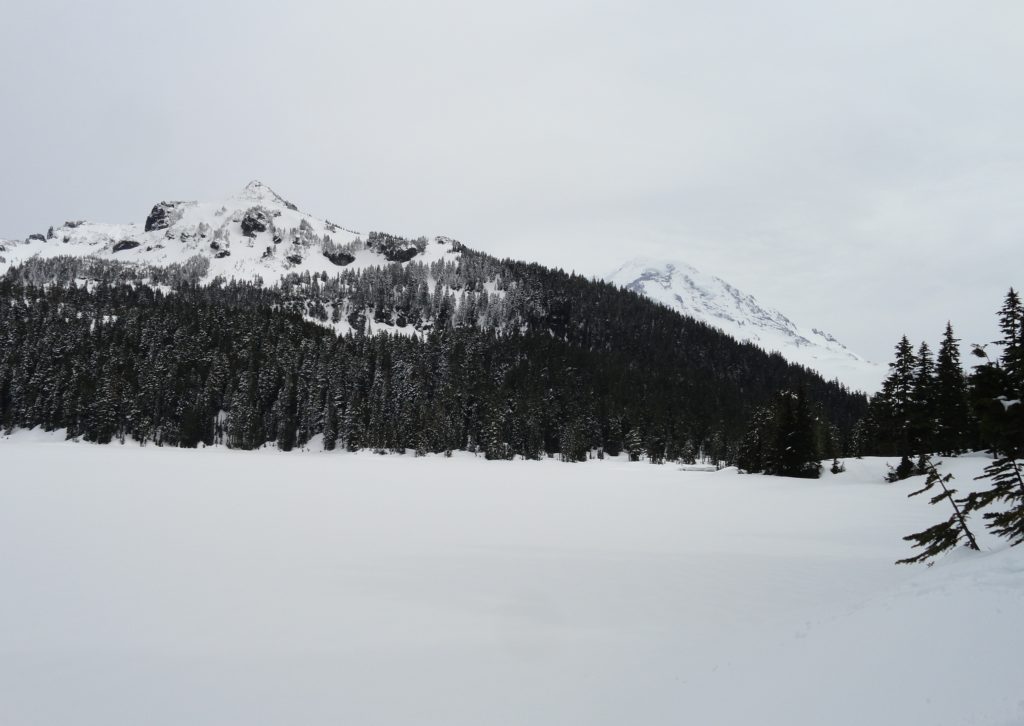
Snowshoe to a “deer” location in Mount Rainier National Park Quick Facts: Location: Mount Rainier National Park Distance: 10.2 miles roundtrip Elevation Gain: 1,350 feet Contact: Mount Rainier National Park Green Trails Map: Mount Rainier National Park 269SX Notes: Dogs are prohibited; Route is non-groomed and shared with skiers; National Park pass or Interagency Pass…
Read MoreWhite Chuck Cinder Cone — Coolest volcanic cone north of Lassen
Quick Facts: Location: Glacier Peak Wilderness,Mountain Loop Highway near Darrington Land Agency: Mount Baker-Snoqualmie National Forest Roundtrip: 23.0 miles Elevation gain: 5,200 feet Green Trails Map: Mountain Loop Highway 111SX Contact: Darrington Ranger District: Mount Baker Snoqualmie National Forest (360) 436-1155 Notes: NW Forest Pass or Interagency Pass required Access: From Darrington, head south 16…
Read MoreFlapjack Lakes — Served with a healthy dose of scenery
Quick Facts: Location: Staircase, Olympic National Park Land Agency: National Park Service Roundtrip: 15.4 miles Elevation gain: 3,050 feet Contact: Olympic National Park Wilderness Information Center (360) 565-3100 Green Trails Map: Olympic Mountains East 168S Notes: Dogs prohibited; National Park entry fee; Backcountry camping permit required for overnight trips; Practice Leave No Trace Principles Access: From…
Read MoreHome Sweet Home
Bear haven in Olympic National Park Quick Facts: Location: Olympic National Park Land Agency: National Park Service Distance: 27.0 miles Elevation Gain: 4300 feet Contact: Olympic National Park www.nps.gov/olym Map: Green Trails Olympic Mountains East 168SX Notes: dogs prohibited; National Park entry fee (or Interagency pass) and Backcountry camping permit for overnight camping Access: From…
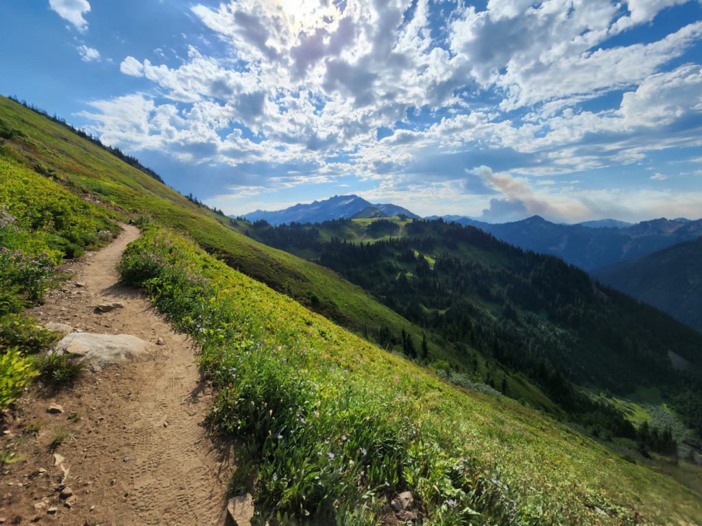
Read MoreWhite Pass–Sprawling meadows and stupendous views high on the Cascade Crest
Location: North Fork Sauk River Land Agency: Mount Baker-Snoqualmie National Forest Roundtrip: 19.4 miles High Point: 5,850 feet Elevation gain: 4,000 feet Difficulty: strenuous Green Trails Maps: Mountain Loop Highway 111SX Contact: Darrington Ranger District: Mount Baker-Snoqualmie National Forest Note: Northwest Forest Pass or Interagency Pass Required Access: From Darrington, travel south on the Mountain…
Read MoreThird Beach– First Rate and second to none!
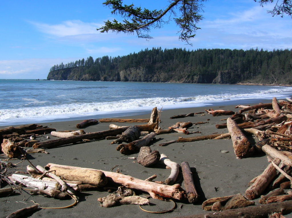
Quick Facts: Location: Olympic Coast near Forks Land Agency: National Park Service Roundtrip: 2.6 miles Elevation gain: 300 feet Contact: Olympic National Park Wilderness Information Center Green Trails Map: Olympic Beaches 99s Notes: Dogs Prohibited Recommended Guidebook: Day Hiking Olympic Peninsula 2nd edition (Mountaineers Books) Good to Know: kid-friendly, snow free winter hike; beach walking;…
Read More