Best Lake Hikes
Sunrise Lake─Golden larches brighten the shores of this alpine lake
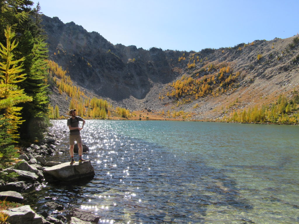
Quick Facts: Location: North Cascades – Sawtooth Ridge Land Agency: U.S. Forest Service Roundtrip: 13.0 miles Elevation Gain: 3,730 feet Green Trails Map: Prince Creek, WA- No. 115 Recommended Resource: Day Hiking North Cascades 2nd edition (Romano; Mountaineers Books) Access: From Twisp drive SR 20 east for 2.0 miles. Continue south on SR 153 for 12.0 miles…
Read MoreScatter Lake — Golden larch lake high on 8,321-foot Abernathy Peak
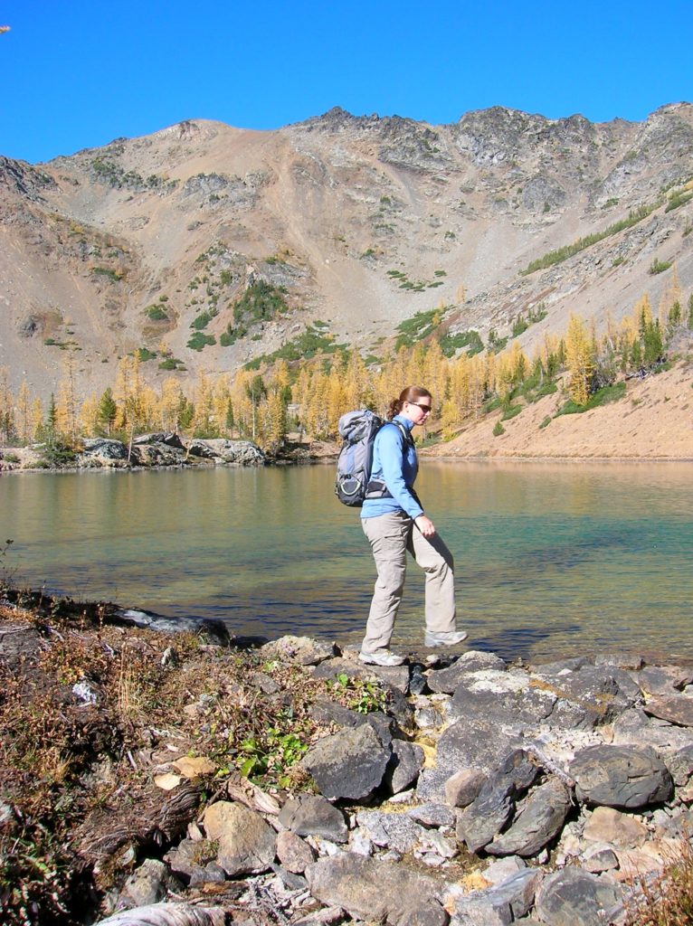
Quick Facts: Location: Twisp River Valley Land Agency: Okanogan-Wenatchee National Forest Roundtrip: 8.5 miles Elevation gain: 3,800 feet Green Trails Map: Stehekin, WA – No 82 Contact: Methow Valley Ranger District: Okanogan-Wenatchee National Forest Notes: NW Forest Pass or Interagency Pass required Access: From Twisp, follow Twisp River Road west for 21.8 miles to…
Read MoreShoe Lake — A great hike good for your soul!
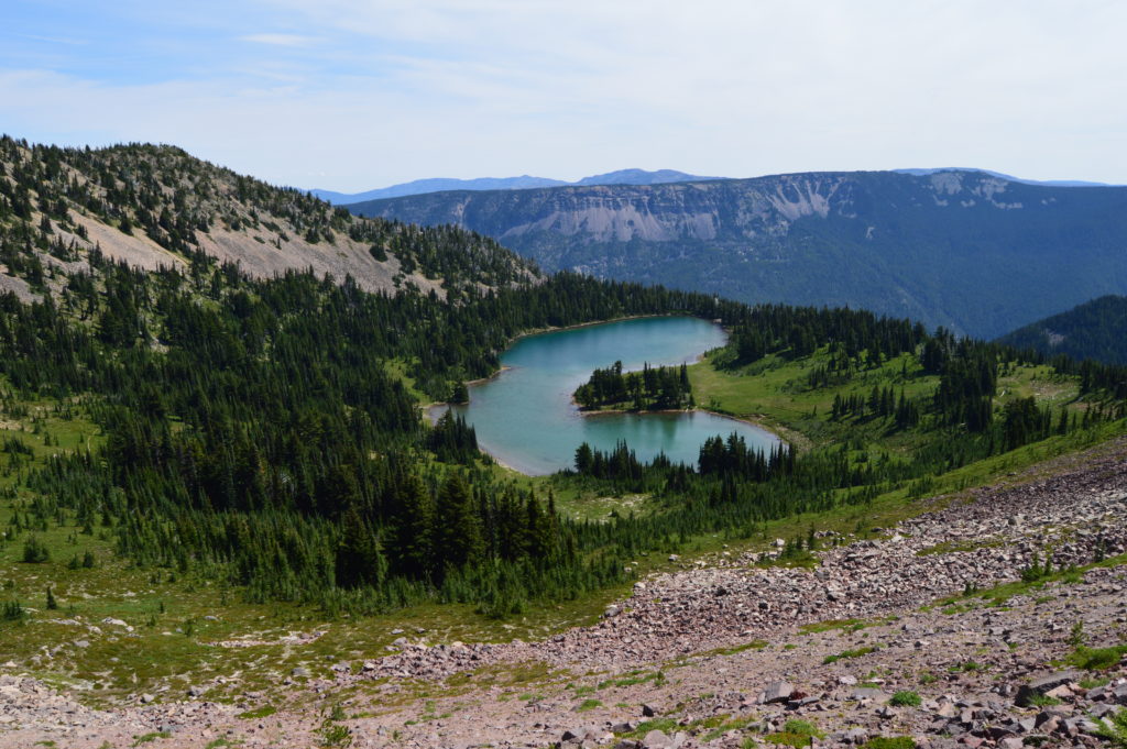
Quick Facts: Location: Goat Rocks Wilderness Land Agency: National Forest Service Roundtrip: 15.7 miles Elevation Gain: 2,625 feet Contact: Naches Ranger District, Okanogan-Wenatchee National Forest Green Trails Map: Goat Rocks William O Douglas Wilderness No. 303S Notes: Northwest Trail Pass or interagency pass required; Wilderness permit required, free, self-issued at trailhead; wilderness rules apply Access: From Packwood, follow…
Read MoreTwin Lakes (Monte Cristo) — Follow a rugged old miner’s path to a remote basin
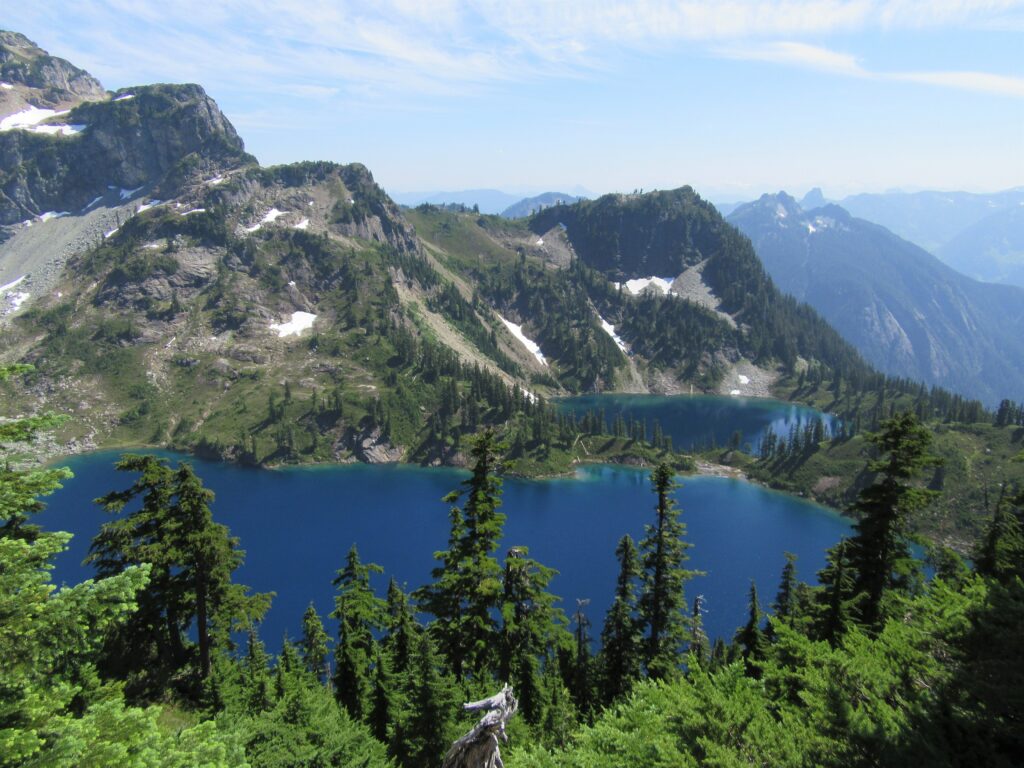
Quick Facts: Location: Mountain Loop Highway near Barlow Pass Land Agency: Mount Baker-Snoqualmie National Forest Roundtrip: 17.0 miles Elevation gain: 3,900 feet Green Trails Map: Mountain Loop Highway no. 111SX Contact: Darrington Ranger District: Mount Baker Snoqualmie National Forest Notes: Northwest Forest Pass or Interagency Pass required; A washout at the Twin Bridges requires…
Read MoreVancouver Lake Regional Park
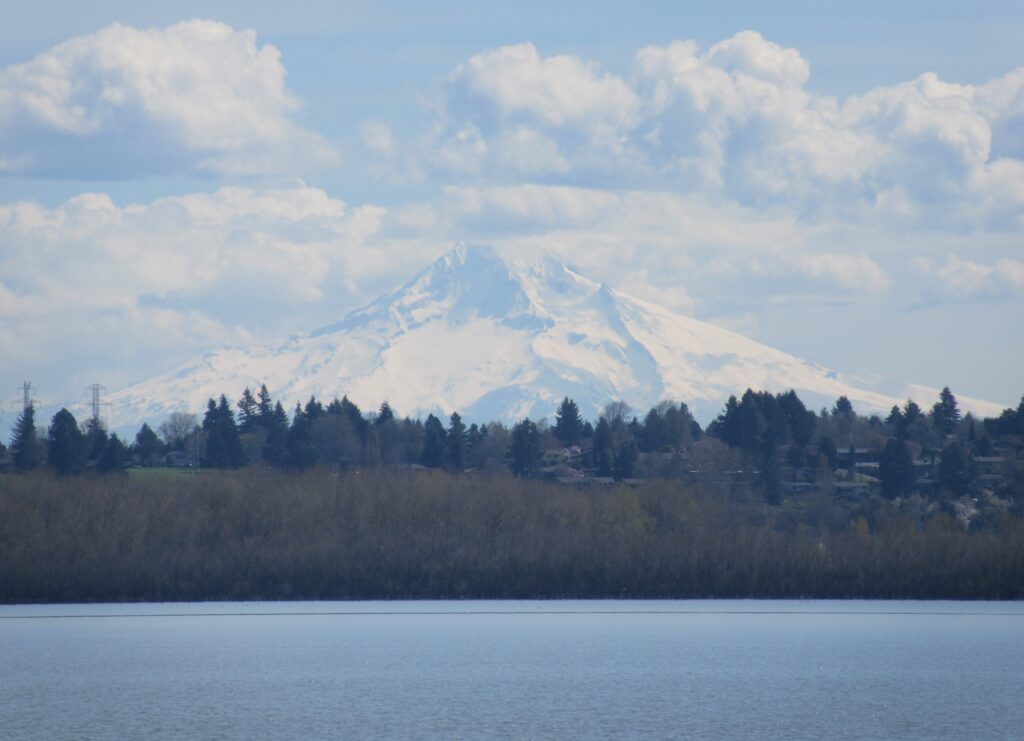
Volcano views and excellent birdwatching just west of downtown Vancouver, WA Quick Facts: Location: Vancouver, WA Land Agency: Clark County Parks Round Trip: 3.0 miles of trails Elevation Gain: minmal Contact: Vancouver Lake Regional Park Detailed Information: Urban Trails Vancouver WA (Mountaineers Books) Notes: year round parking fee of $5.00; Dogs permitted on-leash and prohibited…
Read MoreLake Twentytwo─waterfalls, big cedars and a beautiful lake beneath Mount Pilchuck
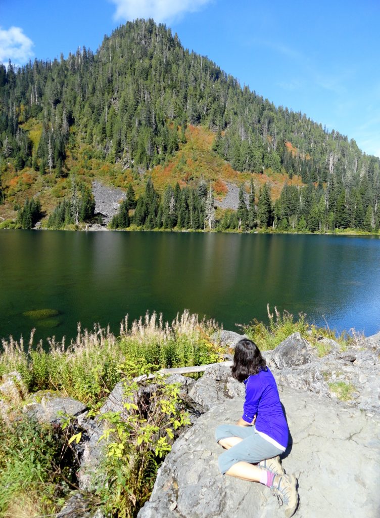
Quick Facts Location: Mountain Loop Highway near Granite Falls Land Agency: Mount Baker-Snoqualmie National Forest Roundtrip: 5.4 miles Elevation Gain: 1,350 feet Green Trails Map: Mountain Loop Highway 111SX Notes: NW Forest Pass required; dogs permitted on leash; trail can get busy, practice Leave No Trace ethics and consider visiting on a weekday. Access: From…
Read MoreMelakwa Lake–The buzz is out on this great Snoqualmie Pass hike
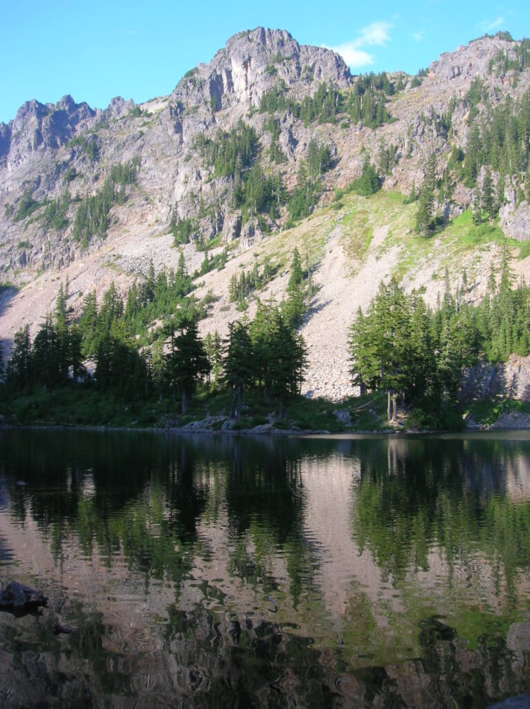
Location: Snoqualmie Pass region Land Agency: Mount Baker-Snoqualmie National Forest Roundtrip: 9.0 miles High Point: 4,600 feet Elevation gain: 2,400 feet Difficulty: difficult Green Trails Map: Snoqualmie Pass Gateway, WA- No 207SX Contact: North Bend Ranger District: Mount Baker Snoqualmie National Forest Notes: NW Forest Pass or Interagency Pass required; dogs must be on a…
Read MoreLake Valhalla– No slain souls here-just renewed ones
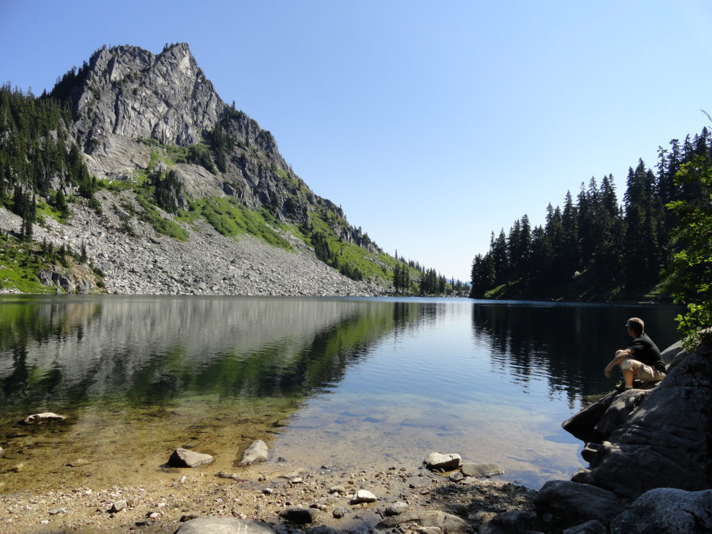
Quick Facts: Location: Henry M Jackson Wilderness, Stevens Pass area Land Agency: Okanogan-Wenatchee National Forest Roundtrip: 11.6 miles Elevation gain: 1,850 feet Difficulty: moderate Green Trails Map: Alpine Lakes-Stevens Pass No. 176S Contact: Wenatchee River Ranger District (Leavenworth): Okanogan-Wenatchee National Forest Access: From Everett, head east on US 2 for 65 miles to Stevens Pass.…
Read MoreGrand Valley–Aptly named valley has it all; lakes, meadows, and fantastic alpine scenery

Quick Facts: Location: Obstruction Point (Hurricane Ridge) Land Agency: National Park Service Roundtrip: 9.8 miles Elevation gain: 2,400 feet Contact: Olympic National Park Wilderness Information Center Green Trails Map: Elwha North/Hurricane Ridge-No. 134S Notes: Dogs prohibited; National Park Entry Fee required Access: From Port Angeles follow the Hurricane Ridge Road (Heart O the Hills Parkway)…
Read MoreCooney Lake–larches at the edge of the North Cascades
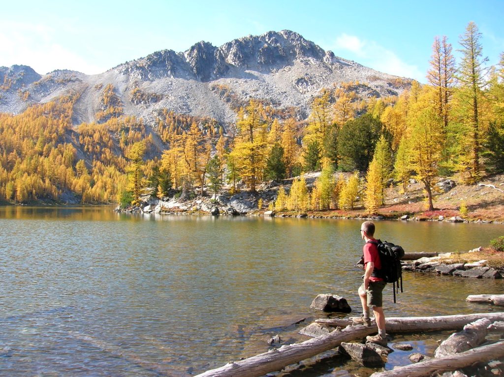
Location: Sawtooth Ridge Roadless Area Land Agency: Okanogan-Wenatchee National Forest Roundtrip: 16 miles High Point: 7,300 feet Elevation gain: 3,800 feet Difficulty: moderate Green Trails Maps: Prince Creek, WA- No. 115 Contact: Methow Valley Ranger District: Okanogan-Wenatchee National Forest Notes: Northwest Forest Pass or Interagency Pass required Access: From Twisp follow SR 153 south turning…
Read More