Best Spring Hikes
Barclay Lake–placid lake at the base of awe-inspiring Baring Mountain
Quick Facts: Location: Skykomish River Valley Land Agency: National Forest Service Roundtrip: 4.4 miles Elevation Gain: 225 feet Green Trails Map: Alpine Lakes Stevens Pass Map 176S Contact: Skykomish Ranger District: Mount Baker -Snoqualmie National Forest Recommended Guidebook: Day Hiking Central Cascades 2nd edition (Mountaineers Books) Special Note: Northwest Forest Pass required. Access: From Everett, head 40 miles east on US 2 to…
Read MorePyramid Lake–A puny lake, but monumental surrounding forest
Quick Facts: Location: Ross Lake NRA, North Cascades Scenic Highway Land Agency: National Park Service Roundtrip: 4.5 miles High Point: feet Elevation gain: 1500 feet Difficulty: moderate Contact: North Cascades National Park Green Trails Map: North Cascades Ross Lake 16SX Notes: Dogs permitted on leash. Access: From Marblemount follow the North Cascades Highway (SR 20) east for 21 miles to trailhead located…
Read MoreWhite Bluffs Hanford Reach
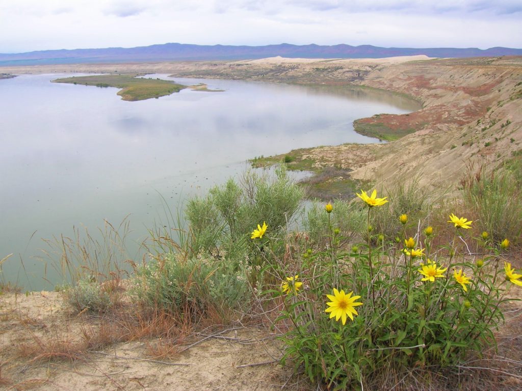
Wilderness and stark beauty along the Columbia River Quick Facts: Location: Hanford Reach National Monument Round Trip: 7.0 miles Elevation Gain: 500 feet Contact: Hanford Reach National Monument, Mid-Columbia River National Wildlife Recreation Complex; Detailed Information: Day Hiking Eastern Washington (Mountaineers Books) Notes: watch for rattlesnakes; pack lots of water Access: From Ellensburg, follow I-90…
Read MoreWallace Lake—Tranquil waters above thundering falls

Quick Facts: Location: Skykomish River Valley Land Agency: Washington State Parks Roundtrip: 8.2 miles Elevation Gain: 1,500 feet Green trails Map: Index, WA-No. 142 Access: From Everett follow US 2 for 28 miles east to Gold Bar. Just before Milepost 28 turn left onto 1st Street (signed for Wallace Falls State Park). Proceed for .4…
Read MoreSage Hills Trail
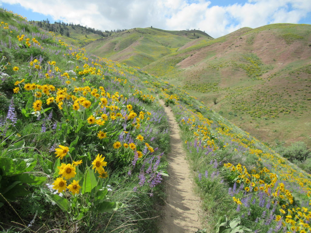
Bloomin’ good hike in Wenatchee Foothills Quick Facts: Location: Wenatchee Foothills Round Trip: 9.6 miles Elevation Gain: 1125 feet Contact: Chelan-Douglas Land Trust Detailed Information: Day Hiking Central Cascades 2nd edition (Mountaineers Books) Notes: Trail is closed from Dec 1 until March 31 to protect wintering mule deer. Dogs must be leashed; trail open to…
Read MoreEbey’s Landing—A Sound Hiking Adventure
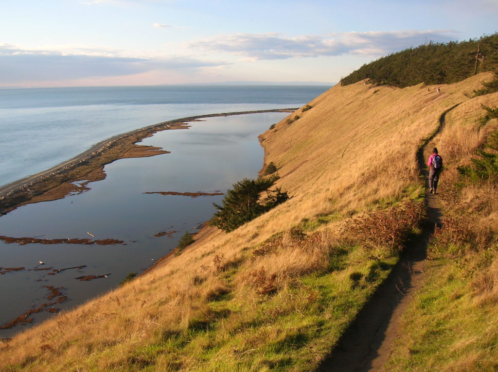
Quick Facts: Location: Whidbey Island Land Agency: National Park Service and Washington State Parks Roundtrip: 5.2 miles Elevation Gain: 260 feet Contact: Ebey’s Landing National Historical Reserve Suggested Guidebook: Urban Trails Everett Special note: Dogs permitted on leash. Access: Take Washington State Ferry from Mulkiteo to Clinton on Whidbey Island. Continue north on SR 525…
Read MoreBridal Veil Falls — Visit after heavy rains for a bridal shower!

Quick Facts: Location: US 2 near Index, Land Agency: Mount Baker-Snoqualmie National Forest Roundtrip: 4.4 miles Elevation gain: 850 feet Green Trails Maps: Green Trails, Alpine Lakes Stevens Pass 176S Contact: Skykomish Ranger District: Mount Baker -Snoqualmie National Forest Notes: NW Forest Pass or Interagency Pass required Access: From Everett follow US 2 east for…
Read MoreRiver Trail
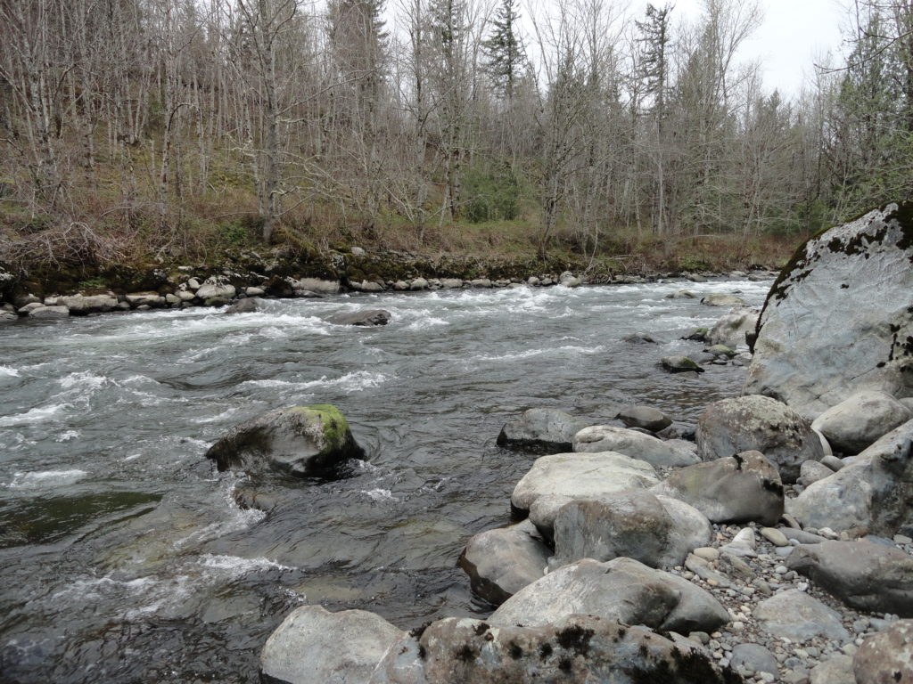
Hike along rapids at the mouth of the Green River gorge Quick Facts: Location: Kanaskat-Palmer State Park Land Agency: Washington State Parks Round Trip: 2.5 miles Elevation Gain: 175 feet Contact: Kanaskat-Palmer State Park Detailed Information: Urban Trails Tacoma (Mountaineers Books) Notes: Discover Pass required. Dogs permitted on leash. Green River contains strong currents—exercise caution…
Read MoreTwanoh Creek Loop
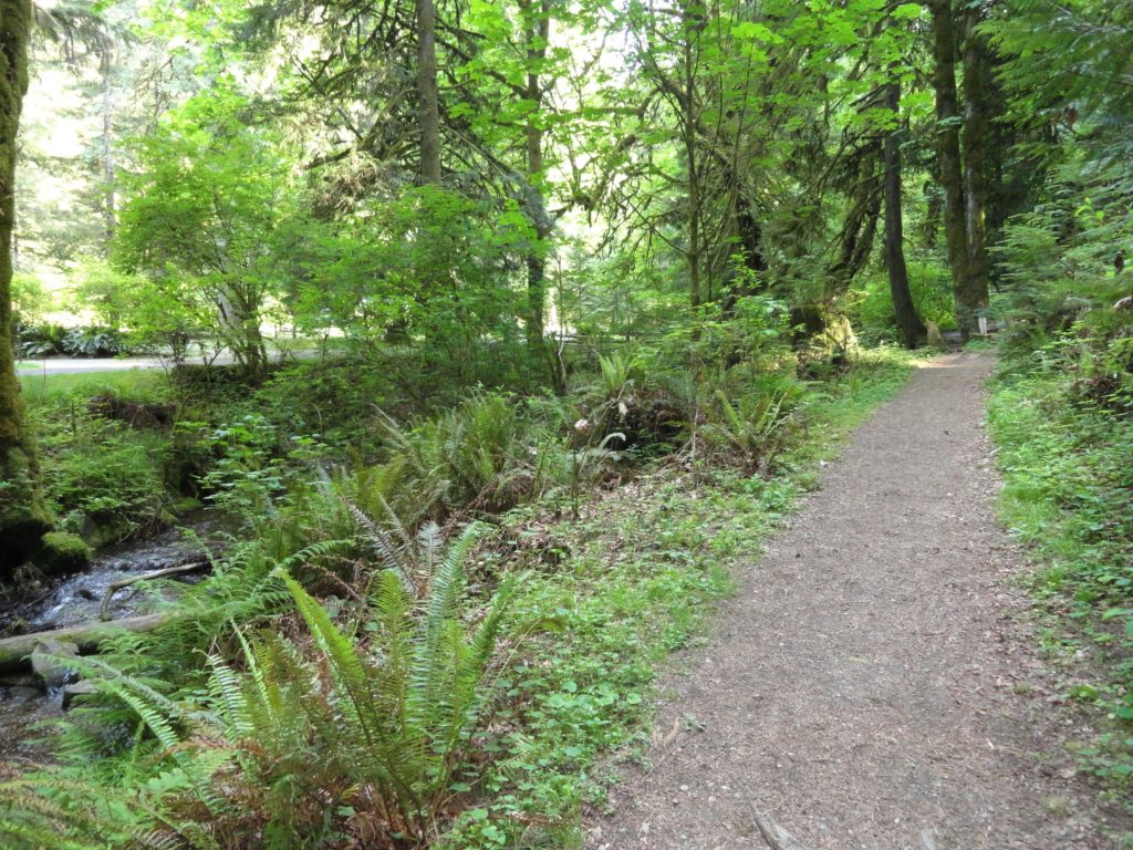
Wander a quiet ravine above Hood Canal Quick Facts: Location: Twanoh State Park, Hood Canal Land Agency: Washington State Parks Round Trip: 2.3 miles Elevation Gain: 400 feet Contact: Twanoh State Park Detailed Information: Urban Trails Kitsap Peninsula (Mountaineers Books) Notes: Discover Pass required. Dogs permitted on leash. Access: From Bremerton head west on SR…
Read MoreVirginia Lake─Sweet bird watching spot on Sauvie Island
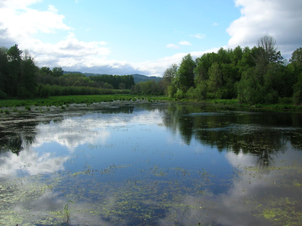
Quick Facts: Location: Sauvie Island (Portland, Oregon) Land Agency: Willamette River Greenway, Wapato Access (Oregon State Parks) Roundtrip: 2.4 miles Elevation Gain: 50 feet Notes: Dogs must be leashed. Access: From downtown Portland, follow US 30 (NW St Helens Road) west for just shy of 11 miles turning right onto the Suavie Island Bridge. Then…
Read More