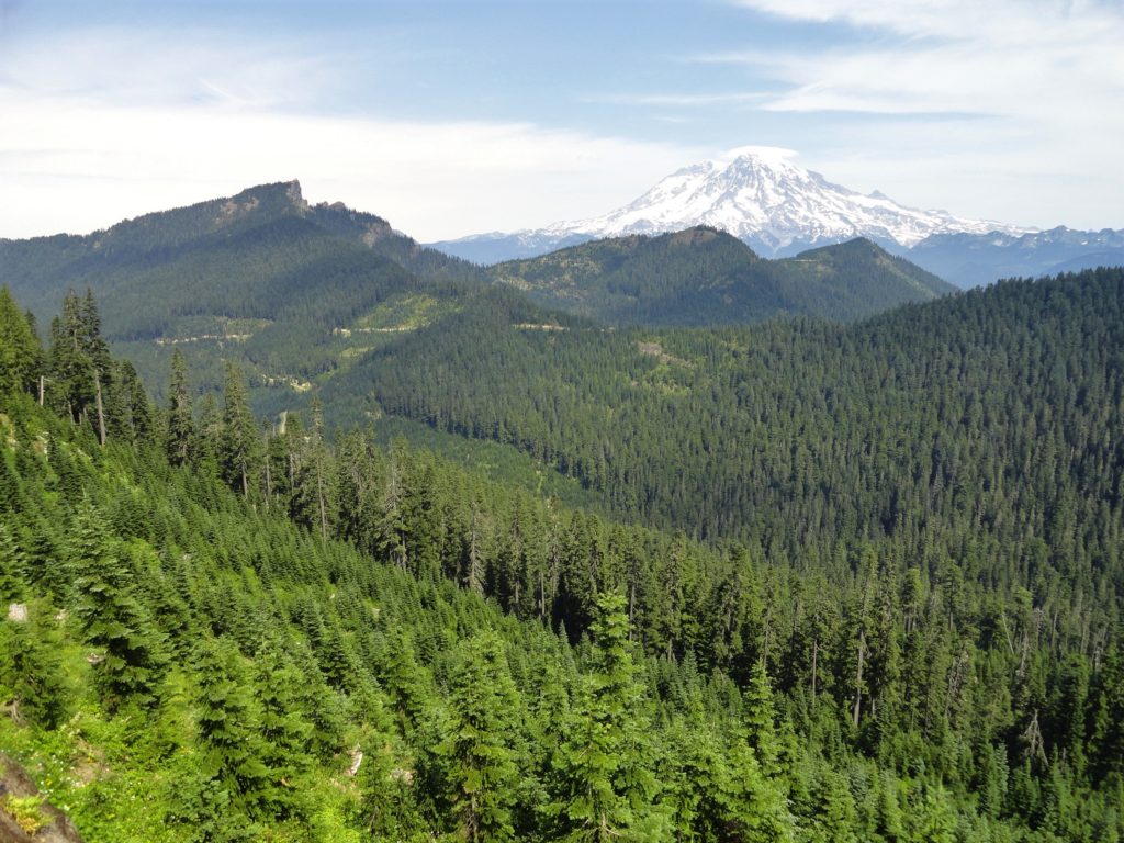
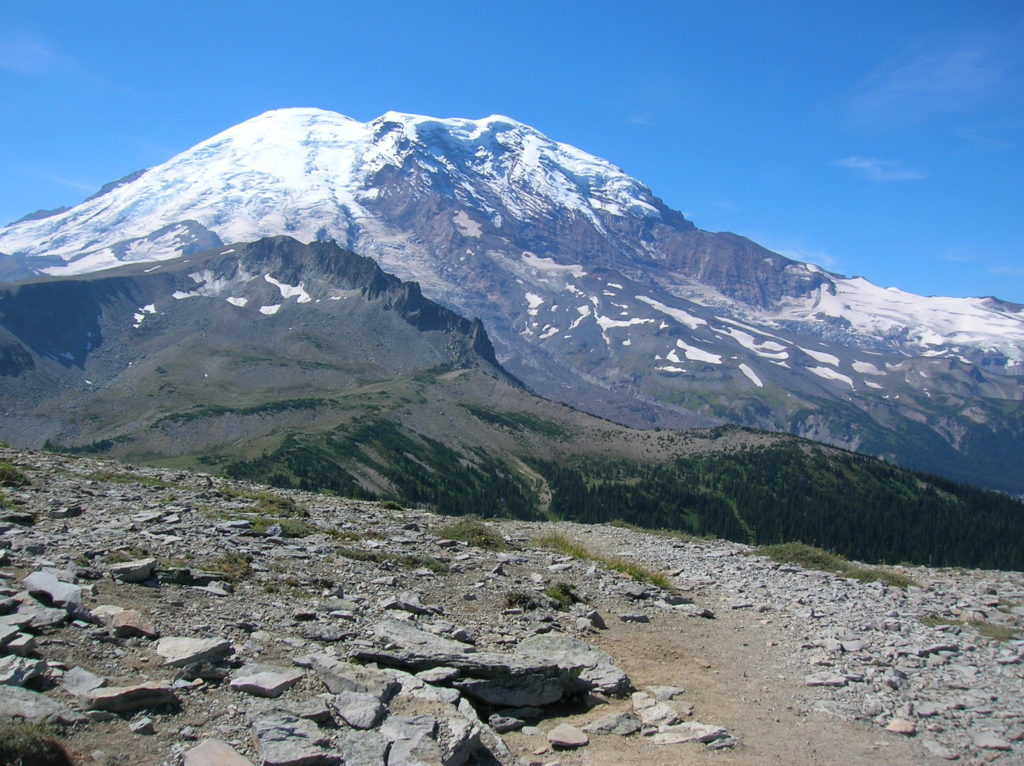
Mt Rainier
High Rock– The view of Rainier simply rocks from this precipitous peak!
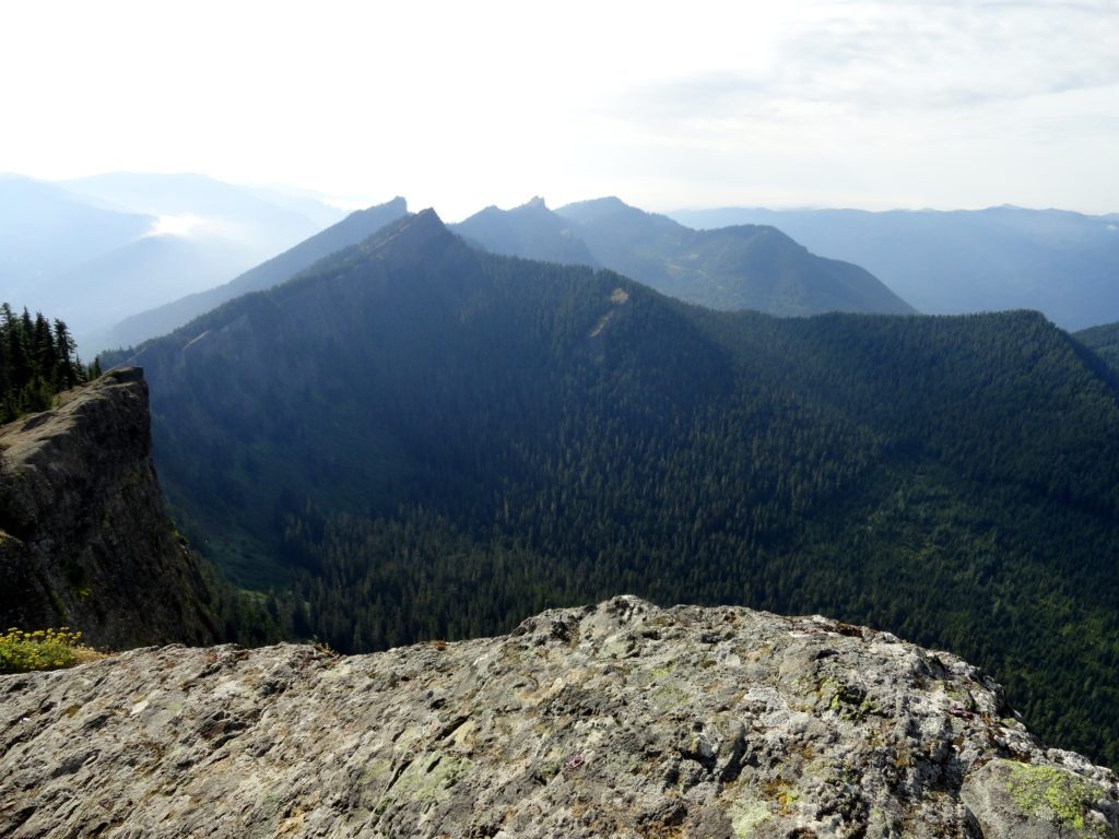
Quick Facts: Location: Sawtooth Ridge near Ashford and Packwood, WA Land Agency: Gifford Pinchot National Forest Roundtrip: 3.2 miles Elevation gain: 1,350 feet Green Trails Maps: Randle, WA no. 301 Contact: Cowlitz Valley Ranger Station (Randle); Gifford Pinchot National Forest Notes: Dogs are allowed, but should be on leash because of steep and dangerous drop offs.…
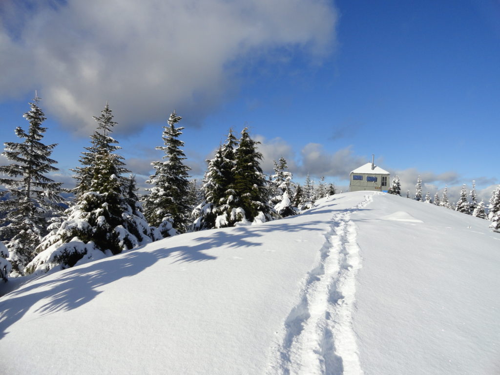
Read MoreCrystal Peak
Old fire lookout site grants some of the best views in Mount Rainier NP Quick Facts: Location: Mount Rainier National Park Land Agency: National Park Service Distance: 7.8 miles Elevation Gain: 3,400 feet Contact: Mount Rainier National Park Map: Green Trails Mount Rainier National Park 269SX Notes: National Park Entrance Fee or Interagency Pass, Dogs-prohibited…
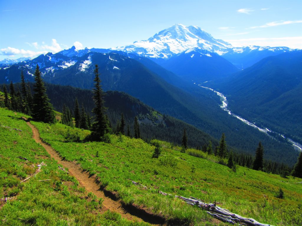
Read MoreSun Top — snowshoe to a historic lookout in the shadows of Mount Rainier
Quick Facts: Location: White River Valley Land Agency: Mount Baker-Snoqualmie National Forest Roundtrip: 11.0 miles Elevation gain: 3,050 feet Contact: Mount Baker-Snoqualmie National Forest Green Trails Map: Green Trails Maps – Greenwater no. 238 Notes: Sno-park Pass required. Route is non-groomed and shared with skiers (do not snowshoe on groomed ski trail). Beyond the upper…
Read MoreEastside Trail (Lower)
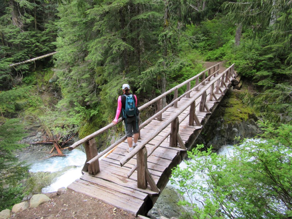
Quiet wanderings through ancient forests and by crashing cascades Quick Facts: Location Mount Rainier National Park Land Agency: United States National Park Service Distance: 9.0 miles one way Elevation Gain: 2200 feet Contact: Mount Rainier National Park Green Trails Map: Mount Rainier National Park 269SX Notes: Dog Prohibited, National Park Entrance Fee or Interagency Pass…
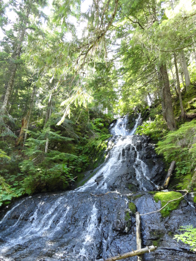
Read MoreGoat Falls –“Kid-friendly” snowshoe trip near Mount Rainier National Park
Quick Facts: Location: White River Valley Land Agency: Mount Baker-Snoqualmie National Forest Roundtrip: 2.5 miles Elevation gain: 500 feet Green Trails Map: Mount Rainier Wonderland no. 269SX Contact: Mount Baker-Snoqualmie National Forest; Snoqualmie Ranger DistrictNotes: Northwest Forest Pass required at actual trailhead. When snow level is low, parking may be a challenge. Do not block…
Read MoreAllen Mountain Trail Less Traveled near Mount Rainier
Quick Facts: Location: Mount Rainier region Land Agency: Gifford Pinchot National Forest Round Trip: 10.0 miles Elevation Gain: 2,350 feet Contact: Cowlitz Valley Ranger Station (Randle), Gifford Pinchot National Forest Green Trails Map: Randle, WA no. 301 Notes: Trails are also open to mountain bikes and motorcycles but use is light; this hike is lightly…
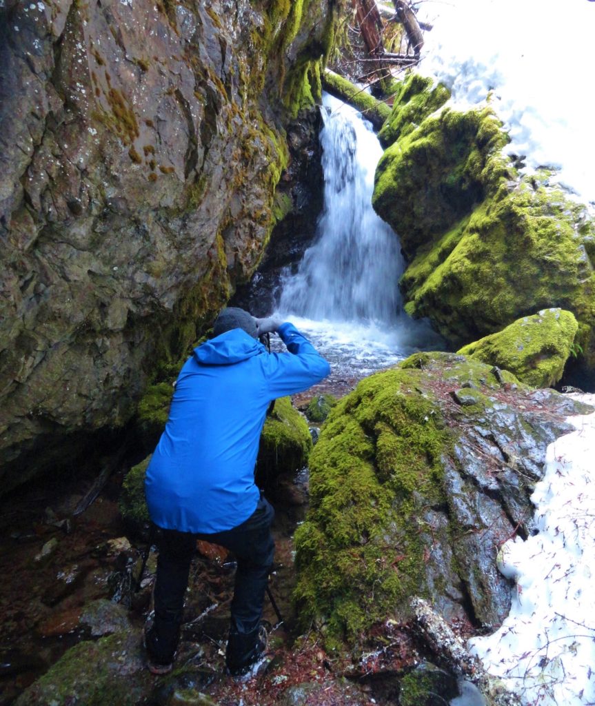
Read MoreCora Lake– Emerald lake cradled beneath craggy High Rock
Quick Facts: Location: Nisqually River Valley Land Agency: National Forest Service Roundtrip: 1.4 miles Elevation Gain: 400 feet Contact: Gifford Pinchot National Forest Green Trails Map: Randle, WA no. 301 Notes: no pass needed; creek crossing might be challenging early in the season; trail is open to mountain and motor bikes Access: From Elbe, follow SR 706 east…
Read MoreRiver Trail (Blue Diamond Trail)–Easily accessible and little-known trail along White River
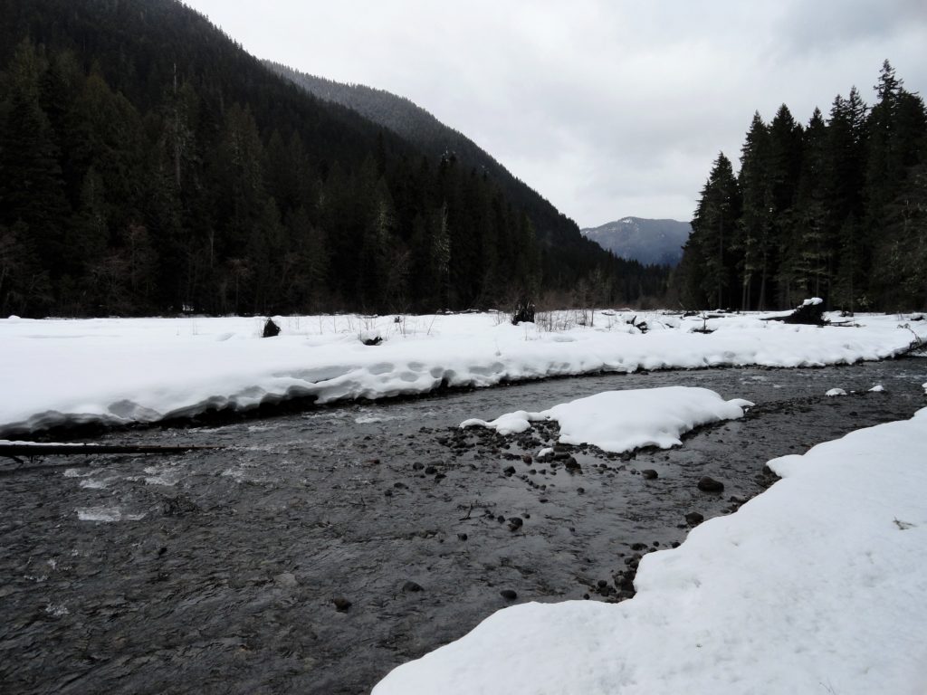
Quick Facts: Location: White River Valley Land Agency: Mount Baker-Snoqualmie National Forest Round Trip: 3.2 miles Elevation Gain: 100 feet Contact: Washington State Parks Sno-Parks Green Trails Map: Mount Rainier 269SX Notes: Sno-Park Pass required; Dogs allowed on leash Access: From Enumclaw follow SR 410 for 33 miles turning left (just before Mount Rainier National…
Read MoreSkyscraper Mountain–Enjoy sweeping views of Rainier from this towering summit
Location: Mount Rainier National Park Land Agency: National Park Service Roundtrip: 7.0 miles High Point: 7,078 feet Elevation gain: 1,500 feet Difficulty: moderate Green Trails Map: Mount Rainier Wonderland Map 269S Contact: Mount Rainier National Park Note: Park entrance fee; dogs prohibited Access: From Enumclaw, follow SR 410 east to Sunrise Road. Turn right and…
Read MoreLake West and Lake Helen – Seldom visited lakes within the shadows of Mount Rainier
Quick Facts: Location: Glacier View Wilderness Land Agency: Gifford Pinchot National Forest Roundtrip: 8.4 miles Elevation gain: 1,600 feet Green Trails Map: Mount Rainier West, WA no. 269 Contact: Cowlitz Valley Ranger Station (Randle), Gifford Pinchot National Forest Notes: FR 59 is rough in spots but is passable for passenger cars. Wilderness regulations apply. Free…
Read More