Pacific Northwest Trail
Hannegan Peak– Supreme views of snow and ice—and that’s the truth, Ruth!
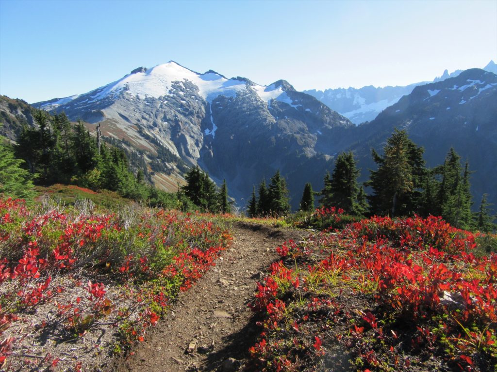
Quick Facts: Location: North Cascades Mount Baker Wilderness Land Agency: Mount Baker-Snoqualmie National Forest Roundtrip: 10.4 miles Elevation gain: 3,100 feet Green Trails Map: Mount Baker Wilderness 13SX Contact: Glacier Public Service Center or Mount Baker Ranger District: Mount Baker-Snoqualmie National Forest Notes: Northwest Trail Pass or Interagency Pass required; Wilderness rules apply Access: From…
Read MoreAbercrombie Mountain– Northeast Washington’s second highest summit is first rate when it comes to views
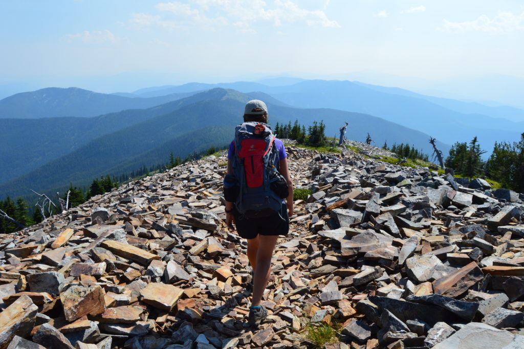
Quick Facts: Location: Abercrombie-Hooknose Roadless Area, Selkirk Mountains Land Agency: Colville National Forest Roundtrip: 7.4 miles Elevation gain: 2,300 feet Contact: Colville National Forest, Three Rivers Ranger District (Colville) (509) 684-3711 Notes: Access road requires high clearance vehicle Access: From Colville, Washington travel north on Aladdin Road (CR 9435) for 25 miles. Turn right on…
Read MoreWhistler Canyon-big on bighorn sheep and Okanogan River views
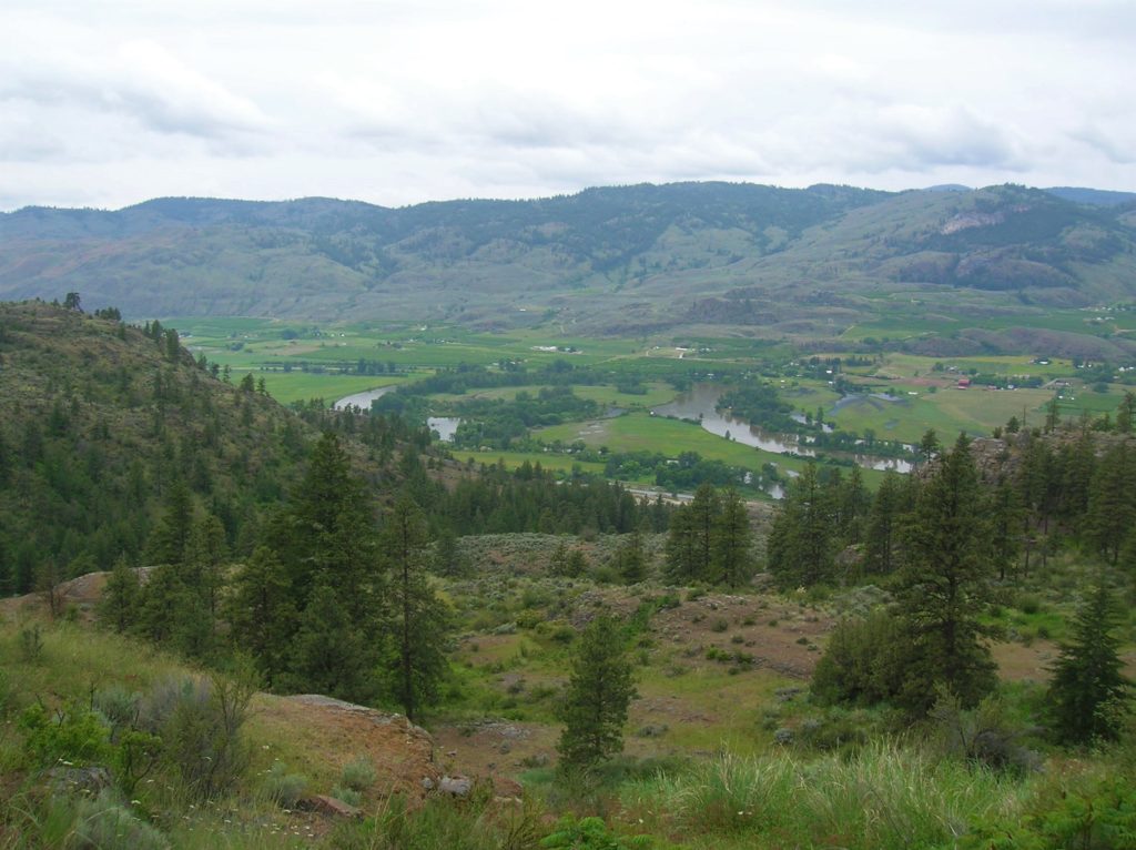
Location: Okanogan Valley near Oroville Land Agency: Okanogan-Wenatchee National Forest Roundtrip: 5.0 miles High Point: 1,950 feet Elevation gain: 1,250 feet Difficulty: moderate Contact: Pacific Northwest Trail Association Note: Dogs should be under strict control as to not disturb the bighorn sheep. Access: From Tonasket, follow US 97 north for 14.5 miles to trailhead turnoff…
Read MoreSugarloaf — Savor Sweet Salish Sea Views
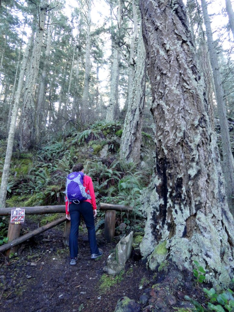
Quick Facts: Location: Anacortes, Fidalgo Island Land Agency: Anacortes Community Forest Lands Roundtrip: 2.5 miles Elevation gain: 650 feet Contact: Anacortes Parks and Recreation Notes: dogs permitted on leash; some trails open to bicycles, horses. Access: From Exit 230 on I-5 in Burlington, head west on SR 20 for 13.5 miles. Turn right onto…
Read MoreFort Casey Historical State Park — Frolic through a fort, to a lighthouse, and on a pretty beach
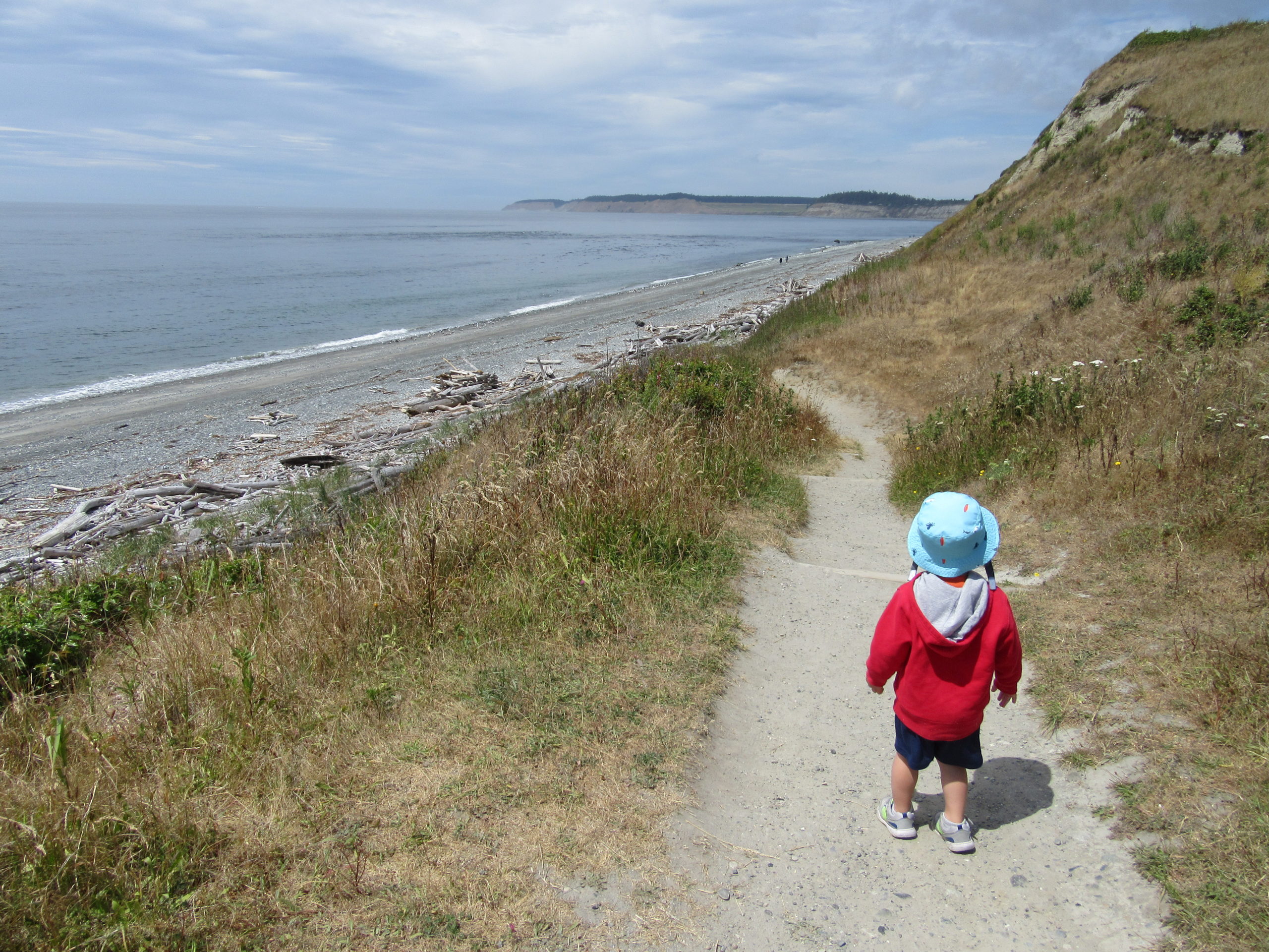
Quick Facts: Location: Whidbey Island Land Agency: Washington State Parks Round Trip: 1.8 miles of trails Elevation Gain: up to 90 feet Contact: Washington State Parks Recommended Resource: Urban Trails Everett (Mountaineers Books) Notes: Discover Pass required; Dogs allowed on leash Access: From Mukilteo take ferry to Clinton on Whidbey Island. Then continue north on…
Read MoreThirteenmile Canyon– Wander one of wildest wilderness canyons in Eastern Washington
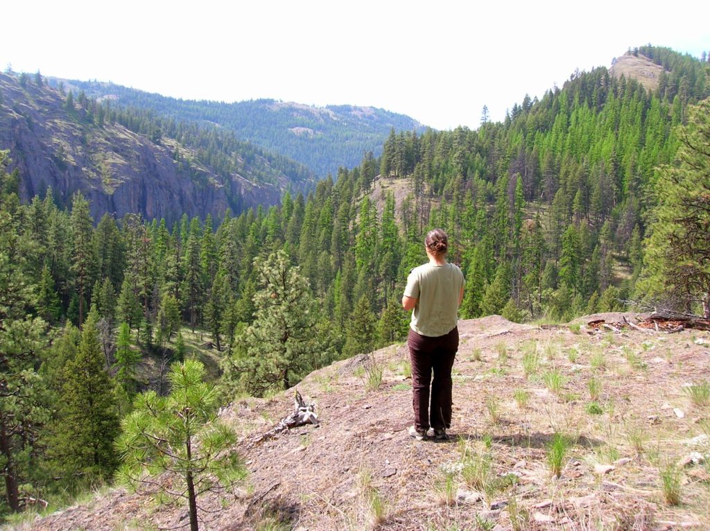
Location: Colville National Forest, Ferry County, Wa Land Agency: National Forest Service Roundtrip: 9.0 miles Elevation gain: 1,700 feet Contact: Colville National Forest, Republic Ranger District Notes: beware of rattlesnakes Access: From Republic follow SR 21 south 12.3 miles to trailhead located just within the Colville Indian Reservation Boundary. If coming from Wilbur, follow SR…
Read MoreHeart Lake– A perfect destination for a St. Valentine’s Day hike

Quick Facts: Location: Fidalgo Island Land Agency: Anacortes Parks Department Roundtrip: 3.0 miles Green Trails Map: Deception Pass/Anacortes Community Forest Lands No. 41S Elevation gain: 160 feet Contact: City of Anacortes Parks and Recreation; Friends of the Forest Notes: Dogs must be leashed; some trails open to bicycles, horses. Access: From Exit 230 on…
Read More