Snohomish County
Index Town Wall –Steep and stunning hike above the Forks of the Sky
Quick Facts: Location: Skykomish River Valley near Index Land Agency: Washington State Parks Roundtrip: 2.6 miles Elevation gain: 1,300 feet Green Trails Maps: Alpine Lakes Stevens Pass Map 176S Contact: Washington State Parks Notes: Discover Pass required; Dogs must be leashed Access: From Everett follow US 2 east for 36 miles. Turn left onto North…
Read MoreBig Four Ice Caves — Cool attraction is a hot destination
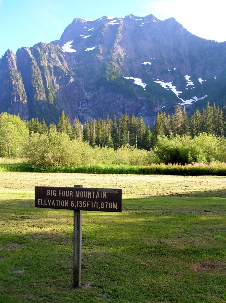
Quick Facts: Location: Mountain Loop Highway near Granite Falls Land Agency: Mount Baker-Snoqualmie National Forest Roundtrip: 2.2 miles Elevation gain: 200 feet Difficulty: easy Green Trails Map: Mountain Loop Highway 111SX Contact: Darrington Ranger District: Mount Baker- Snoqualmie National Forest or Verlot Public Service Center (summer weekends) (360) 691-7791 Notes: NW Forest Pass required; DO NOT…
Read MoreNakashima Barn─Northern portal to long distance Centennial Trail
Quick Facts Location: SR 9 just south of Skagit County line Land Agency: Snohomish County Parks Roundtrip: 8.0 miles Elevation Gain: Minimal Access: From Arlington (junction of SR 530-SR 9), follow SR 9 north for 7.6 miles turning left into park. Proceed .1 mile to parking area. Notes: Dogs must be on leash. Contact: Snohomish…
Read MoreBig Ditch─Dig in for some excellent swan and snow geese viewing
Quick Facts Location: Skagit Bay, Stanwood Land Agency: Washington Department of Fish and Wildlife Roundtrip: 3.6 miles Elevation Gain: None Access: From Exit 212 on I-5 head west on SR 532 for five miles to the town of Stanwood. Turn right onto the Pioneer Highway and proceed for 2.6 miles to the junction with the Old…
Read MoreAl Borlin Park – Serene scenery along the Skykomish River

Quick Facts: Location: City of Monroe Land Agency: Monroe Parks and Recreation Department Roundtrip: 1.5 miles Elevation Gain: Minimal Notes: Dogs must be on leash; Trail is prone to flooding during periods of heavy rain. Access: From Everett follow US 2 east to Monroe. Turn right onto SR 203 (Lewis Street). Proceed past Main Street traffic lights and within a short…
Read MoreCircle Peak–Round this summit for fantastic 360-degree views

Location: White Chuck River Valley, Mountain Loop Highway Land Agency: Mount Baker-Snoqualmie National Forest Roundtrip: 18.6 miles High Point: 5,983 feet Elevation gain: 4,800 feet Difficulty: challenging Notes:FR 23 is currently is closed at mile 4 due to a washout Green Trails Maps: Mountain Loop Highway no. 111SX Recommended Guidebook: Day Hiking North Cascades 2nd…
Read MoreFlower Dome –Beauty blossoms from this peak deep within the Glacier Peak Wilderness
Quick Facts: Location: Glacier Peak Wilderness Land Agency: Mount Baker-Snoqualmie National Forest Roundtrip: 21.0 miles Elevation Gain: 3,700 feet Green Trails Map: Holden, WA- No. 113 Contact: Darrington Ranger District: Mount Baker Snoqualmie National Forest Notes: Northwest Forest Pass or Interagency Pass required Access: From Everett, head 85 miles east on US 2 to Coles Corner turning left onto…
Read MoreSpada Lake–dam nice views of the Sultan Basin
Quick Facts: Location: Sultan Basin Land Agency: Snohomish County Public Utility District Roundtrip: 1.6 miles Elevation Gain: 300 feet Green Trails Map: Mountain Loop HIghway No. 111SX Access: From Everett follow US 2 east to Sultan. At a traffic light just past Milepost 23 turn left onto Sultan Basin Road. Follow for 13.2 miles (pavement ends at 10.4 miles) to…
Read MoreJennings Park─History, nature, gardens and more
Quick Facts: Location: Marysville Land Agency: Marysville Parks and Recreation Roundtrip: 1.5 miles Elevation Gain: 50 feet Contact: Marysville Parks Notes: Dogs must be leashed. Access: From Exit 199 on I-5, head east on SR 528 (4th Street) about 1.5 miles to parking and trailhead on left. Good to know: dog-friendly, kid-friendly, historic Jennings Park…
Read MoreMonte Cristo — Last Chance to visit Ghost Town for awhile
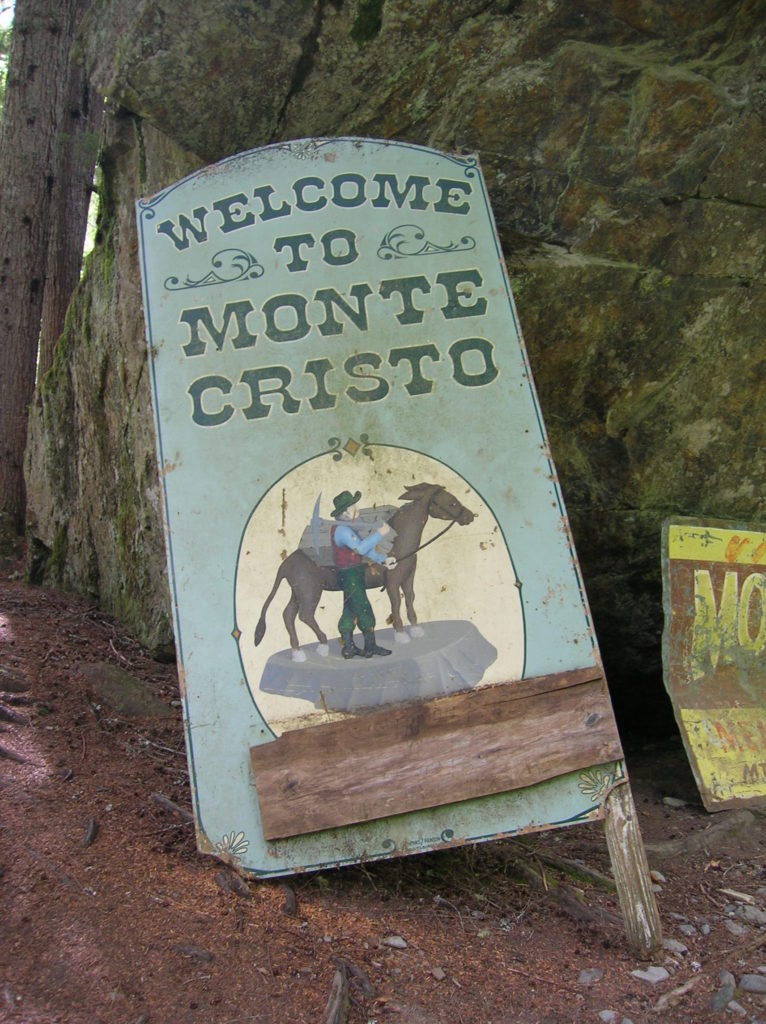
Quick Facts: Location: Mountain Loop Highway near Granite Falls Land Agency: Mount Baker-Snoqualmie National Forest Roundtrip: 8.0 miles High Point: 2,800 feet Elevation gain: 500 feet Difficulty: moderate Green Trails Maps: Sloan Peak, WA- No. 111; Monte Cristo, WA- No. 143 Contact: Darrington Ranger District: Mount Baker Snoqualmie National Forest Notes: Northwest Forest Pass required. Trail and town site closes on April 15th 2015 and…
Read More