Uncategorized
Lookout Loop

A good grunt to a so-so viewpoint in a great new forest preserve Quick Facts: Location: Lookout Mountain Forest Preserve Land Agency: Whatcom County Parks Round Trip: 4.0 miles Elevation Gain: 850 feet Contact: Whatcom County Parks Notes: dogs permitted on leash, trail open to mountain bikes Recommended Guidebook: Urban Trails Bellingham (Mountaineers Book) Access:…
Read MoreCatherine Creek Rock Arch–A touch of Utah in the Northwest!
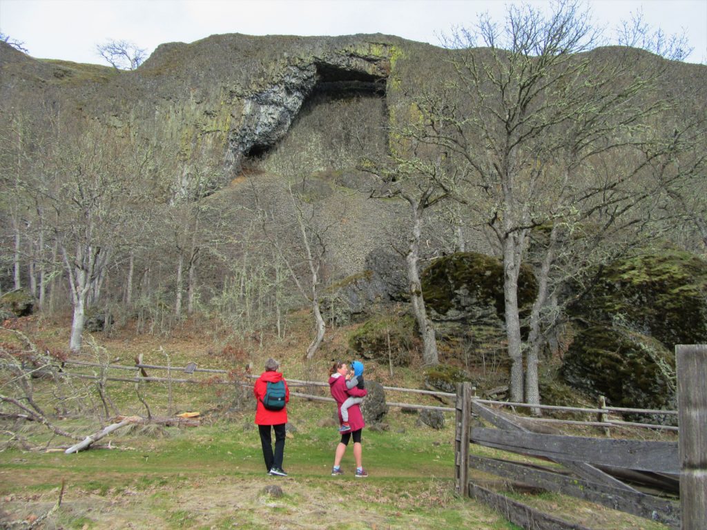
Location: Columbia River Gorge National Scenic Area Land Agency: Columbia Gorge National Scenic Area Roundtrip: 2.3 miles Elevation gain: 370 feet Difficulty: Easy Contact: Columbia Gorge National Scenic Area Notes: Dogs permitted on leash. Be aware or ticks and poison oak. Green Trails Map: Columbia River Gorge East No. 432S Good to Know: kid-friendly, dog-friendly…
Read MoreTucannon River– Riverside trail will have you singing the Blues

Quick Facts: Location: Blue Mountains Land Agency: Umatilla National Forest Roundtrip: 8.0 miles Elevation Gain: 500 feet Contact: Umatilla National Forest, Pomeroy Ranger District Detailed Information: Day Hiking Eastern Washington (Mountaineers Books) Notes: Northwest Forest Pass or Interagency Pass required Access: From Dayton, head east on Patit Road for 14 miles turning left onto Hartsuck Grade following 4.0…
Read MoreNorth Fork Sauk River — Walk among ancient giants
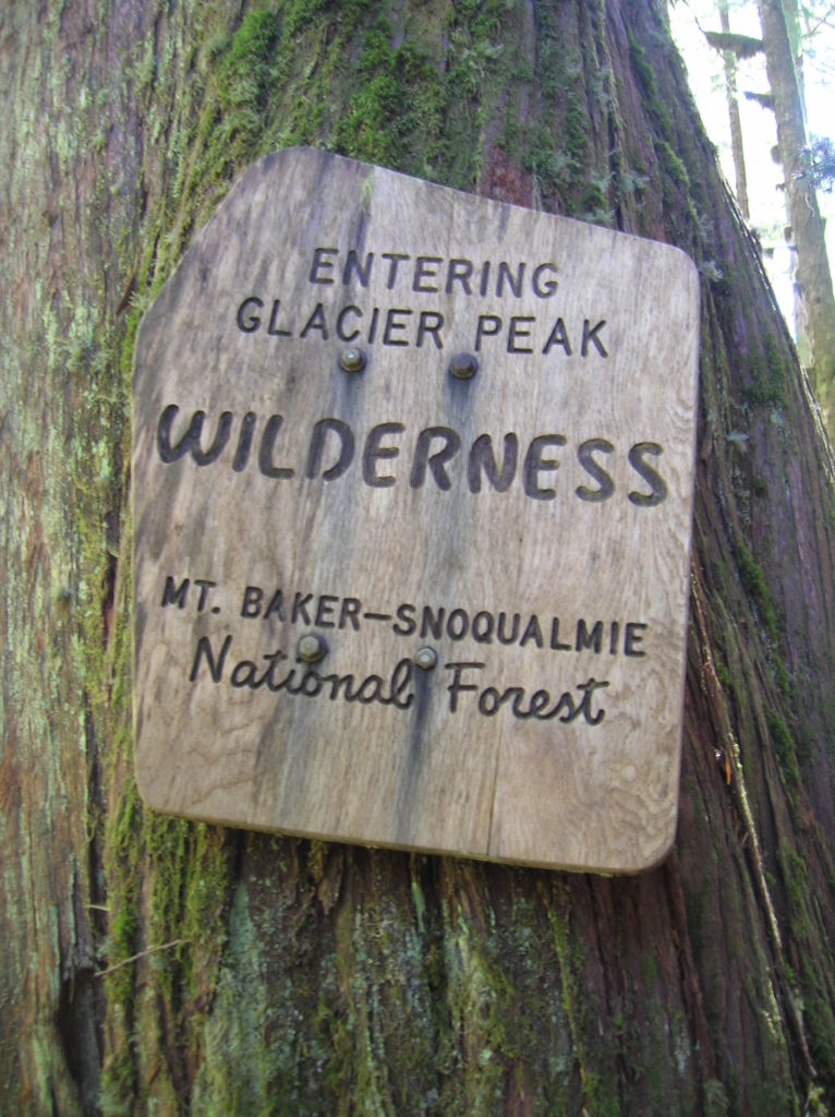
Quick Facts: Location: Mountain Loop Highway Land Agency: Mount Baker-Snoqualmie National Forest Roundtrip: 11.6 miles Elevation gain: 900 feet Green Trails Maps: Mountain Loop Highway Map 111SX Contact: Darrington Ranger District: Mount Baker Snoqualmie National Forest Guidebook Resource: Day Hiking North Cascades (Mountaineers Books) Notes: NW Forest Pass or Interagency Pass required Access: From Darrington,…
Read MoreSwan Lake and Butte–listen to the cry of the loon
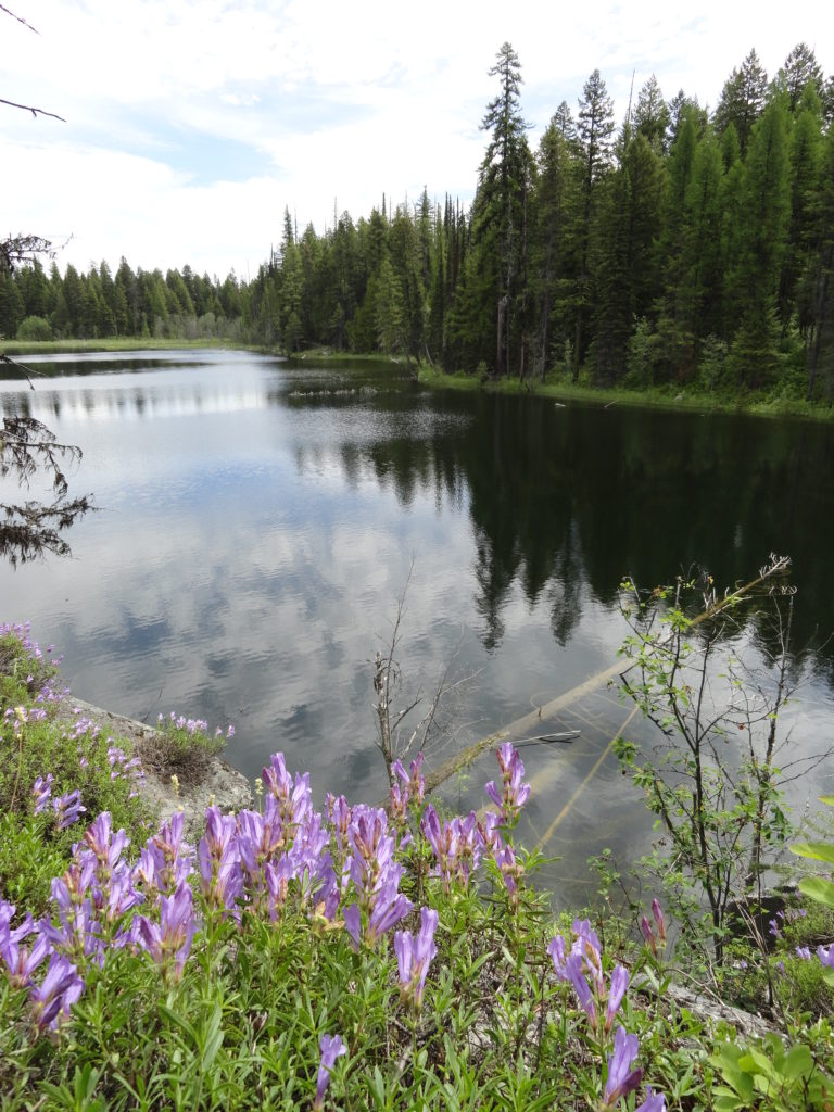
Quick Facts: NOTE: Road to Swan Lake has been damaged due to winter storms and may not be open. Call Republic Ranger District for road status (509) 775-7400 Location: Colville National Forest, near Republic Land Agency: US Forest Service Roundtrip: 3.1 miles Elevation gain: 360 feet Contact: Colville National Forest Notes: Dogs permitted on leash, but…
Read MoreIndependence Lake–A great place to celebrate the 4th of July and the Freedom of the Hills
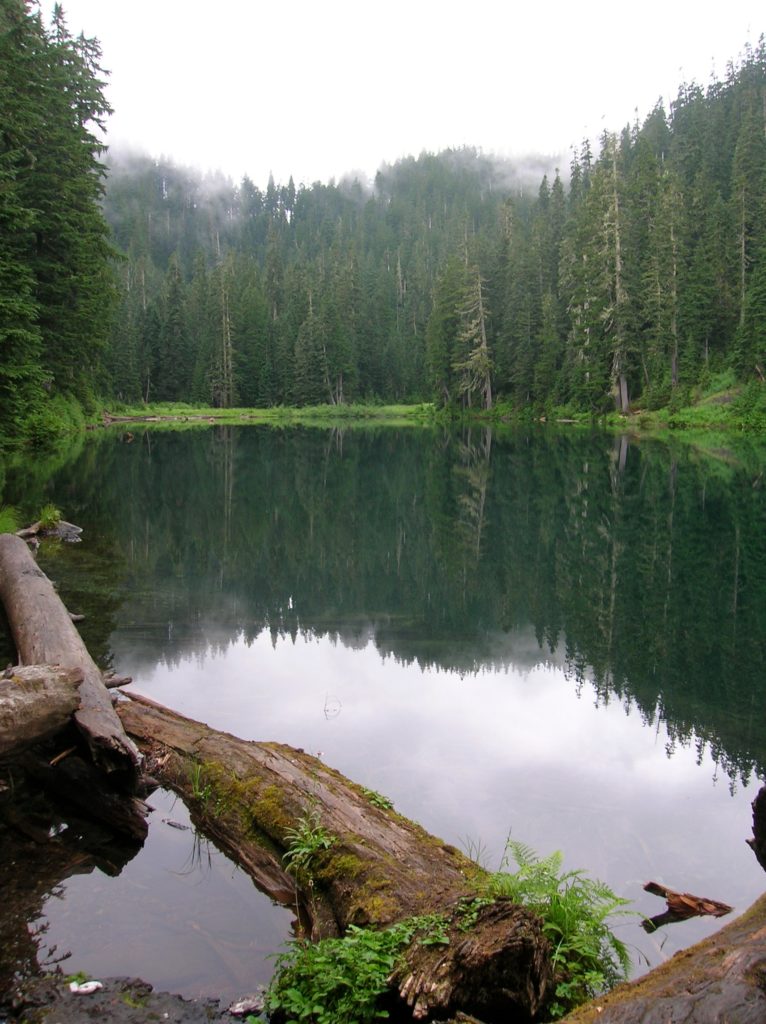
Quick Facts Location: Mountain Loop Highway near Granite Falls Land Agency: Mount Baker-Snoqualmie National Forest Roundtrip: 1.5 miles…
Read MoreMonte Cristo–Count down is near for clean-up of historic mining town
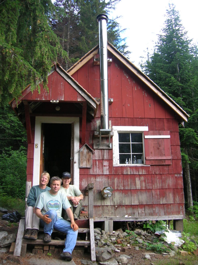
Quick Facts Location: Mountain Loop Highway near Granite Falls Land Agency: Mount Baker-Snoqualmie National Forestuntain Loop Highway near Granite Falls Roundtrip: 8.0 miles High Point: 2,800 feet Elevation gain: 500 feet Difficulty: moderate Green Trails Maps: Sloan Peak, WA- No. 111; Monte Cristo, WA- No. 143 Contact: Darrington Ranger District: Mount Baker Snoqualmie National Forest…
Read MoreNorth Fork Sauk Falls–Thundering Cataract is a spectacular spectacle in the spring
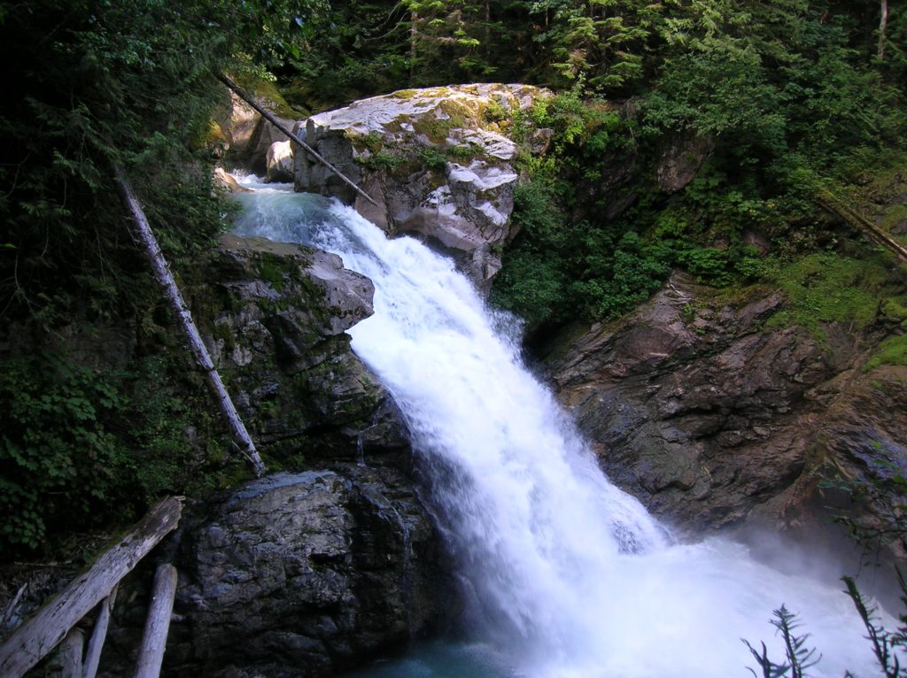
Location: Mountain Loop Highway near Darrington Land Agency: MountBaker-SnoqualmieNational Forest Roundtrip: .5 mile Elevation gain: 100 feet Contact: Darrington Ranger District: Mount Baker Snoqualmie National Forest (360) 436-1155 Green Trails Maps: Sloan Peak, WA-No. 111 Access: From Arlington, follow SR 530 east for 28 miles to Darrington. Turn right onto the Mountain Loop Highway and…
Read More