Wildflowers
Image Lake — jewel in the heart of the Glacier Peak Wilderness
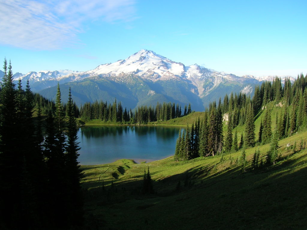
Quick Facts: Location: Glacier Peak Wilderness Land Agency: Mount Baker-Snoqualmie National Forest Roundtrip: 33.0 miles Elevation Gain: 4,700 feet Green Trails Map: Mountain Loop Highway 111SX Contact: Darrington Ranger District: Mount Baker Snoqualmie National Forest Notes: NW Forest or Interagency Pass required; No camping within ¼ mile of Image Lake—use established campsites; no fires at lake; respect re-vegetation…
Read MoreWapaloosie Mountain–a wapaloosie of a peak indeed!
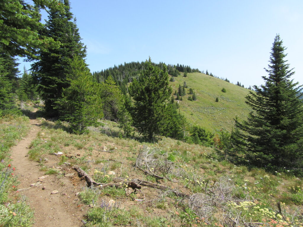
Location: Kettle River Range Land Agency: National Forest Service Roundtrip: 6.0 miles Elevation gain: 2,000 feet Contact: Colville National Forest Access: From Republic, head east on SR 20 for 21 miles turning left onto FR 2030 (Albion Hill Road). From Kettle Falls, head west on SR 20 for 22 miles, turning right onto FR 2030. Follow FR…
Read MoreGreenwood Lake–Solitude in the shadow of High Rock

Quick Facts: Location: Nisqually River Valley Land Agency: National Forest Service Round Trip: 4.0 miles Elevation Gain: 1450 feet Contact: Cowlitz Valley Ranger Station (Randle), Gifford Pinchot National Forest Green Trails Maps: Randle, WA no. 301 Notes: Road to trailhead can be rough. Trail is open to motorcycles but sees little use as it receives little…
Read MoreEvergreen Mountain—short and easy hike in the Wild Sky

Quick Facts: Location: Wild Sky Wilderness near Skykomish River Valley Land Agency: National Forest Service Roundtrip: 3.0 miles Elevation Gain: 1,400 feet Access: From Everett head east on US 2 for 50 miles (just past Skykomish) turning left onto Beckler River Road (FR 65). Continue 12.6 miles to a five-way junction at Jack Pass. Take…
Read MoreAlpine Lookout –Wallow in good views and a chance to see a mountain goat or two
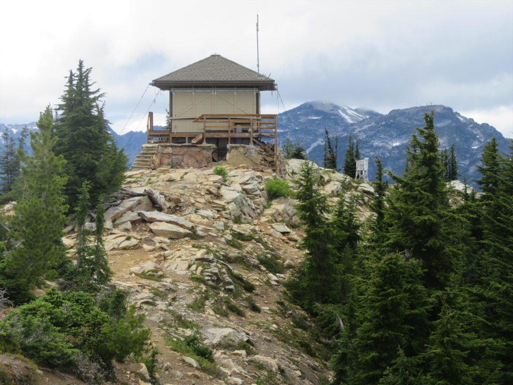
Quick Facts:Location: Stevens Pass-Lake Wenatchee regionLand Agency: Okanogan-Wenatchee National ForestRound Trip: 10.0 milesElevation Gain: 2,600 feetContact: Wenatchee River Ranger District (Leavenworth): Okanogan-Wenatchee National Forest Green Trails Map: Wenatchee Lake- No. 145Recommended Guidebook: Day Hiking Central Cascades 2nd editionNotes: NW Forest Pass or Interagency Pass Required.Several miles of trails on this hike are also open to mountain bikes…
Read MoreLower Big Quilcene River─Lowland hike teems with primeval beauty
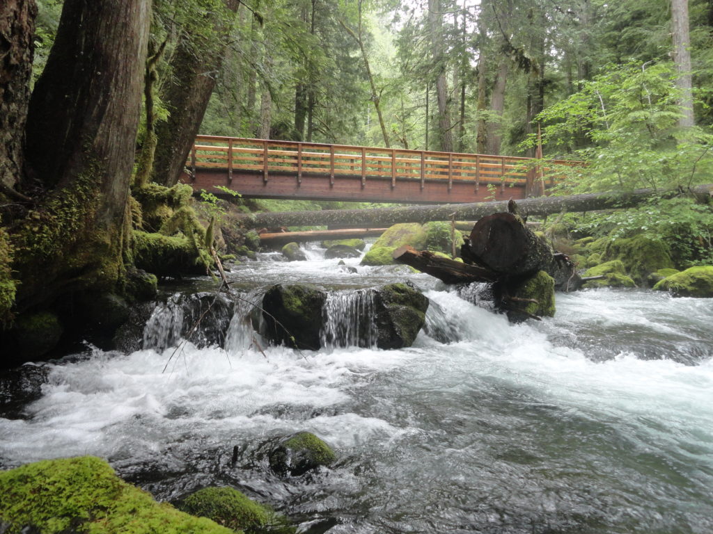
Quick Facts: Location: Olympic National Forest, Hood Canal District Land Agency: National Forest Service Roundtrip: To Camp Jolly 10.2 miles Green Trails Map: Olympic Mountains East 168SX Elevation Gain: 800 feet Contact: Hood Canal District, Quilcene Good to Know: kid-friendly, dog-friendly, open to mountain bikes, backpacking opportunities, old-growth, exceptional rhodies, Practice Leave No Trace Principles Access: From…
Read MorePeshastin Pinnacles — Hike though a magical kingdom of rocky spires

Quick Facts: Location: Wenatchee River Valley near Leavenworth Land Agency: Washington State Parks Roundtrip: 1.5 miles Elevation gain: 400 feet Green Trails Maps: Wenatchee Mission Ridge no. 211S Contact: Peshastin Pinnacles State Park Notes: Discover Pass required; dogs must be leashed. Access: From Leavenworth follow US 2 east for 9 miles turning left onto North…
Read MoreTurtlehead — It’s one shell of a view from this Turtleback Mountain summit
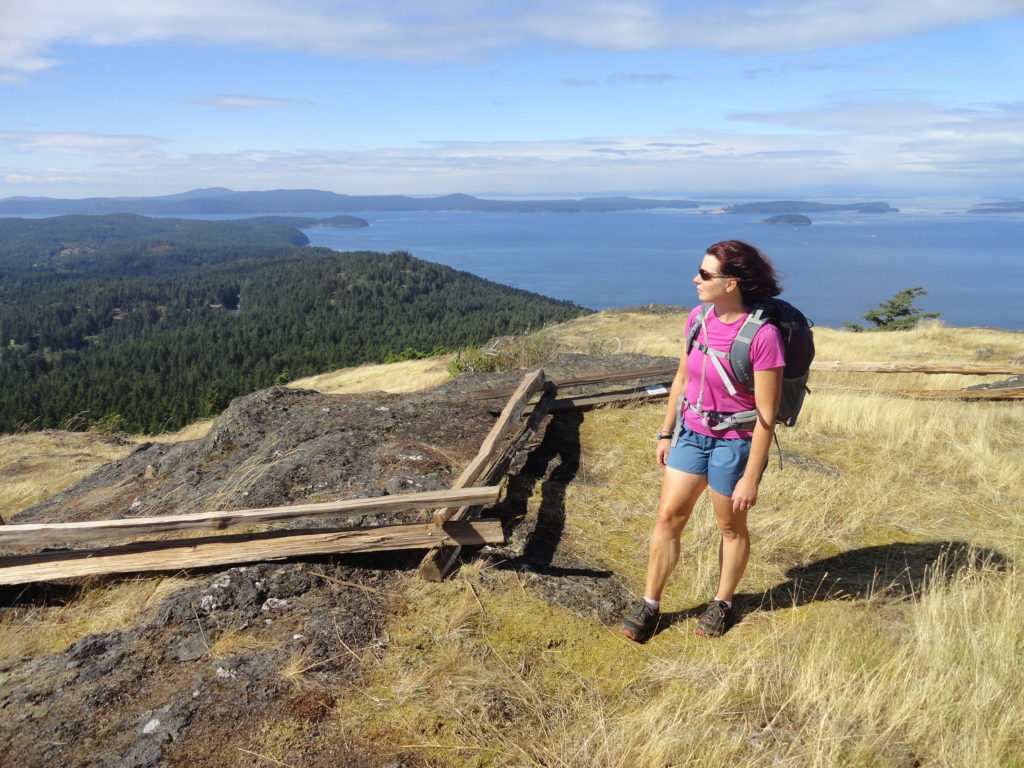
Quick Facts: Location: Orcas Island, San Juan Islands Land Agency: San Juan County Land Bank Roundtrip: 5.6 miles Elevation Gain: 1295 feet Contact: San Juan County Land Bank Notes: Dogs permitted on leash; trail (partial) open to bikes (even days) and horses (odd days) Access: Take Washington State Ferry from Anacortes to Orcas Island. Then head…
Read MoreSherman Peak Loop– In general, the views are great

Quick Facts: Location: Kettle River Range, Ferry County Land Agency: National Forest Service Roundtrip: 6.0 miles Elevation gain: 1200 feet Contact: Colville National Forest, Republic Ranger District Notes: Hunting season has begun, wear orange Access: From Republic, head east on SR 20 for 16.8 miles to Sherman Pass. Turn left and follow access road .1…
Read MoreGranite Mountain- classic fire lookout hike at Snoqualmie Pass
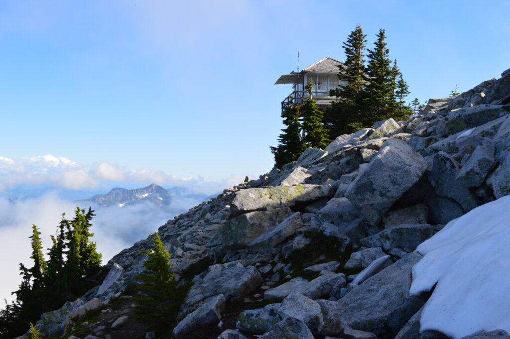
Quick Facts: Location: Snoqualmie Pass Region Land Agency: National Forest Service Round Trip: 9.0 miles Elevation Gain: 3700 feet Contact: Mount Baker-Snoqualmie National Forest, Snoqualmie Ranger District North Bend Green Trails Maps: Green Trails, Snoqualmie Pass Gateway no. 207SX Notes: Northwest Forest pass or Interagency Pass required; Alpine Lakes Wilderness use permit required May 15—Oct 31,…
Read More