Region
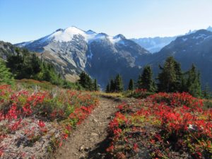
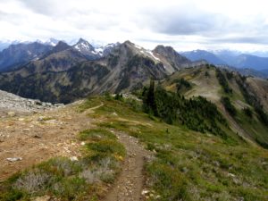
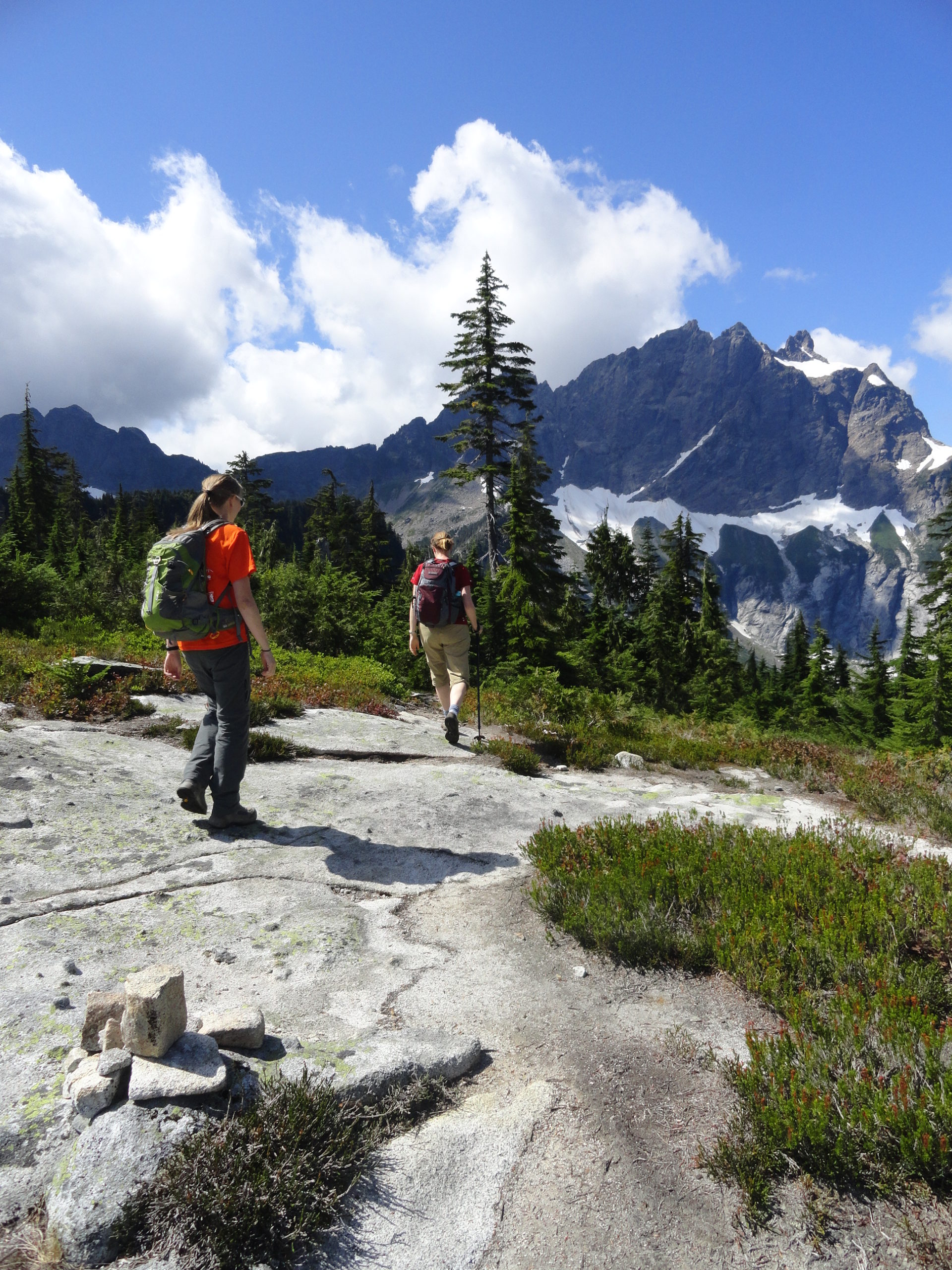
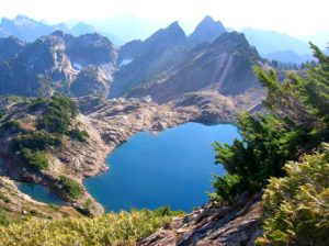
North Cascades
Quick Facts Location: Boulder River Wilderness, Mountain Loop Highway near Granite Falls Land Agency: Mount Baker-Snoqualmie National Forest Roundtrip: 5.2 miles Elevation Gain: 1,300 feet Green Trails Map: Mountain Loop Highway WA- No. 111SX Recommended Guidebook: Day Hiking North Cascades 2nd edition (Mountaineers Books) Access: From Granite Falls follow the Mountain Loop Highway east for…
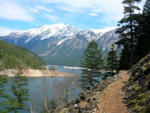
Quick Facts: Location: North Cascades Scenic Highway Land Agency: Ross Lake National Recreation Area, National Park Service Roundtrip: 11.8 miles Elevation gain: 1200 feet Green Trails Maps: Green Trails, North Cascades Ross Lake No. 16SX Contact: North Cascades National Park complex Notes: Dogs must be leashed Access: From Burlington follow SR 20 east to Marblemount. Then…
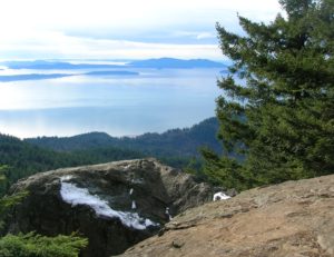
Quick Facts: Location: Chuckanut Mountains Land Agency: Washington Department of Natural Resources Roundtrip: 6.5 miles Elevation Gain: 1,900 feet Special Note: Oyster Dome can be hazardous in icy and wet conditions. Trail can be extremely popular, opt for a weekday visit. Contact: Washington DNR, Northwest Region; www.dnr.wa.gov Access: Trailhead is located just past milepost 10…
Quick Facts: Location: Mountain Loop Highway near Granite Falls Land Agency: Mount Baker-Snoqualmie National Forest Roundtrip: 5.0 miles Elevation Gain: 1,050 feet Notes: NW Forest Pass or Interagency Pass required. ‘Green Trails Map: Mountain Loop Highway 111SX Contact: Darrington Ranger District: Mount Baker Snoqualmie National Forest; www.fs.fed.us/r6/mbs More information: Day Hiking North Cascades 2nd edition…
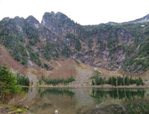
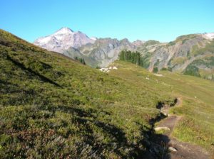
Quick Facts: Location: North Cascades Mount Baker Wilderness Land Agency: Mount Baker-Snoqualmie National Forest Roundtrip: 10.4 miles Elevation gain: 3,100 feet Green Trails Map: Mount Baker Wilderness 13SX Contact: Glacier Public Service Center or Mount Baker Ranger District: Mount Baker-Snoqualmie National Forest Notes: Northwest Trail Pass or Interagency Pass required; Wilderness rules apply Access: From…
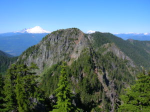
Awe-inspiring autumn alternative to a popular adjacent butte Quick Facts: Location: Mount BakerWilderness Land Agency: National Forest Service Distance: 5.2 miles Elevation Gain: 1850 feet Contact: Mount Baker–Snoqualmie National Forest, Mount Baker Ranger District, Green Trails Map: Green Trails Mount Baker Wilderness no. 13SX Recommended Guidebook: Day Hiking North Cascades 2nd edition (Mountaineers Books) Notes:…
Quick Facts: Location: Boulder River Wilderness, Mountain Loop Highway Land Agency: Mount Baker-Snoqualmie National Forest Roundtrip: 6.0 miles High Point: 4,075 feet Elevation gain: 2,300 feet Difficulty: difficult Green Trails Maps: Mountain Loop Highway 111SX Contact: Darrington Ranger District: Mount Baker Snoqualmie National Forest Recommended Guidebook: Day Hiking North Cascades 2nd edition Access: From Darrington, follow…
Quick Facts: Location: Mountain Loop Highway near Granite Falls Land Agency: Mount Baker-Snoqualmie National Forest Service and Washington Department of Natural Resources Roundtrip: 9.4 miles Elevation Gain: 2,900 feet Green Trails Maps: Mountain Loop Highway 111SX Access: From Granite Falls follow the Mountain Loop Highway east for 31 miles to Barlow Pass. Hike begins by walking up gated Monte Cristo…
Quick Facts: Location: North Fork Sauk River Land Agency: Mount Baker-Snoqualmie National Forest Roundtrip: 20.6 miles Elevation Gain: 4,300 feet Contact: Darrington Ranger District: Mount Baker Snoqualmie National Forest (360) 436-1155; www.fs.fed.us/r6/mbs Green Trails Map: Mountain Loop Highway 111SX Special Note: Northwest Trail Pass required. Access: From Darrington, travel south on the Mountain Loop Highway…
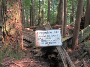
Quick Facts: Location: Finney Block, Skagit Valley Land Agency: Mount Baker-Snoqualmie National Forest Roundtrip: 3.0 miles Elevation Gain: 700 feet Contact: Mount Baker Ranger District: Mount Baker Snoqualmie National Forest (360) 856-5700; www.fs.fed.us/r6/mbs Green Trails Map: Oso, WA-No. 77 Access: From Burlington head east 28 miles on SR 20 towards Concrete turning right onto the…