Posts Tagged ‘Backpacking’
Suiattle River– A wild river and majestic primeval forest within the shadows of Glacier Peak
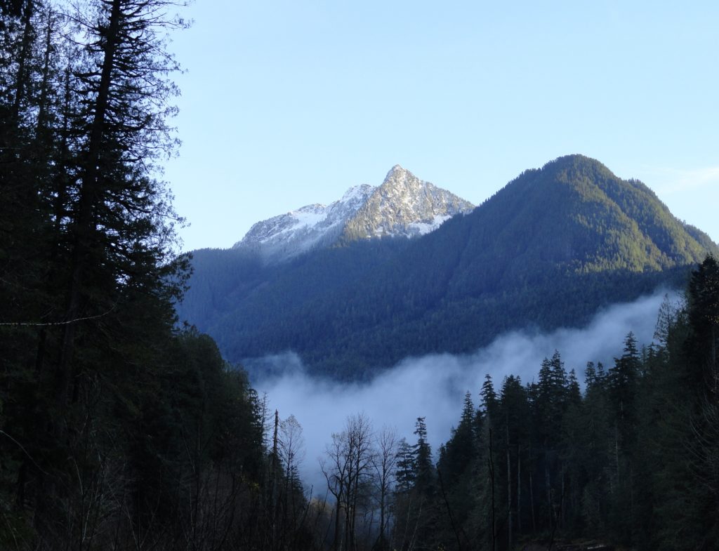
Quick Facts: Location: Suiattle River Road Land Agency: Mount Baker-Snoqualmie National Forest Roundtrip: 13.0 miles Elevation gain: 1,000 feet Green Trails Maps: Mountain Loop Highway no. 111SX Contact: Darrington Ranger District: Mount Baker-Snoqualmie National Forest Notes: Northwest Forest Pass or interagency pass required Access: From Darrington travel north on SR 530 for 7.5 miles turning…
Read MoreGrand Valley–Aptly named valley has it all; lakes, meadows, and fantastic alpine scenery

Quick Facts: Location: Obstruction Point (Hurricane Ridge) Land Agency: National Park Service Roundtrip: 9.8 miles Elevation gain: 2,400 feet Contact: Olympic National Park Wilderness Information Center Green Trails Map: Elwha North/Hurricane Ridge-No. 134S Notes: Dogs prohibited; National Park Entry Fee required Access: From Port Angeles follow the Hurricane Ridge Road (Heart O the Hills Parkway)…
Read MoreCooney Lake–larches at the edge of the North Cascades
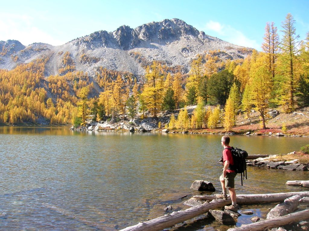
Location: Sawtooth Ridge Roadless Area Land Agency: Okanogan-Wenatchee National Forest Roundtrip: 16 miles High Point: 7,300 feet Elevation gain: 3,800 feet Difficulty: moderate Green Trails Maps: Prince Creek, WA- No. 115 Contact: Methow Valley Ranger District: Okanogan-Wenatchee National Forest Notes: Northwest Forest Pass or Interagency Pass required Access: From Twisp follow SR 153 south turning…
Read MoreRoyal Basin–Crown jewel of the Olympic Rain shadow

Location: Northeast Olympic Peninsula Land Agency: National Park Service Roundtrip: 16.0 miles Elevation gain: 2700 feet Contact: Olympic National Park Wilderness Information Center Green Trails Map: Olympic Mountains East No. 168SX Notes: NW Forest Pass or Interagency Pass required; Dogs-prohibited at national park boundary (at 1.3 miles) Good to Know: Exceptional Wildflowers, Backpacking options Access: Take…
Read MoreFisher Lake–Quiet backcountry lake beyond Tonga Ridge
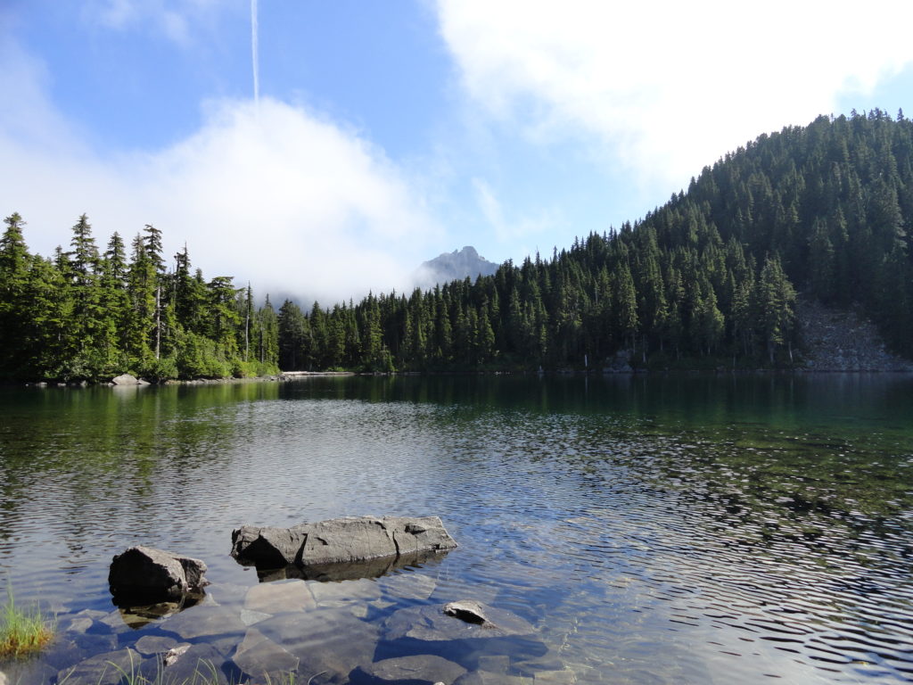
Quick Facts: Location: Skykomish Valley Land Agency: National Forest Service Round Trip: 10.0 miles Elevation Gain: 1350 feet Contact: Skykomish Ranger District, Mount Baker-Snoqualmie National Forest Green Trails Maps: Alpine Lakes West Stevens Pass No 176S Notes: Northwest Forest Pass or Interagency Pass required Access: Follow US 2 east to Skykomish. Then continue east for 1.9 miles…
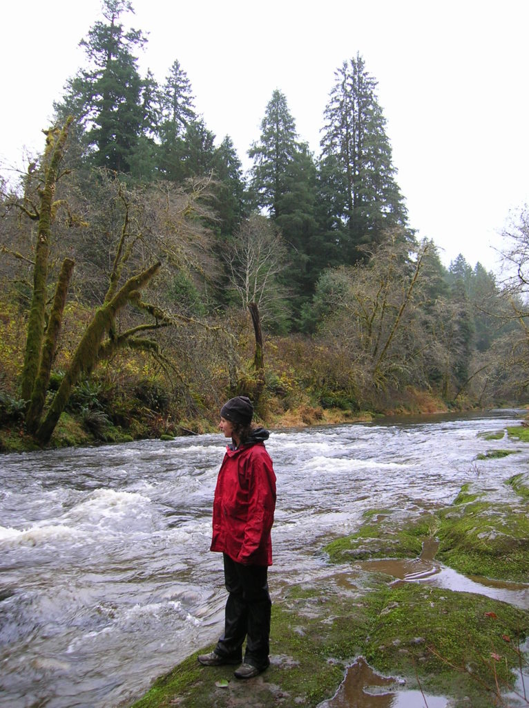
Read MoreLower Big Quilcene River─Lowland hike teems with primeval beauty
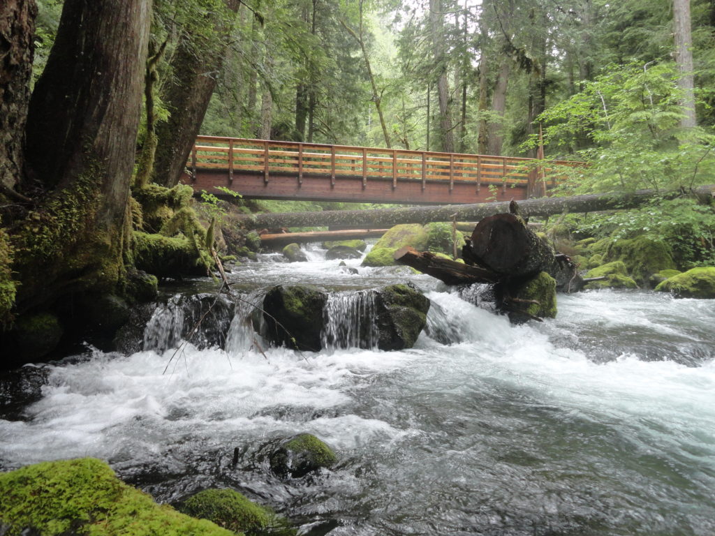
Quick Facts: Location: Olympic National Forest, Hood Canal District Land Agency: National Forest Service Roundtrip: To Camp Jolly 10.2 miles Green Trails Map: Olympic Mountains East 168SX Elevation Gain: 800 feet Contact: Hood Canal District, Quilcene Good to Know: kid-friendly, dog-friendly, open to mountain bikes, backpacking opportunities, old-growth, exceptional rhodies, Practice Leave No Trace Principles Access: From…
Read MoreOzette Triangle–Classic Olympic Coast Hike packed with surprises
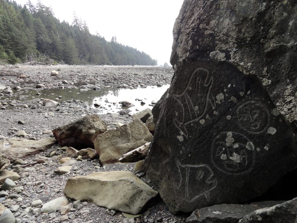
Quick Facts: Location: Olympic Coast Land Agency: Olympic National Park Roundtrip: 9.4 miles Elevation Gain: 400 feet Notes: National Park entry fee; dogs prohibited; coastal section can be difficult during high tides. Green Trails Map: Olympic Coast 99S Contact: Olympic National Park Access: From Port Angeles, follow US 101 west for 5 miles to SR 112. Continue on…
Read MoreJay Lake — Solitude and camping at Wallace Falls State Park

Quick Facts: Location: Skykomish River Valley, US 2 Land Agency: Washington State Parks Roundtrip: 11.5 miles Elevation gain: 1,575 feet Green Trails Map: Contact: Wallace Falls State Park Notes: Discover Pass required; Dogs must be leashed; Camping requires a permit-attain from park prior to trip. Access: From Everett, follow US 2 for 28 miles east…
Read MoreWhite Pass–Sprawling meadows and stupendous views high on the Cascade Crest
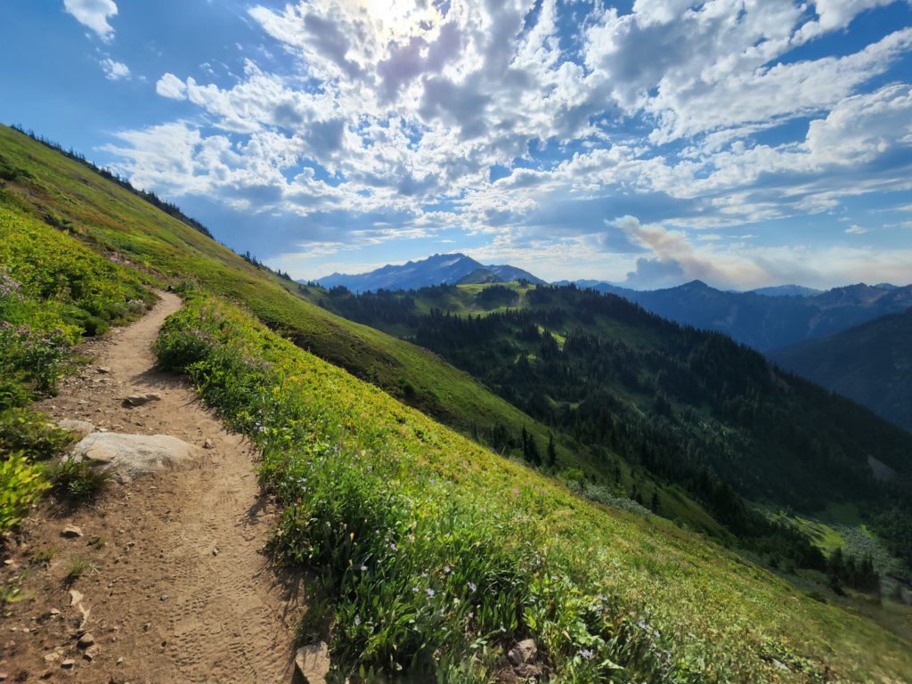
Location: North Fork Sauk River Land Agency: Mount Baker-Snoqualmie National Forest Roundtrip: 19.4 miles High Point: 5,850 feet Elevation gain: 4,000 feet Difficulty: strenuous Green Trails Maps: Mountain Loop Highway 111SX Contact: Darrington Ranger District: Mount Baker-Snoqualmie National Forest Note: Northwest Forest Pass or Interagency Pass Required Access: From Darrington, travel south on the Mountain…
Read MoreHorse Creek Trail–Trot through towering coastal old-growth forest
Quick Facts: Location: Drift Creek Wilderness, Siuslaw National Forest Land Agency: National Forest Service Roundtrip: 7.2 miles Map: Online from Forest Service Elevation gain: 1,400 feet Difficulty: moderate Contact: Central Coast Ranger District (Waldport), Siuslaw National Forest Notes: Drift Creek Wilderness is south of Newport. Do not confuse with popular Drift Creek Falls near Lincoln…
Read More