Posts Tagged ‘hiking Snohomish county’
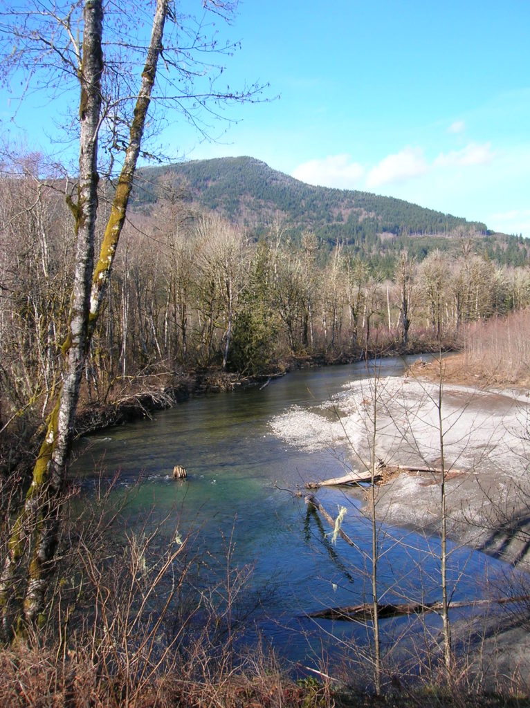
Robe Canyon─Follow a silenced railroad into a thundering chasm
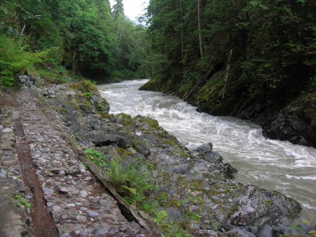
Quick Facts: Location: Mountain Loop Highway near Granite Falls Land Agency: Snohomish County Parks Roundtrip: 2.4 miles Elevation Gain: 300 feet Green trails Map: Mountain Loop Highway 111SX Access: From Granite Falls follow the Mountain Loop Highway east for 7.0 miles to trailhead located on your right, directly across from Forest Road 41. Park on…
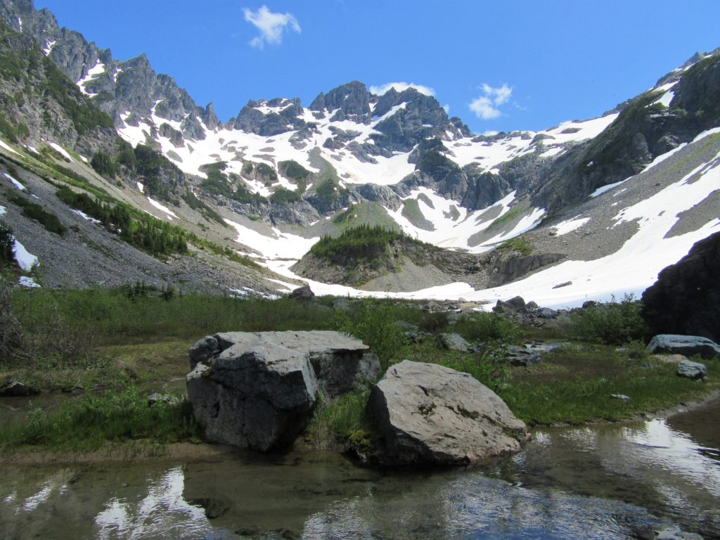
Read MoreHuckleberry Mountain — Savor solitude high above the Suiattle River
Quick Facts: Location: Suiattle River Valley Land Agency: National Forest Service Roundtrip: 12.6 miles Elevation Gain: 4500 feet Contact: Darrington Ranger District: Mount Baker Snoqualmie National Forest Green Trails Map: Mountain Loop Highway Map 111SX Notes: Glacier Peak Wilderness-wilderness rules apply; Practice Leave No Trace Principles Access: From Darrington travel north on SR 530 turning right…
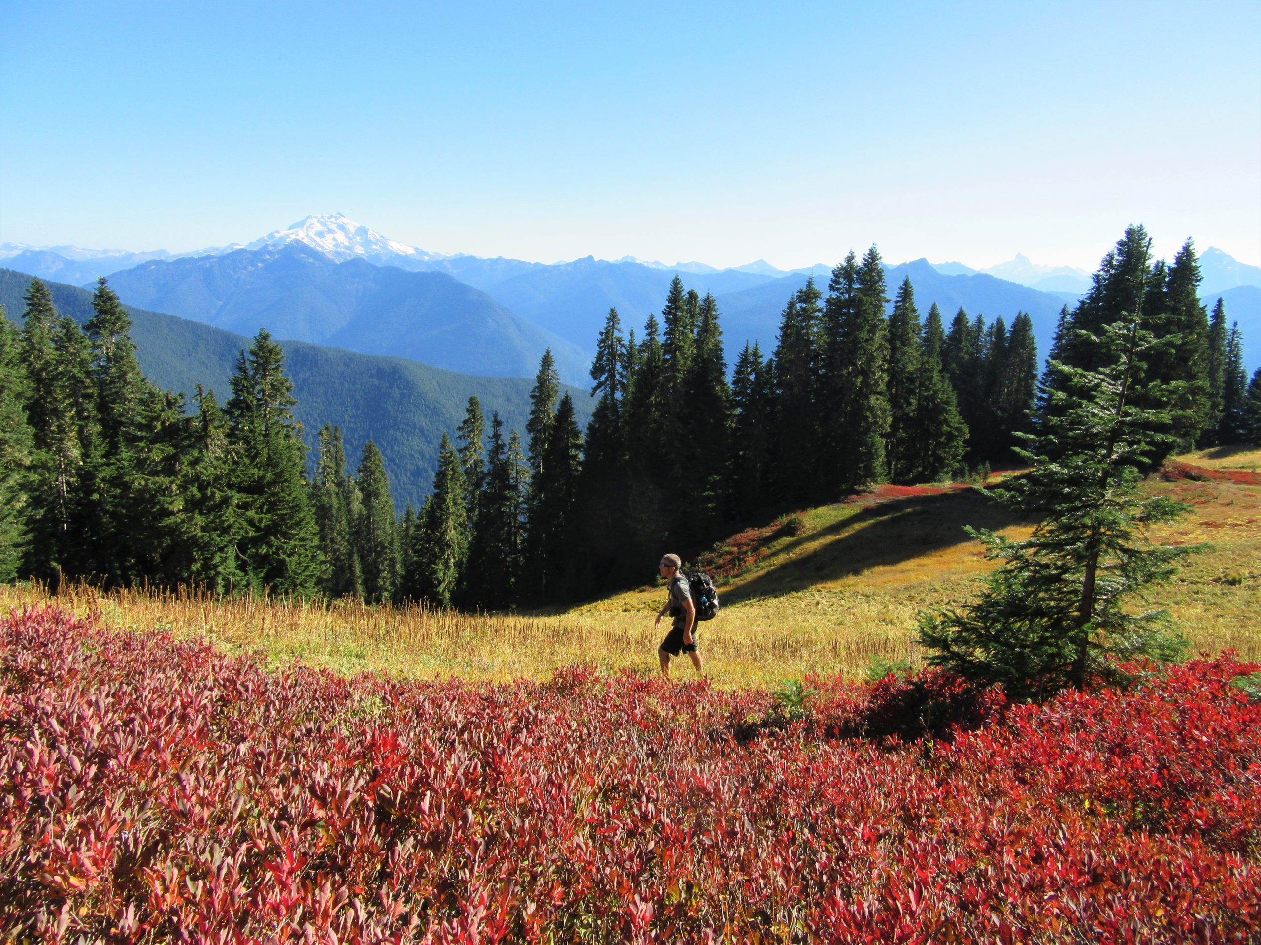
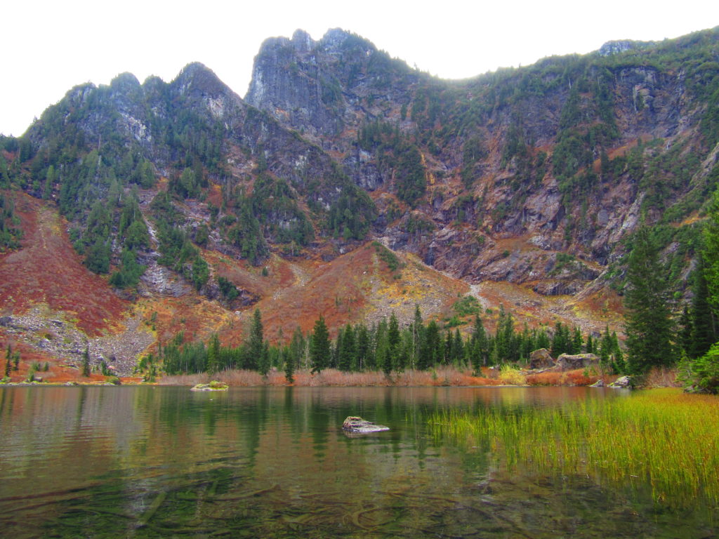
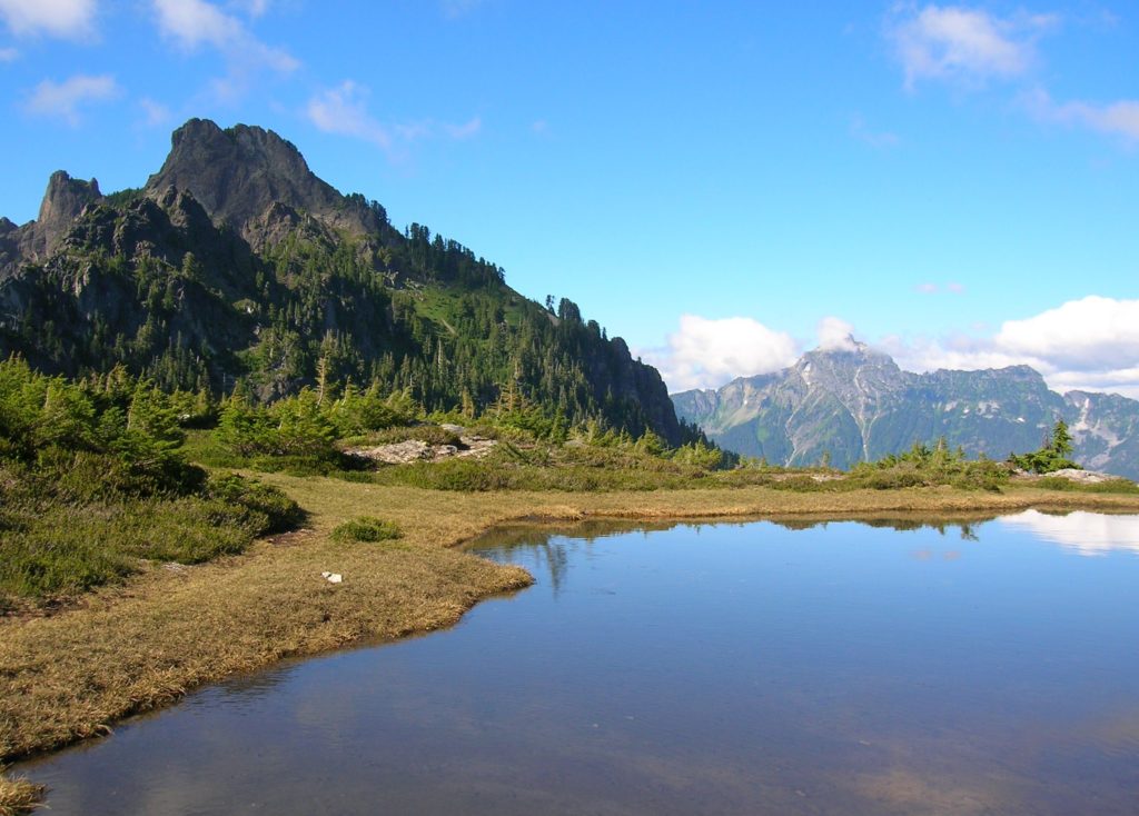
Read MoreRound Lake — Find solitude on Lost Creek Ridge

Quick Facts: Location: Mountain Loop Highway near Darrington Land Agency: Mount Baker-Snoqualmie National Forest Roundtrip: 9.8 miles Elevation gain: 4300 feet Difficulty: strenuous Green Trails Map: Mountain Loop Highway 111SX Contact: Darrington Ranger District; Mount Baker-Snoqualmie National Forest Access: From Darrington follow the Mountain Loop Highway for 16 miles to a junction with Forest Road 49. Turn…
Read MoreGlacier Basin─Strike it rich with great views on this tough hike
Quick Facts: Location: Mountain Loop Highway near Barlow Pass Land Agency: Mount Baker-Snoqualmie National Forest Roundtrip: 12.4 miles Elevation Gain: 2,300 feet Green Trails Map: Mountain Loop Highway 111SX Access: From Granite Falls follow the Mountain Loop Highway east for 30 miles to Barlow Pass. Hike begins by walking up gated Monte Cristo Road. Note: Northwest Forest…
Read MoreEagle Lake—Tough hike to a raptor’s delight
Quick Facts: Location: Wild Sky Wilderness, Skykomish River Valley Land Agency: National Forest Service Roundtrip: 8.6 miles Elevation Gain: 1,750 feet Green Trails Map: Alpine Lakes West 176S Contact: Skykomish Ranger District: Mount Baker-Snoqualmie National Forest Notes: Northwest Forest Pass or Interagency Pass required. Access: From Everett, head east 41 miles on US 2 to Baring.…
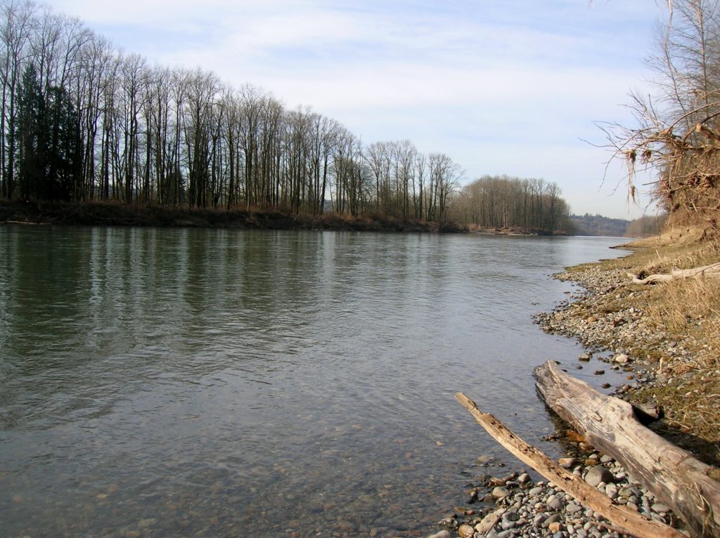
Read MoreWhitehorse Trail East–Hike along the North Fork Stilly
Quick Facts: Location: SR 530 Darrington Land Agency: Snohomish County Parks Roundtrip: 14 miles Elevation gain: 160 feet Difficulty: Easy Contact: Snohomish County Parks Green Trails Map: Mountain Loop Highway no. 111SX Recommended Guidebook: Day Hiking North Cascades (Mountaineers Books) Notes: Dogs allowed on leash Access: Take exit 208 off of I-5 and drive 25 miles east…
Read MoreRiver Trail–Big maples and hidden Snohomish riverfront at Lord Hill
Quick Facts: Location: Snohomish Valley Land Agency: Snohomish County Parks Roundtrip: 5.2 miles Elevation gain: 650 feet Contact: Snohomish County Parks Map: Snohomish County Parks Notes: Dogs permitted on leash Good to know: Dog-friendly, kid-friendly, snow-free winter hike, good trail running Access: From Everett follow US 2 to SR 9. Head south on SR 9 and exit…
Read MoreHeybrook Ridge–From the town of Index to stunning views of Mount Index
Quick Facts: Location: Skykomish Valley Land Agency: Snohomish County Parks Roundtrip: 3.4 miles Elevation Gain: 780 feet Contact: Friends of Heybrook Ridge Map: Green Trails, Alpine Lakes West Stevens Pass no. 176S Notes: Dogs allowed on leash Access: From Everett follow US 2 east for 35 miles turning left onto the Index Galena Road (just…
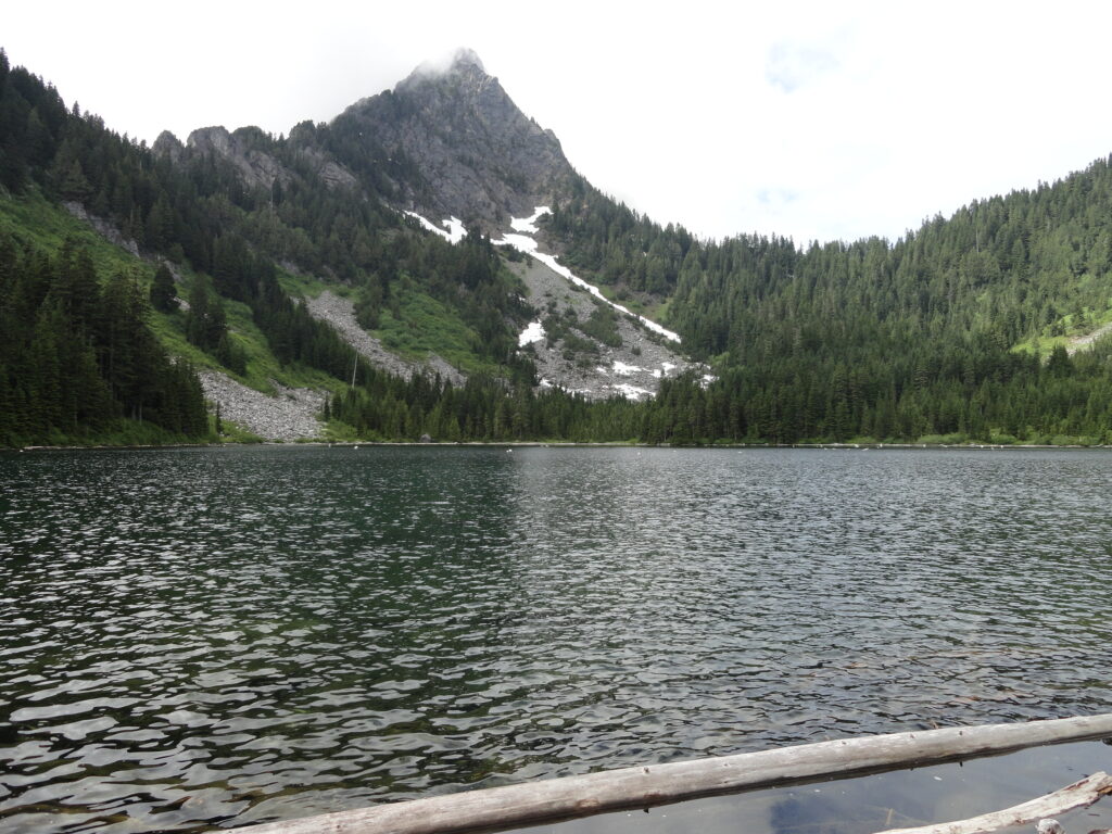
Read MoreHeather Lake — placid lake in a rugged cirque
Quick Facts: Location: Mountain Loop Highway near Granite Falls Land Agency: Mount Baker-Snoqualmie National Forest Roundtrip: 5.0 miles Elevation gain: 1,100 feet Difficulty: moderate Green Trails Map: Mountain Loop Highway Special Series 111SX Contact: Darrington Ranger District: Mount Baker-Snoqualmie National Forest Access: From Granite Falls, follow the Mountain Loop Highway east. One mile beyond the Verlot Visitors…
Read MorePerry Creek─Old growth, a cascade, sublime views to rugged peaks
Quick Facts: Location: Mountain Loop Highway Land Agency: National Forest Service Roundtrip: 11.4 miles Elevation Gain: 3.500 feet Green Trails Map: Mountain Loop Highway 111SX Recommended Guidebook: Day Hiking North Cascades 2nd edition (Mountaineers Books) Contact: Darrington Ranger District: Mount Baker-Snoqualmie National Forest Access: From Granite Falls follow the Mountain Loop Highway east for 27 miles…
Read More