Posts Tagged ‘hiking Snohomish county’
Heybrook Ridge–From the town of Index to stunning views of Mount Index
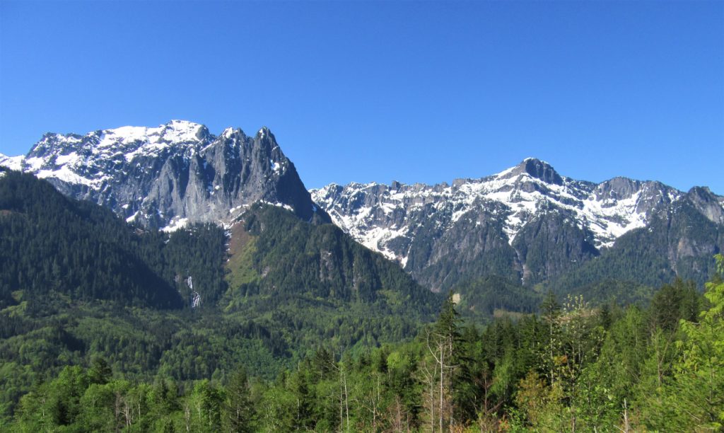
Quick Facts: Location: Skykomish Valley Land Agency: Snohomish County Parks Roundtrip: 3.4 miles Elevation Gain: 780 feet Contact: Friends of Heybrook Ridge Map: Green Trails, Alpine Lakes West Stevens Pass no. 176S Notes: Dogs allowed on leash Access: From Everett follow US 2 east for 35 miles turning left onto the Index Galena Road (just…
Read MoreHeather Lake — placid lake in a rugged cirque
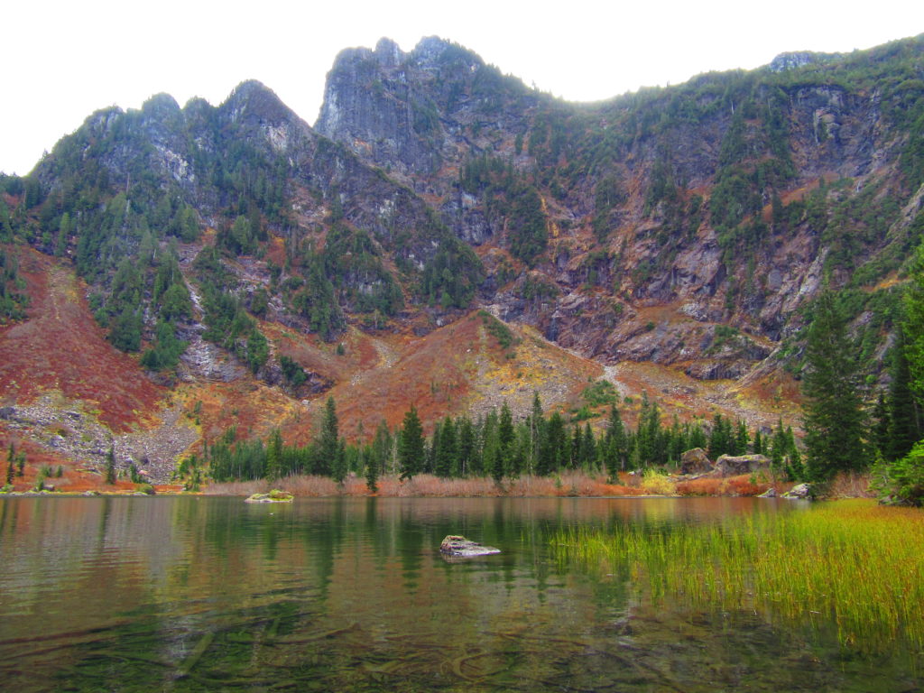
Quick Facts: Location: Mountain Loop Highway near Granite Falls Land Agency: Mount Baker-Snoqualmie National Forest Roundtrip: 5.0 miles Elevation gain: 1,100 feet Difficulty: moderate Green Trails Map: Mountain Loop Highway Special Series 111SX Contact: Darrington Ranger District: Mount Baker-Snoqualmie National Forest Access: From Granite Falls, follow the Mountain Loop Highway east. One mile beyond the Verlot Visitors…
Read MorePerry Creek─Old growth, a cascade, sublime views to rugged peaks
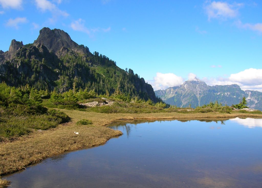
Quick Facts: Location: Mountain Loop Highway Land Agency: National Forest Service Roundtrip: 11.4 miles Elevation Gain: 3.500 feet Green Trails Map: Mountain Loop Highway 111SX Recommended Guidebook: Day Hiking North Cascades 2nd edition (Mountaineers Books) Contact: Darrington Ranger District: Mount Baker-Snoqualmie National Forest Access: From Granite Falls follow the Mountain Loop Highway east for 27 miles…
Read MoreBarclay Lake–placid lake at the base of awe-inspiring Baring Mountain
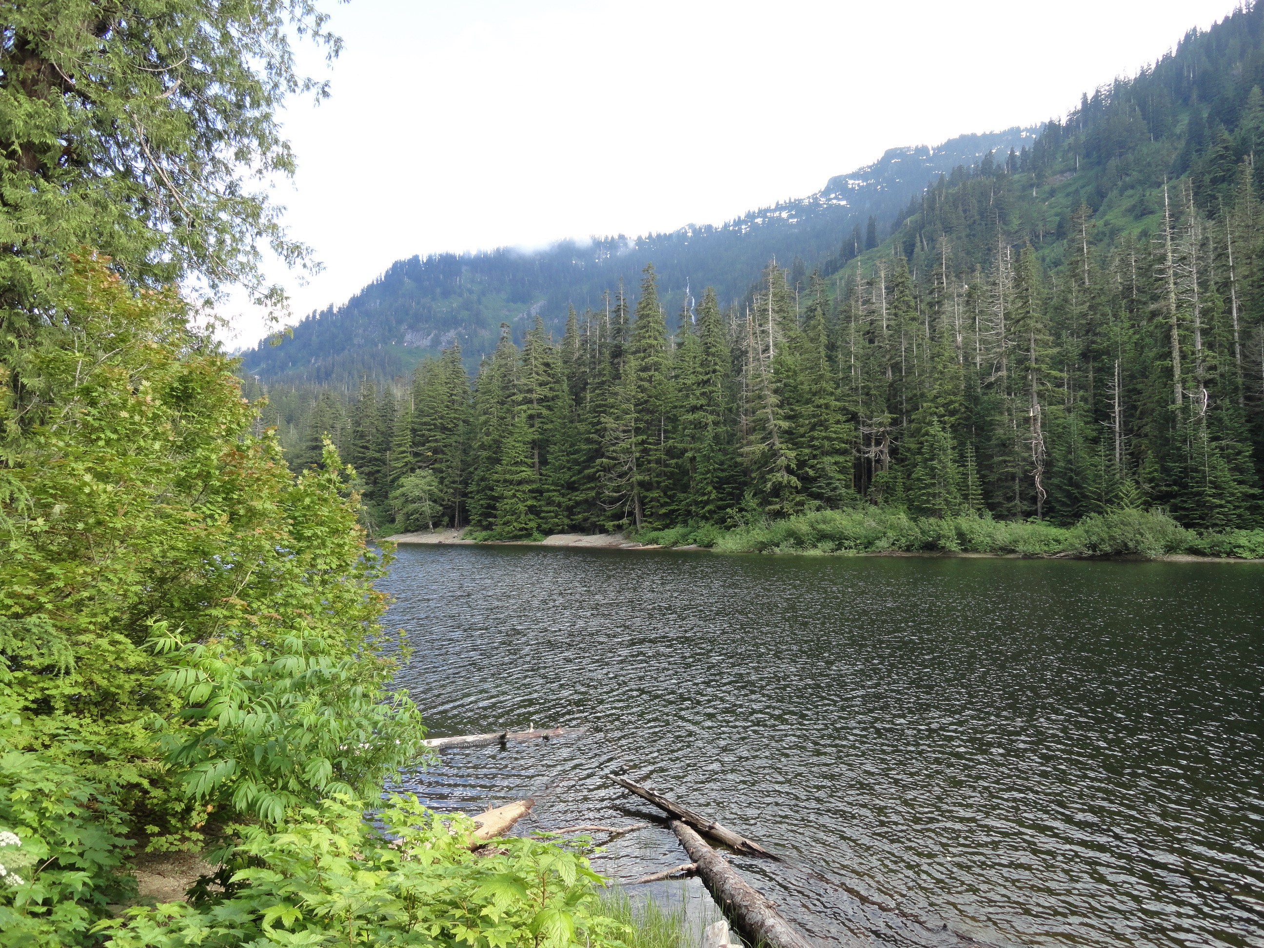
Quick Facts: Location: Skykomish River Valley Land Agency: National Forest Service Roundtrip: 4.4 miles Elevation Gain: 225 feet Green Trails Map: Alpine Lakes Stevens Pass Map 176S Contact: Skykomish Ranger District: Mount Baker -Snoqualmie National Forest Recommended Guidebook: Day Hiking Central Cascades 2nd edition (Mountaineers Books) Special Note: Northwest Forest Pass required. Access: From Everett, head 40 miles east on US 2 to…
Read MoreWallace Lake—Tranquil waters above thundering falls
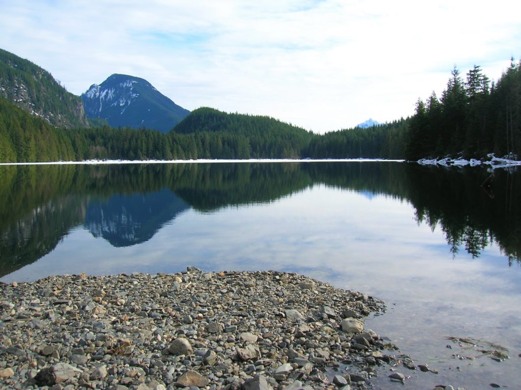
Quick Facts: Location: Skykomish River Valley Land Agency: Washington State Parks Roundtrip: 8.2 miles Elevation Gain: 1,500 feet Green trails Map: Index, WA-No. 142 Access: From Everett follow US 2 for 28 miles east to Gold Bar. Just before Milepost 28 turn left onto 1st Street (signed for Wallace Falls State Park). Proceed for .4…
Read MoreHeybrook Lookout—Snowline prober above the Forks of the Wild Sky
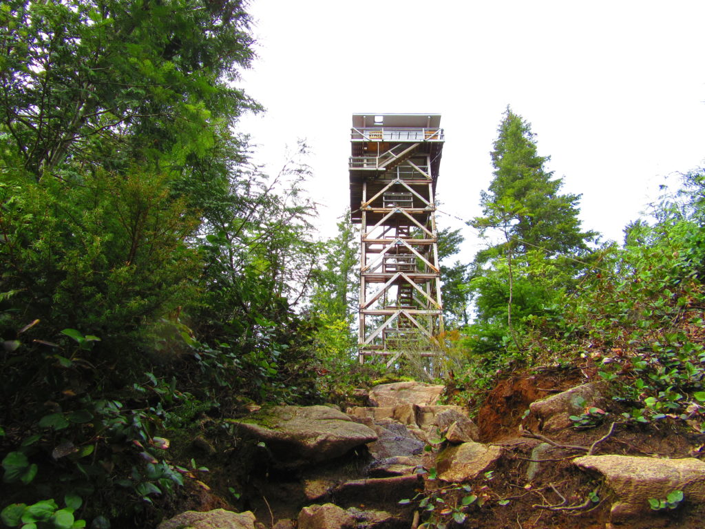
Quick Facts: Location: Near Index, Skykomish Valley Land Agency: Mount Baker-Snoqualmie National Forest Roundtrip: 2.6 miles Elevation Gain: 850 feet Access: From Everett follow US 2 east for 37 miles to trailhead located on north side of highway just after entering Mount Baker-Snoqualmie National Forest. Green Trails Map: Alpine Lakes Stevens Pass 176S Recommended Guidebook:…
Read MoreBridal Veil Falls — Visit after heavy rains for a bridal shower!

Quick Facts: Location: US 2 near Index, Land Agency: Mount Baker-Snoqualmie National Forest Roundtrip: 4.4 miles Elevation gain: 850 feet Green Trails Maps: Green Trails, Alpine Lakes Stevens Pass 176S Contact: Skykomish Ranger District: Mount Baker -Snoqualmie National Forest Notes: NW Forest Pass or Interagency Pass required Access: From Everett follow US 2 east for…
Read MoreGreen Mountain –Banal is thy name—Breathtakingly beautiful is thy game
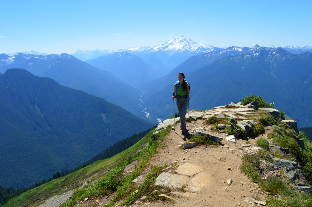
Quick Facts: Location: Glacier Peak Wilderness, Suiattle River Road Land Agency: Mount Baker-Snoqualmie National Forest Roundtrip: 8.0 miles Elevation gain: 3,100 feet Green Trails Maps: North Cascades Ross Lake 16SX Contact: Darrington Ranger District: Mount Baker-Snoqualmie National Forest Notes: wilderness rules apply Access: From Darrington, travel north on SR 530 for 7.5 miles turning right…
Read MoreMarten Creek─Overlooked trail off the Mountain Loop Highway offers plenty of solitude
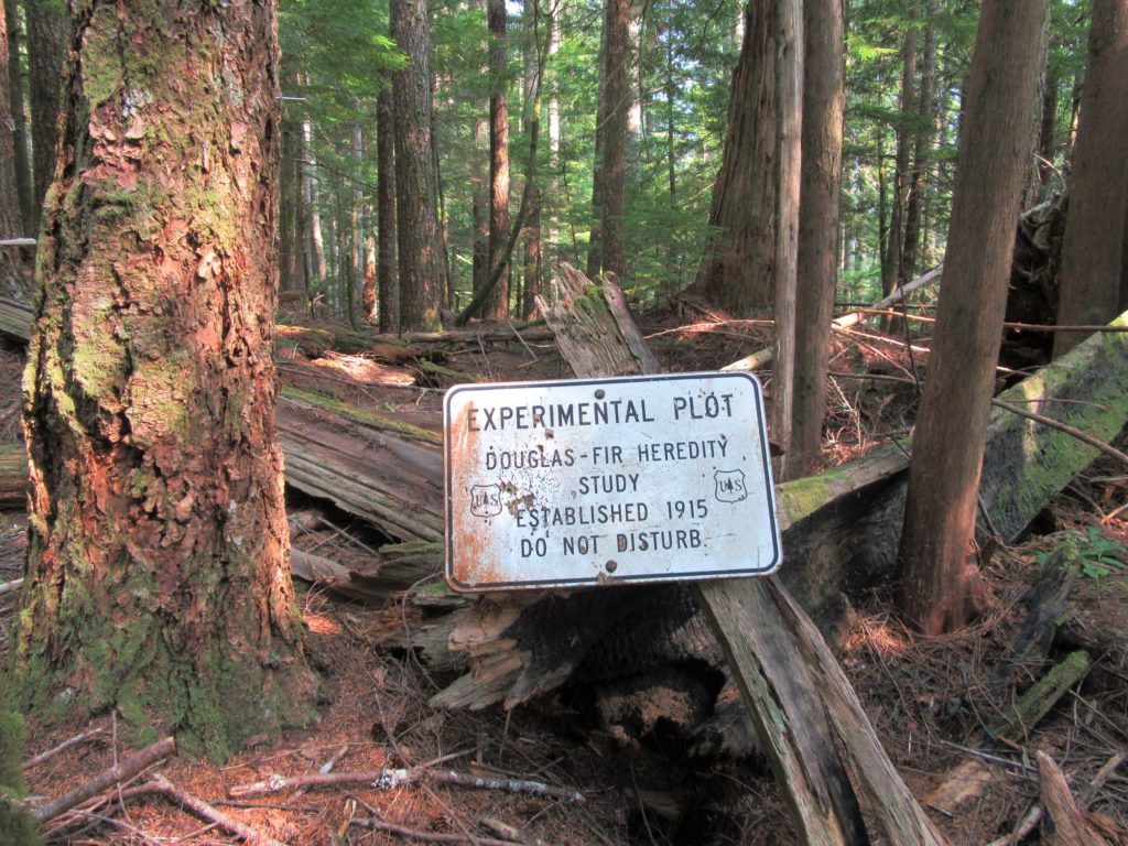
Quick Facts Location: Boulder River Wilderness, Mountain Loop Highway near Granite Falls Land Agency: Mount Baker-Snoqualmie National Forest Roundtrip: 5.2 miles Elevation Gain: 1,300 feet Green Trails Map: Mountain Loop Highway WA- No. 111SX Recommended Guidebook: Day Hiking North Cascades 2nd edition (Mountaineers Books) Access: From Granite Falls follow the Mountain Loop Highway east for…
Read MoreOsprey Trails — Saunter through wildlife habitat along the Sultan River
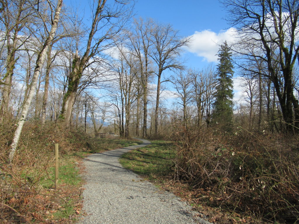
Quick Facts: Location: Sultan, Snohomish County Land Agency: City of Sultan Roundtrip: 2.0 miles Elevation Gain: level Access: From Everett, follow US 2 east to Sultan. Turn left onto 3rd Street and drive 0.6 mile north. Then turn left onto High Street and continue 0.1 mile to Osprey Park. Contact: City of Sultan Notes: Dogs permitted on leash Good to…
Read More