Posts Tagged ‘hiking Snohomish county’
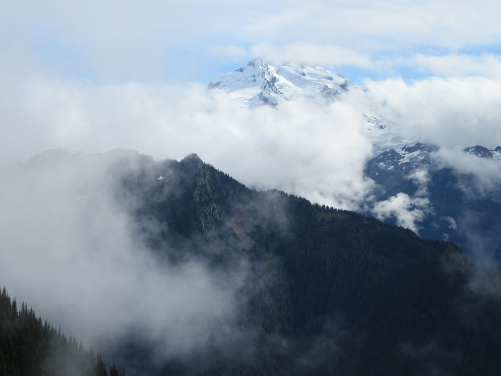
Dishpan Gap—Crimson carpets at the headwaters of the Sky!
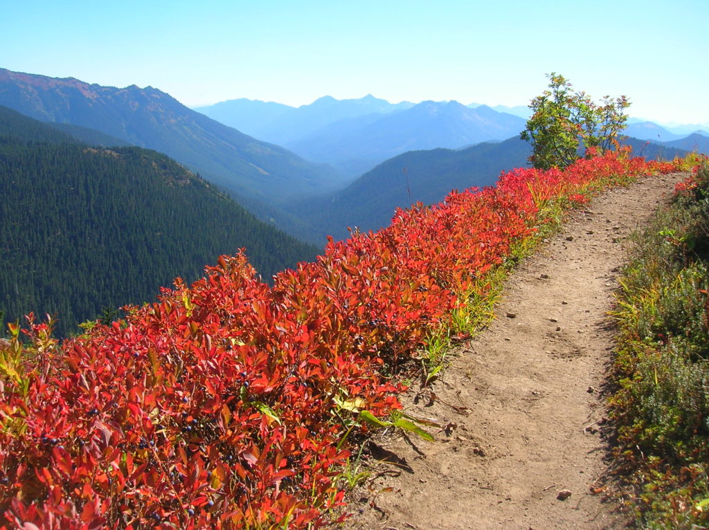
Quick Facts: Location: North Fork Skykomish River Valley Land Agency: Mount Baker-Snoqualmie National Forest Roundtrip: 17.4 miles Elevation Gain: 3,100 feet Contact: Skykomish Ranger District: Mount Baker-Snoqualmie National Forest Green Trails Map: Monte Cristo- No. 143, Benchmark Mtn- No. 144 Special Note: Northwest Forest Pass or Interagency Pass required; wilderness rules apply Access: From Everett…
Read MoreRed Pass─High Portal to Glacier Peak
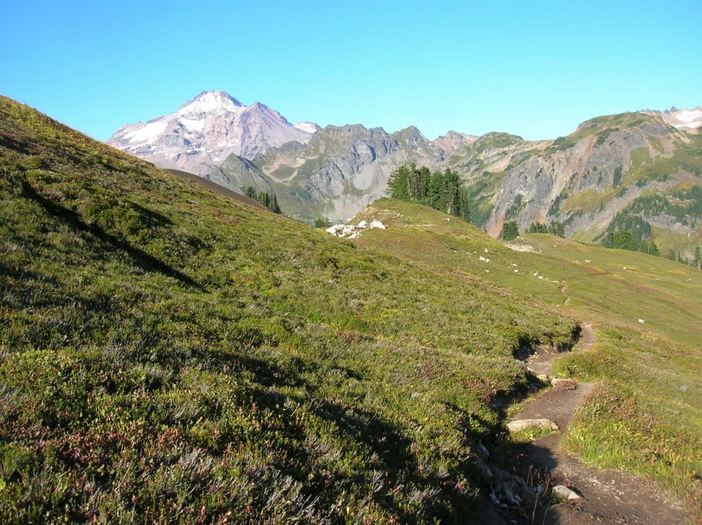
Quick Facts: Location: North Fork Sauk River Land Agency: Mount Baker-Snoqualmie National Forest Roundtrip: 20.6 miles Elevation Gain: 4,300 feet Contact: Darrington Ranger District: Mount Baker Snoqualmie National Forest (360) 436-1155; www.fs.fed.us/r6/mbs Green Trails Map: Mountain Loop Highway 111SX Special Note: Northwest Trail Pass required. Access: From Darrington, travel south on the Mountain Loop Highway…
Read MoreCrystal Lake─ a trail less taken if you take the old way
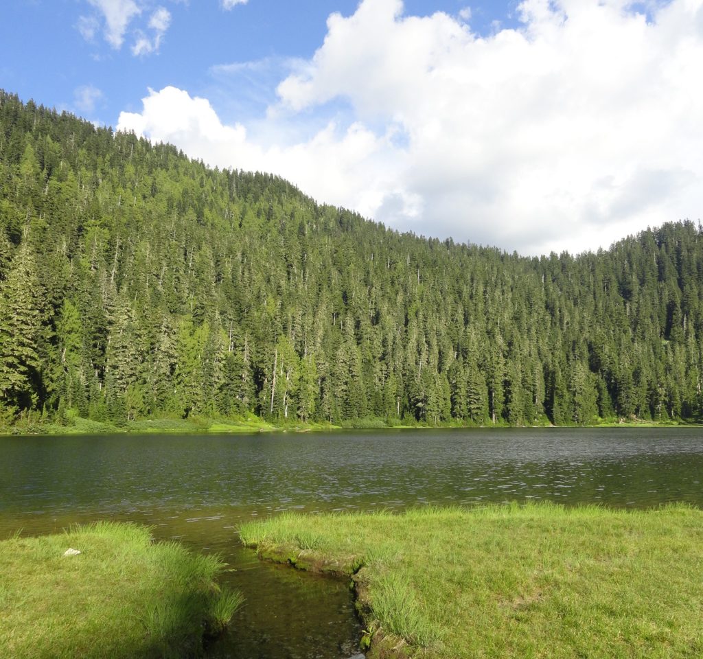
Quick Facts: Location: White Chuck River Valley, Mountain Loop Highway Land Agency: National Forest Service Roundtrip: 9.0 miles Elevation Gain: 2,150 feet Green Trails Map: Mountain Loop Highway 111SX Access: Take Exit 208 off of I-5 following SR 530 east for 32 miles to Darrington. Then head south on the Mountain Loop Highway proceeding 9.0…
Read MoreBig Gulch─ Explore Mukilteo’s deep ravines

Quick Facts: Location: Mukilteo Land Agency: Mukilteo Parks and Recreation Contact: Mukilteo Recreation Department Roundtrip: 4.0 miles Elevation Gain: 350 feet Access: From Everett follow SR 526 to SR 525. Turn left (south) on SR 525 and drive .5 mile to 92nd Street. Turn right and then immediately turn left into the 92nd Street Park parking area.…
Read MoreNorth Creek Park─Enjoy being “bogged” down for the holidays

Quick Facts: Location: Mill Creek Land Agency: Snohomish County Parks Roundtrip: 2.0 miles Elevation Gain: 30 feet Access: From I-5 Exit 183 follow 164th Street SE east to SR 527. Turn south and follow SR 527 to 183rd Street SE. Turn right (west) and proceed for a 0.5 mile to park entrance on right. Alternatively take…
Read MoreLime Kiln Trail─Hop onboard for an historic hike along the Stillaguamish River

Quick Facts: Location: Stillaguamish River Valley, Granite Falls Land Agency: Snohomish County Parks Roundtrip: 7.0 miles Elevation Gain: 600 feet Contact: Snohomish County Parks Green Trails Map: Mountain Loop Highway 111SX Notes: Dogs must be on leash; park open dawn to dusk. Access: Follow SR 92 east to Granite Falls. Turn right onto Granite Ave. Continue…
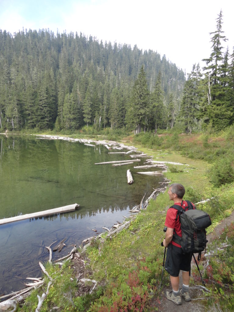
Read MoreFortune Ponds–Two little tranquil bodies of water deep within the Henry M. Jackson Wilderness
Quick Facts: Location: Beckler River Valley Land Agency: Mount Baker-Snoqualmie National Forest Service Roundtrip: 13.0 miles Elevation Gain: 2,700 feet Green Trails Map: Benchmark Mtn- No. 144 Recommended Guidebook: Day Hiking Central Cascades Access: From Everett head east on US 2 for 50 miles to Skykomish turning left onto the Beckler River Road (FR 65). Continue north for 6.9 miles…
Read MoreSulphur Mountain –Savor Sweet Suiattle Valley Views
Quick Facts: Location: Suiattle River Road Land Agency: Mount Baker-Snoqualmie National Forest Roundtrip: 10.0 miles Elevation gain: 4,600 feet Green Trails Maps: Mountain Loop Highway Map 111SX Contact: Darrington Ranger District: Mount Baker-Snoqualmie National Forest Notes: Northwest Forest Pass or interagency pass required Access: From Darrington, travel north on SR 530 for 7.5 miles turning…
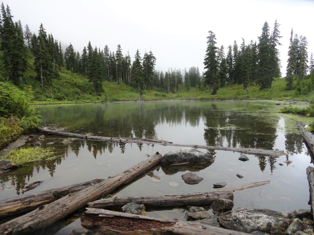
Read MoreMeadow Lake- serene subalpine lake above the Suiattle and White Chuck rivers
Quick Facts: Location: White Chuck River Valley, Mountain Loop Highway Land Agency: Mount Baker-Snoqualmie National Forest Service Roundtrip: 16.0 miles Elevation Gain: 2,900 feet Green Trails Map: Mountain Loop Highway 111SX Access: Take Exit 208 off of I-5 following SR 530 east for 32 miles to Darrington. Then head south on the Mountain Loop Highway proceeding 9.0…
Read MoreDowney Creek — portal to famous Ptarmigan Traverse

Quick Facts: Location: Suiattle River Road Land Agency: Mount Baker-Snoqualmie National Forest Roundtrip: 13.6 miles Elevation gain: 1500 feet Green Trails Maps: Mountain Loop Highway Map 111SX Contact: Darrington Ranger District: Mount Baker-Snoqualmie National Forest Notes: Northwest Forest Pass or interagency pass required Access: From Darrington travel north on SR 530 for 7.5 miles turning…
Read More