Posts Tagged ‘Historic’
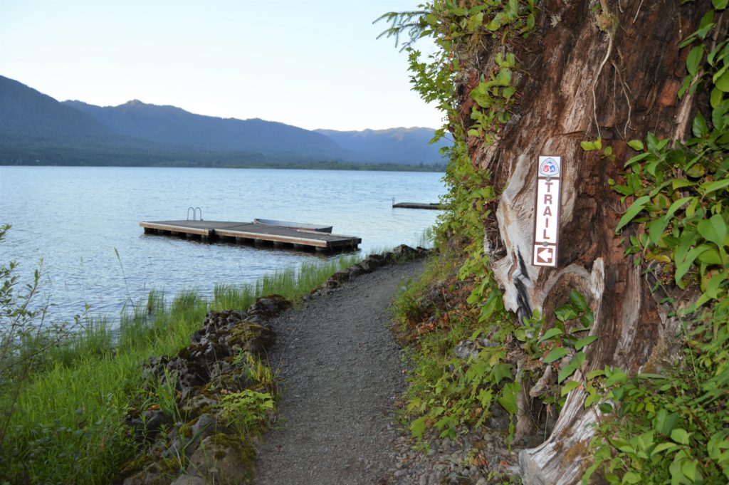
Twin Lakes (Monte Cristo) — Follow a rugged old miner’s path to a remote basin
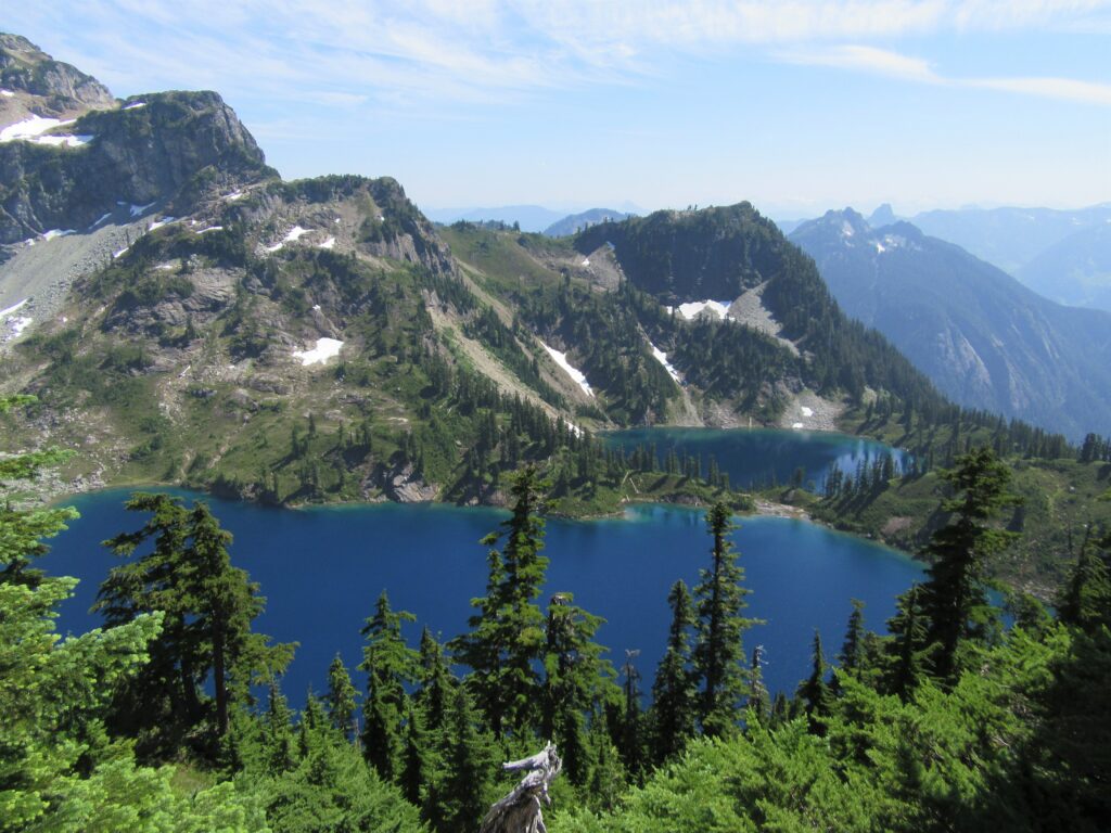
Quick Facts: Location: Mountain Loop Highway near Barlow Pass Land Agency: Mount Baker-Snoqualmie National Forest Roundtrip: 17.0 miles Elevation gain: 3,900 feet Green Trails Map: Mountain Loop Highway no. 111SX Contact: Darrington Ranger District: Mount Baker Snoqualmie National Forest Notes: Northwest Forest Pass or Interagency Pass required; A washout at the Twin Bridges requires…
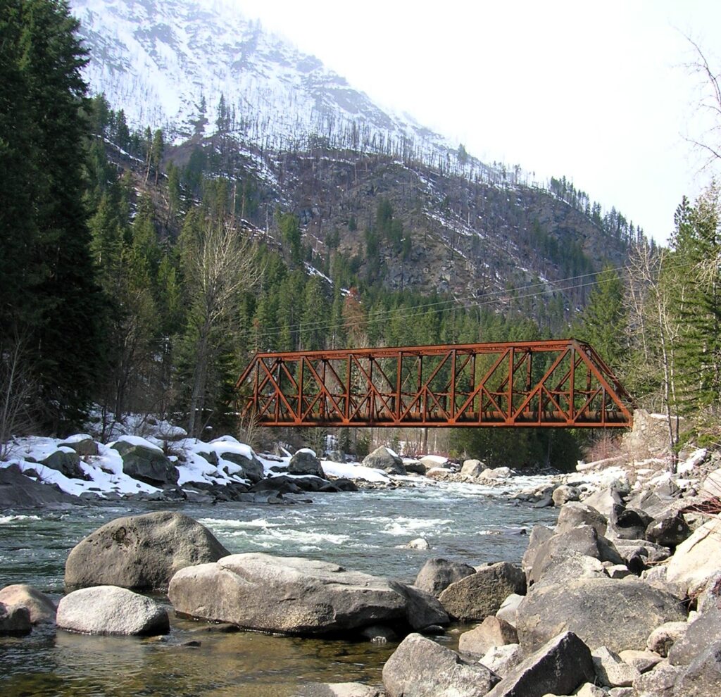
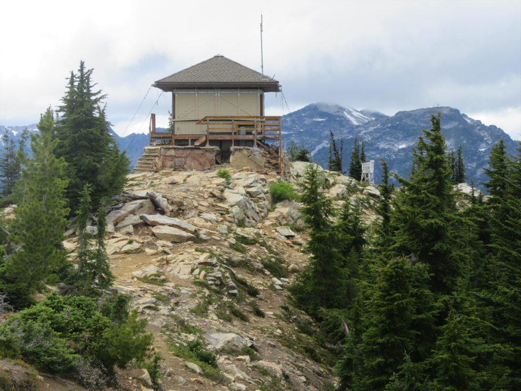
Read MoreSourdough Mountain Lookout–Trail is 5.5 miles long and one mile straight up!
Quick Facts: Location: North Cascades Highway Land Agency: North Cascades National Park Roundtrip: 11.0 miles Elevation Gain: 5,100 feet Green Trails Maps: Diablo, WA-No. 48 Access: From Marblemount, follow the North Cascades Highway (SR 20) east for 20 miles. Turn left onto Diablo Road and proceed 0.7 mile crossing an iron bridge spanning Stetattle Creek. Bear right reaching the trailhead in…
Read MoreNotch Pass–Hike through history over Quilcene Ridge
Location: Quilcene Valley, Northeast Olympic Peninsula Land Agency: National Forest Service Roundtrip: 8.4 miles Elevation gain: 2,800 feet Contact: Hood Canal Ranger District Olympic National Forest Guidebook: Day Hiking Olympic Peninsula 3rd Edition) Notes: Practice Leave No Trace Principles Access: From Quilcene drive US 101 south for 1.5 miles turning right onto Penny Creek Road. After 1.5…
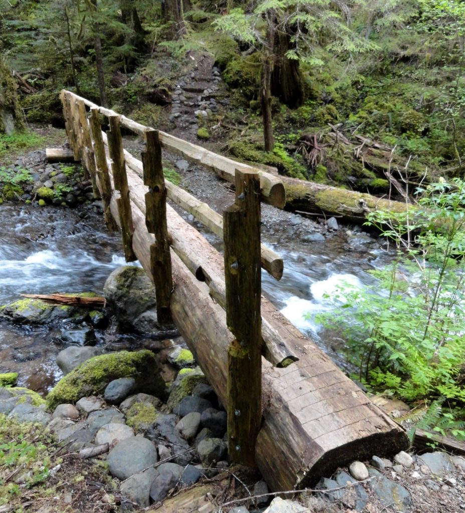
Read MoreTumwater Pipeline Trail—Hike along “strong water” watching rafters and rapids
Quick Facts: Location: Wenatchee River Valley Land Agency: Okanogan-Wenatchee National Forest Roundtrip: 2.4 miles Elevation Gain: 100 feet Green trails Map: Leavenworth- No. 178 Access: From Everett head east on US 2 passing Stevens Pass to Coles Corner. Continue east on US 2 for 12.7 miles to trailhead located on your right (between Mileposts 97…
Read MoreQuinault Rainforest Loop — Easily accessible trail system through an Olympic Rainforest
Quick Facts: Location: Lake Quinault Land Agency: Olympic National Forest Roundtrip: 3.9 miles Elevation Gain: 500 feet Contact: Olympic National Forest, Pacific Ranger District, Quinault Detailed Information: Day Hiking Olympic Peninsula 3rd edition (Mountaineers Books) Notes: Northwest Forest Pass or Interagency Pass required; dogs should on leash Access: From Hoquiam travel north on US 101 for 35 miles.…
Read MoreBalch Creek–Dramatic Ravine a Forest Park highlight
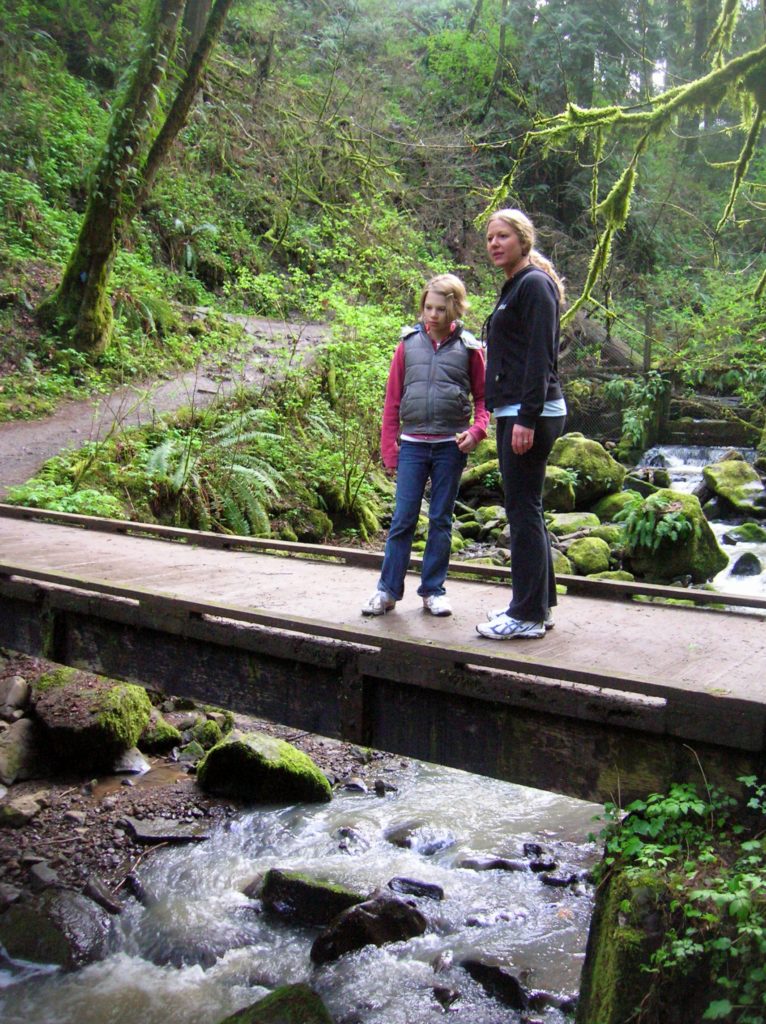
Location: Forest Park, Portland, Oregon Land Agency: Portland Parks and Recreation Roundtrip: 2.4 miles High Point: 425 feet Elevation gain: 300 feet Difficulty: easy Green Trails Map: Forest Park No 426S Contact: Contact/permits: Portland Parks and Recreation ; Forest Park Conservancy; Notes: dogs must be leashedAccess: From downtown Portland, follow NW Vaughn Street west turning…
Read MoreCheam Lake Wetlands–Birding hotspot where the North Cascades meet the Fraser River
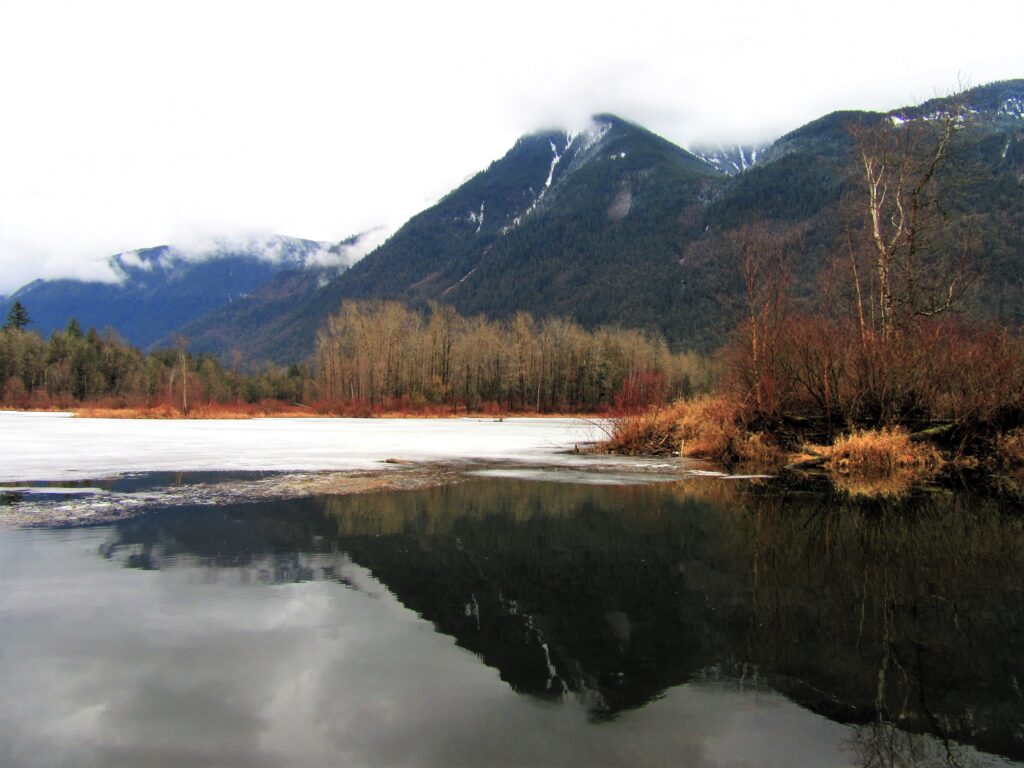
Quick Facts: Location: Popkum, Fraser Valley Regional District, BC Land Agency: Fraser Valley Regional Parks Round Trip: 2.5 miles (4.0 km) roundtrip Elevation Gain: minimal Contact: Fraser Valley Regional Parks Notes: Dogs prohibited Access: From Vancouver, BC follow Trans-Canada Highway 1 east to Exit 138 (12 miles /20 kilometers east of Chilliwack). Turn left and…
Read MoreAlpine Lookout –Wallow in good views and a chance to see a mountain goat or two
Quick Facts:Location: Stevens Pass-Lake Wenatchee regionLand Agency: Okanogan-Wenatchee National ForestRound Trip: 10.0 milesElevation Gain: 2,600 feetContact: Wenatchee River Ranger District (Leavenworth): Okanogan-Wenatchee National Forest Green Trails Map: Wenatchee Lake- No. 145Recommended Guidebook: Day Hiking Central Cascades 2nd editionNotes: NW Forest Pass or Interagency Pass Required.Several miles of trails on this hike are also open to mountain bikes…
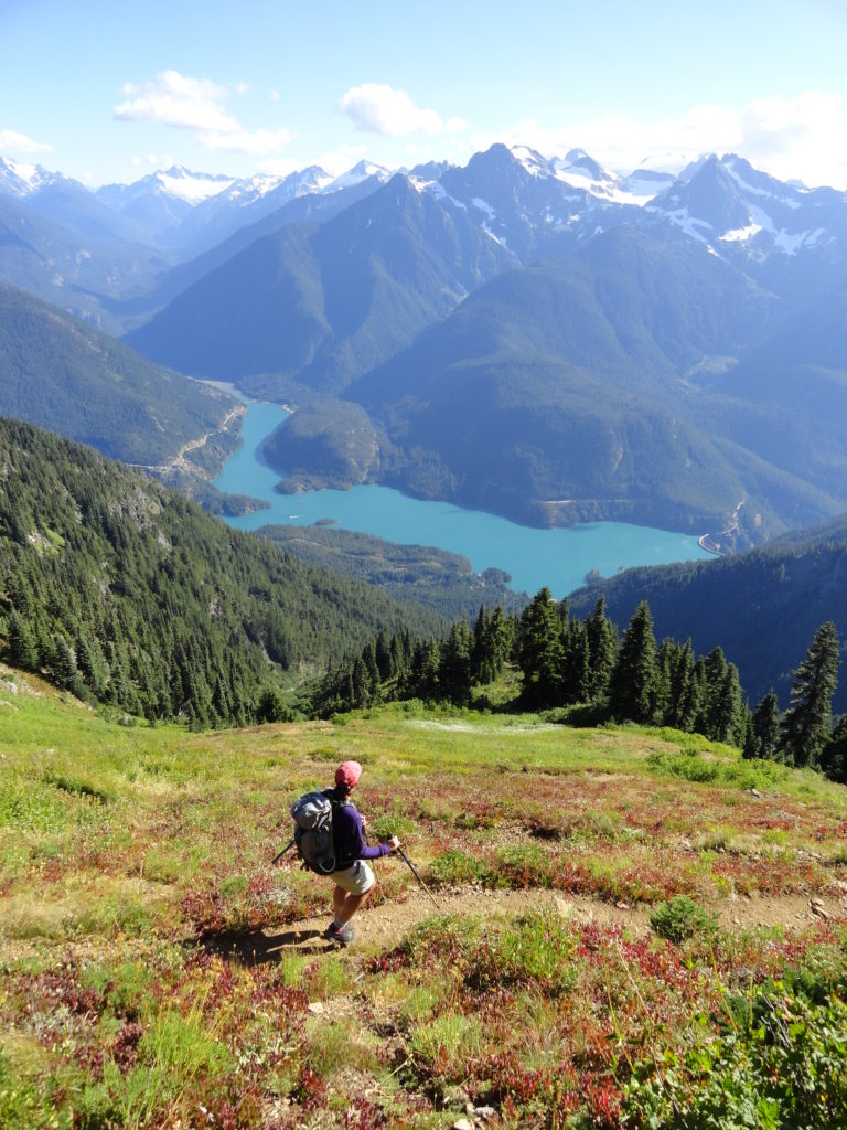
Read MoreDiablo Lake– Hell of a lake, but not a devil of a hike
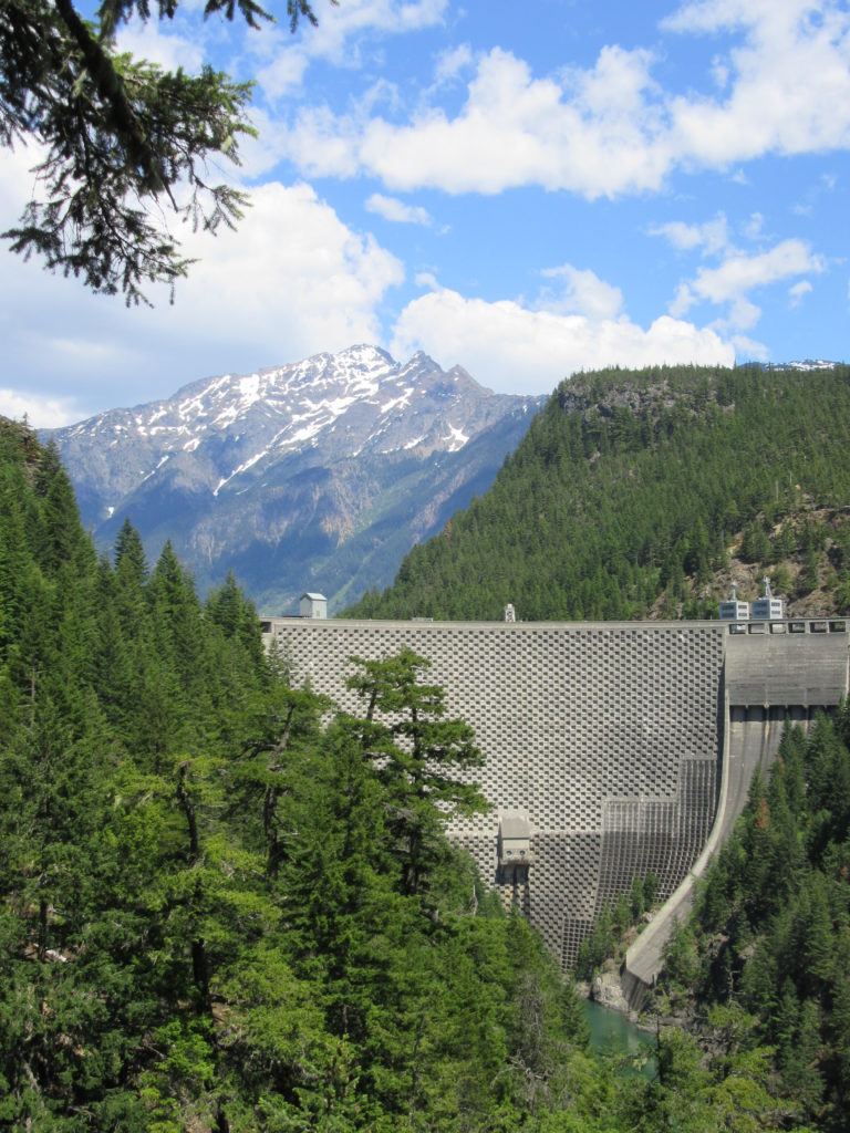
Quick Facts: Location: North Cascades Highway Land Agency: Ross Lake National Recreation Area Roundtrip: 7.6 miles Elevation Gain: 1400 feet Contact: North Cascades National Park Detailed Information: Day Hiking North Cascades 2nd edition (Mountaineers Books) Notes: Dogs must be leashed. Access road gated at 4:15 pm during winter Access: From Marblemount follow SR 20 east for 21.5 miles.…
Read MoreCedar Butte–Bad spelling on the summit and bad tidings at Christmas Lake below

Location: Snoqualmie Valley near North Bend Land Agency: Washington State Parks Roundtrip: 4.0 miles Elevation gain: 900 feet Green Trails Maps: Rattlesnake Mountain Upper Snoqualmie Valley No. 205S Contact: Washington State Parks (360) 902-8844 Notes: Discover Pass required; Dogs must be leashed Access: From Seattle take I-90 east to exit 32 in North Bend turning right (south)…
Read More