Posts Tagged ‘old-growth’
Independence Lake–A great place to celebrate the 4th of July and the Freedom of the Hills
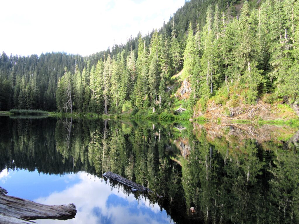
Quick Facts Location: Mountain Loop Highway near Granite Falls Land Agency: Mount Baker-Snoqualmie National Forest Roundtrip: 1.5 miles…
Read MorePinnacle Lake — Pretty little lake perched on a shoulder of Mount Pilchuck
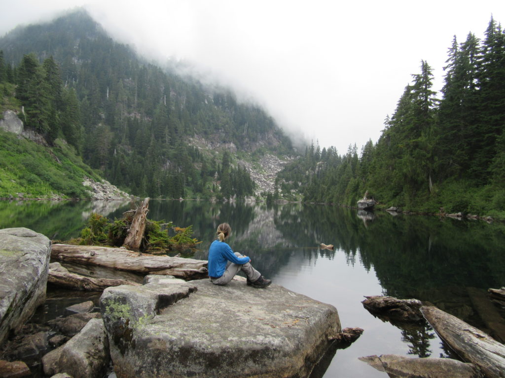
Quick Facts: Location: Mountain Loop Highway, near Granite Falls Land Agency: Mount Baker-Snoqualmie National Forest; Washington State Parks Roundtrip: 4.2 miles Elevation gain: 1,100 feet Green Trails Maps: Mountain Loop Highway 111SX Contact: Darrington Ranger District: Mount Baker-Snoqualmie National Forest Notes: access road is rough, high clearance vehicles recommended. Access: From Granite Falls follow the…
Read MoreLake Valhalla– No slain souls here-just renewed ones
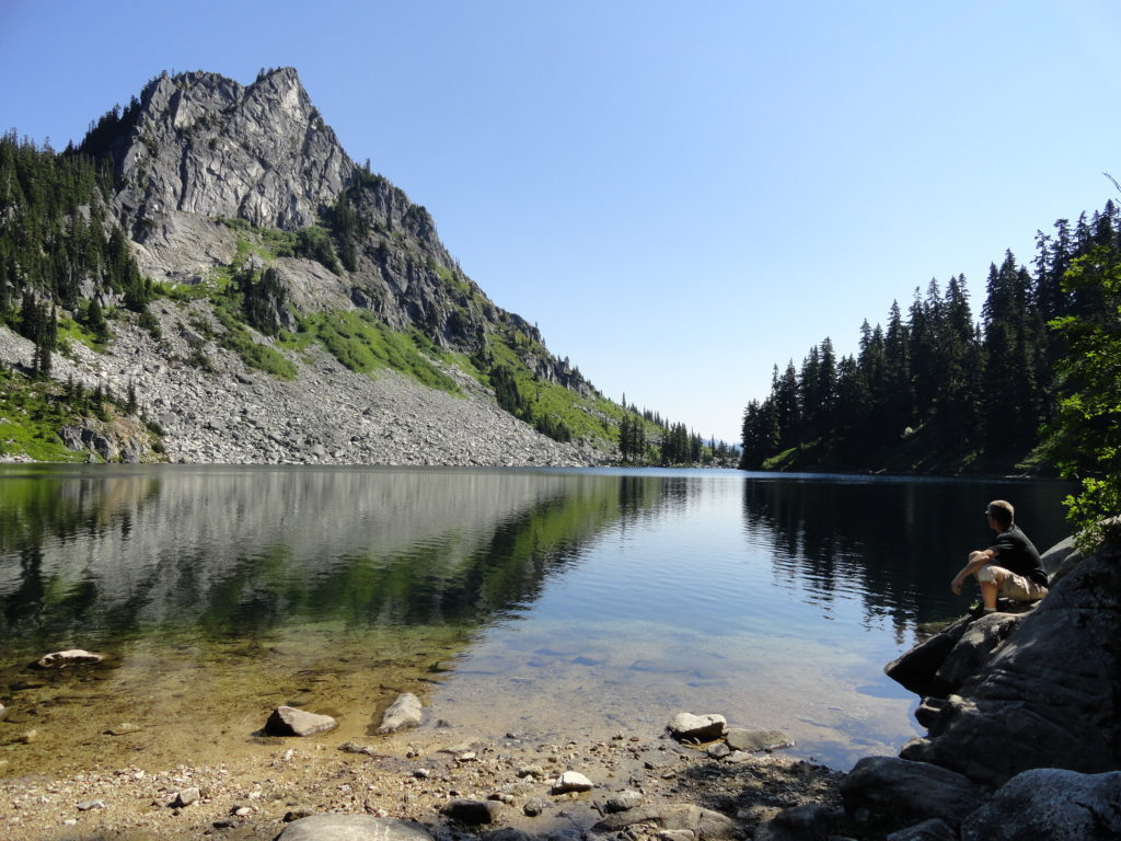
Quick Facts: Location: Henry M Jackson Wilderness, Stevens Pass area Land Agency: Okanogan-Wenatchee National Forest Roundtrip: 11.6 miles Elevation gain: 1,850 feet Difficulty: moderate Green Trails Map: Alpine Lakes-Stevens Pass No. 176S Contact: Wenatchee River Ranger District (Leavenworth): Okanogan-Wenatchee National Forest Access: From Everett, head east on US 2 for 65 miles to Stevens Pass.…
Read MoreSurprise and Glacier Lakes—A surprisingly nice pair of sub-alpine lakes near Stevens Pass
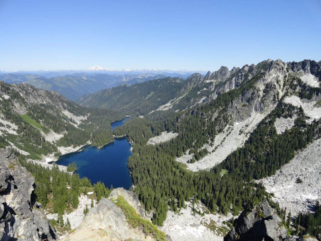
Quick Facts: Location: Stevens Pass area Land Agency: Mount Baker-Snoqualmie National Forest Roundtrip: 11.0 miles Elevation Gain: 2,800 feet Contact: Skykomish Ranger District: Mount Baker-Snoqualmie National Forest Notes: Northwest Forest Pass required; Dogs permitted on leash; Wilderness rules apply Access: From Everett follow US 2 east to Skykomish. Continue 10 more miles turning right (just after…
Read MoreDeer Lake– Wilderness lake above White Pass
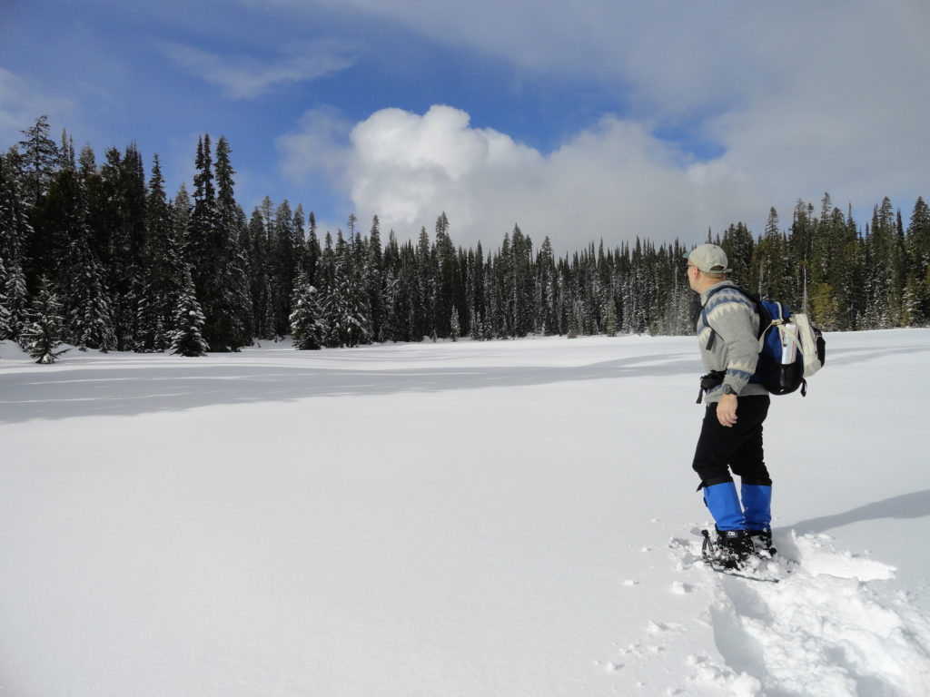
Location: William O. Douglas Wilderness, White Pass Land Agency: Okanogan-Wenatchee National Forest Roundtrip: 6.0 miles Elevation gain: 780 feet Green Trails Map: White Pass No. 303 Contact: White Pass Nordic Center Access: From Yakima or Morton follow US 12 to White Pass and proceed north to parking area near Yurt behind the Village Inn Condominiums.…
Read MoreHeart O' the Forest Trail─Peaceful path in the shadow of Hurricane Ridge
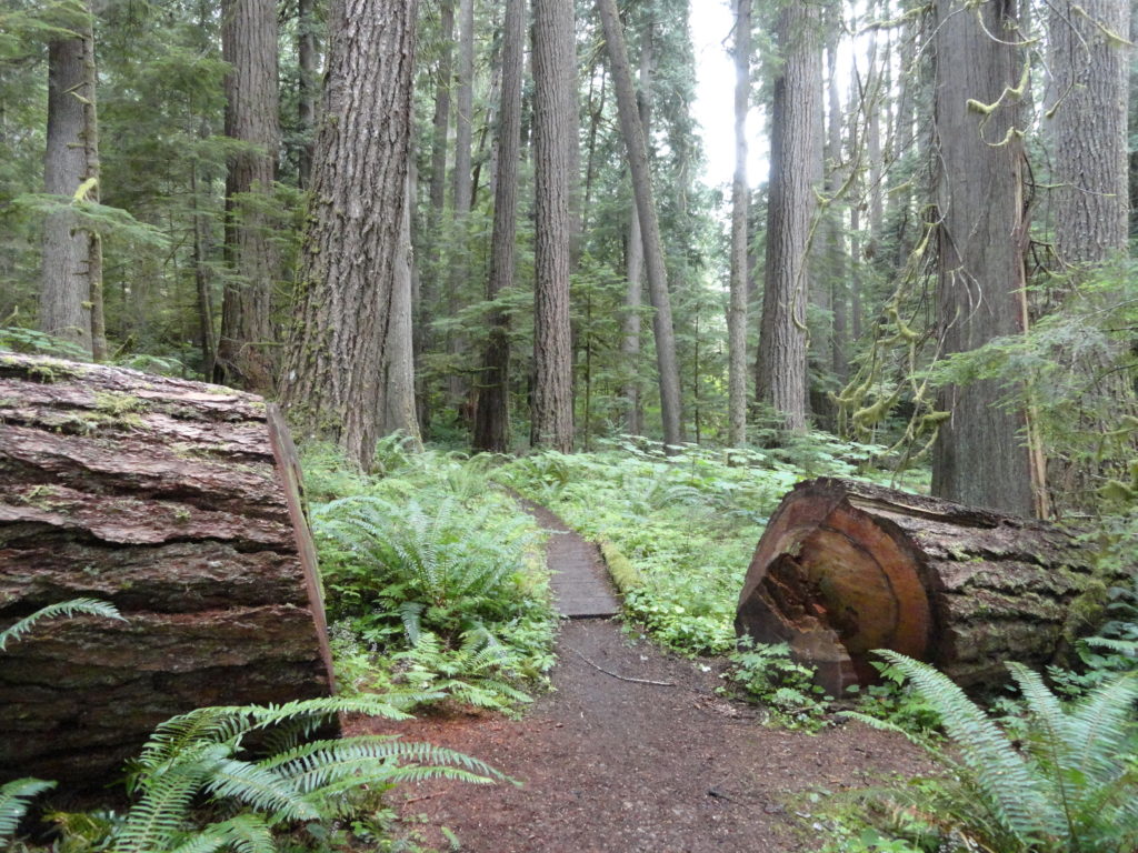
Quick Facts: Location: Heart O’ the Hills Campground Land Agency: Olympic National Park Roundtrip: 4.6 miles Elevation Gain: 550 feet Notes: Dogs prohibited, National Park Entry fee. Green Trails Map: Elwha North/ Hurricane Ridge No-134S Access: From Olympic National Park Visitors Center in Port Angeles, follow Hurricane Ridge Road (aka Heart O’ the Hills Parkway) south. Continue 5.4 miles turning left into…
Read MoreBlanca Lake– A strikingly beautiful lake set beneath a formidable wall of jagged peaks
Quick Facts: Location: Wild Sky and Henry Jackson Wildernesses, North Fork Skykomish River Valley Land Agency: Mount Baker-Snoqualmie National Forest Roundtrip: 8.4 miles Elevation gain: 3,300 feet Green Trails Map: Monte Cristo, WA- No. 143 Contact: Skykomish Ranger District: Mount Baker Snoqualmie National Forest Notes: Northwest Forest Pass or Interagency Pass required. No fires allowed…
Read MorePerry Creek─Old growth, a cascade, sublime views to rugged peaks
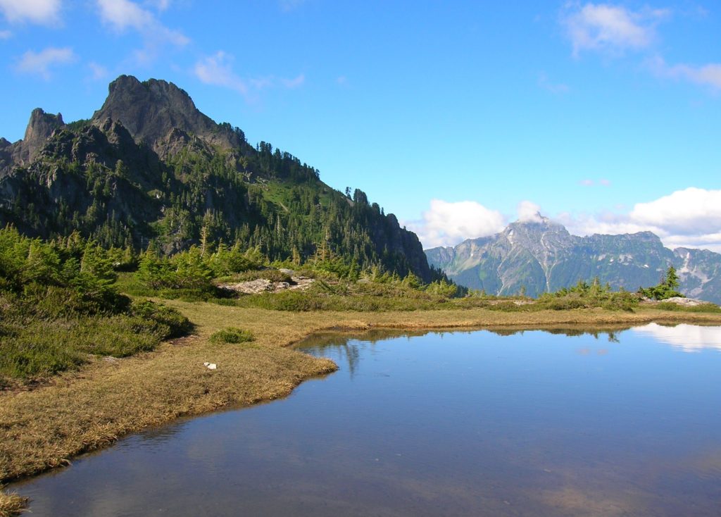
Quick Facts: Location: Mountain Loop Highway Land Agency: National Forest Service Roundtrip: 11.4 miles Elevation Gain: 3.500 feet Green Trails Map: Mountain Loop Highway 111SX Recommended Guidebook: Day Hiking North Cascades 2nd edition (Mountaineers Books) Contact: Darrington Ranger District: Mount Baker-Snoqualmie National Forest Access: From Granite Falls follow the Mountain Loop Highway east for 27 miles…
Read MorePyramid Lake–A puny lake, but monumental surrounding forest
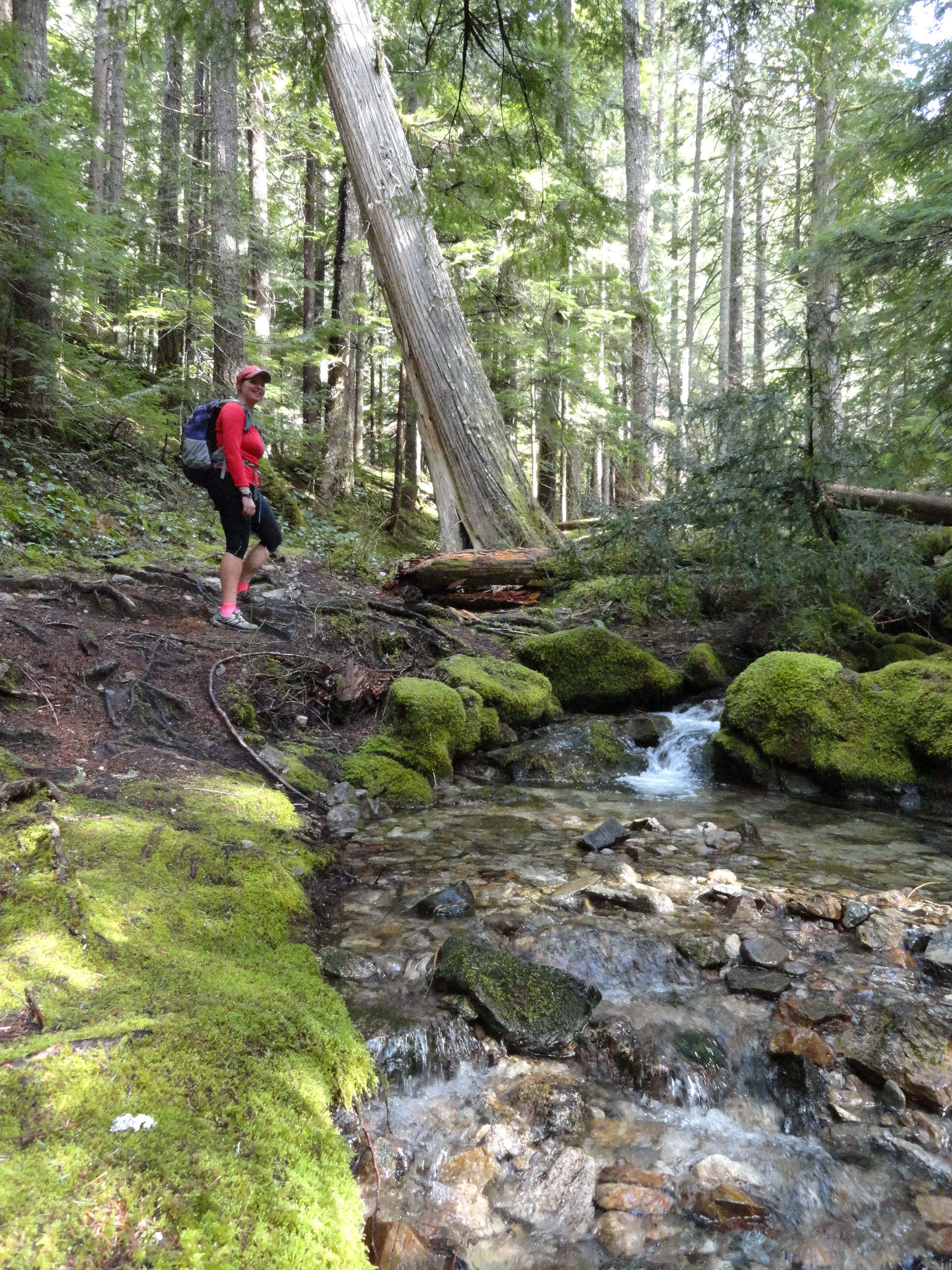
Quick Facts: Location: Ross Lake NRA, North Cascades Scenic Highway Land Agency: National Park Service Roundtrip: 4.5 miles High Point: feet Elevation gain: 1500 feet Difficulty: moderate Contact: North Cascades National Park Green Trails Map: North Cascades Ross Lake 16SX Notes: Dogs permitted on leash. Access: From Marblemount follow the North Cascades Highway (SR 20) east for 21 miles to trailhead located…
Read MoreQuartz Creek–Hike through a majestic primeval forest along a crystal clear creek
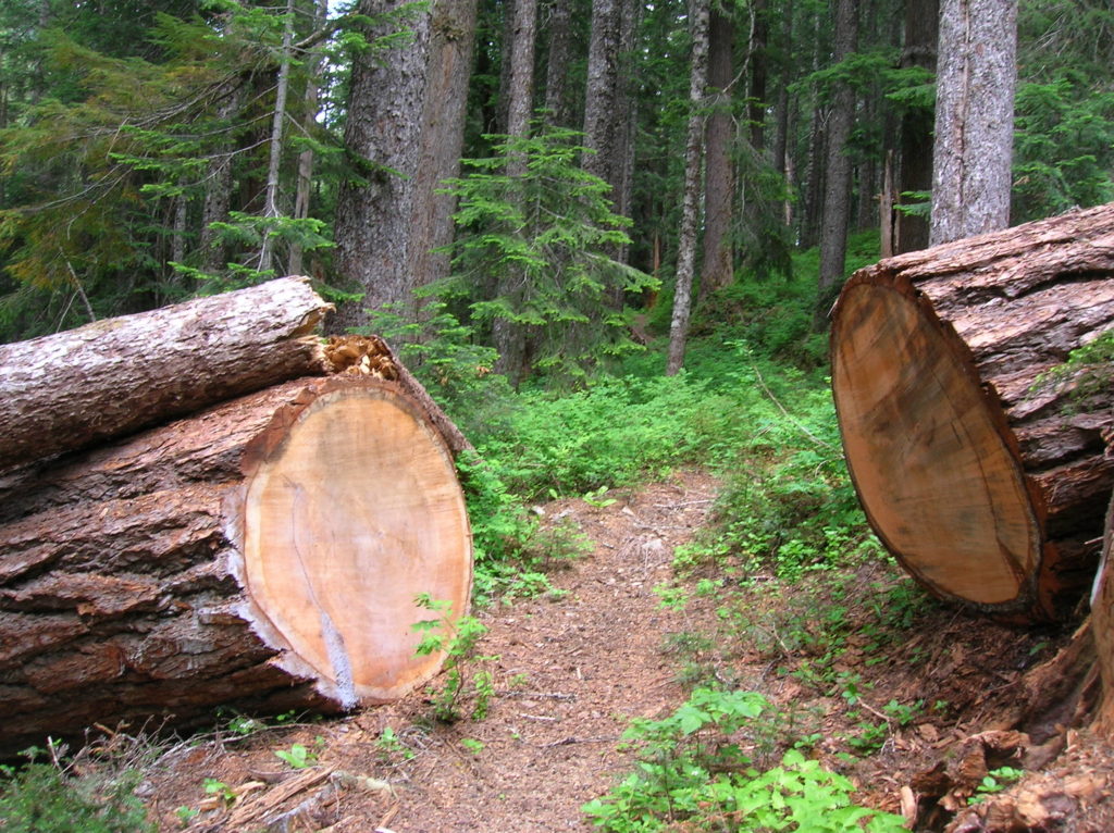
Quick Facts: Location: North Fork of the Skykomish River Land Agency: Mount Baker-Snoqualmie National Forest Roundtrip: 8.6 miles Elevation gain: 1450 feet Green Trails Maps: Monte Cristo, WA-No. 143 Contact: Skykomish Ranger District: Mount Baker Snoqualmie National Forest Notes: Northwest Forest Pass or Interagency Pass required. Access: The North Fork Skykomish River Road from Index, the…
Read More