Posts Tagged ‘old-growth’
White Pass–Sprawling meadows and stupendous views high on the Cascade Crest
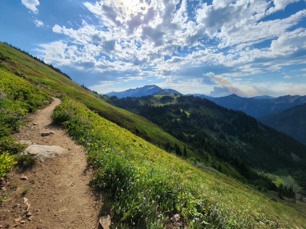
Location: North Fork Sauk River Land Agency: Mount Baker-Snoqualmie National Forest Roundtrip: 19.4 miles High Point: 5,850 feet Elevation gain: 4,000 feet Difficulty: strenuous Green Trails Maps: Mountain Loop Highway 111SX Contact: Darrington Ranger District: Mount Baker-Snoqualmie National Forest Note: Northwest Forest Pass or Interagency Pass Required Access: From Darrington, travel south on the Mountain…
Read MoreHorse Creek Trail–Trot through towering coastal old-growth forest
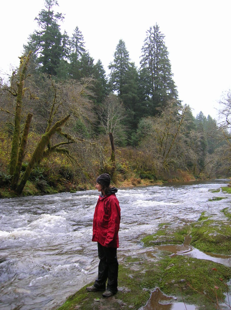
Quick Facts: Location: Drift Creek Wilderness, Siuslaw National Forest Land Agency: National Forest Service Roundtrip: 7.2 miles Map: Online from Forest Service Elevation gain: 1,400 feet Difficulty: moderate Contact: Central Coast Ranger District (Waldport), Siuslaw National Forest Notes: Drift Creek Wilderness is south of Newport. Do not confuse with popular Drift Creek Falls near Lincoln…
Read MoreEight Mile Creek–Enjoy elegant cedars and polished granite outcroppings on the way to Squire Creek Pass
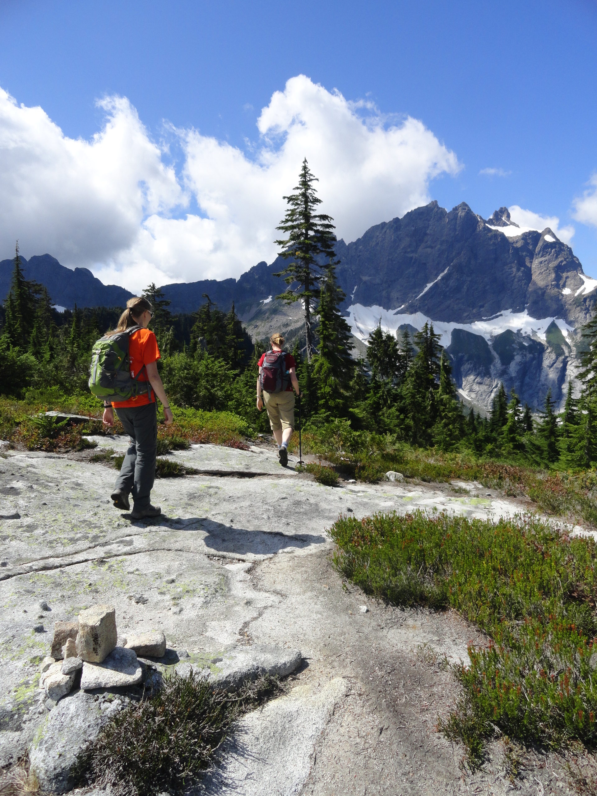
Quick Facts: Location: Boulder River Wilderness, Mountain Loop Highway Land Agency: Mount Baker-Snoqualmie National Forest Roundtrip: 6.0 miles High Point: 4,075 feet Elevation gain: 2,300 feet Difficulty: difficult Green Trails Maps: Mountain Loop Highway 111SX Contact: Darrington Ranger District: Mount Baker Snoqualmie National Forest Recommended Guidebook: Day Hiking North Cascades 2nd edition Access: From Darrington, follow…
Read MoreRed Pass─High Portal to Glacier Peak
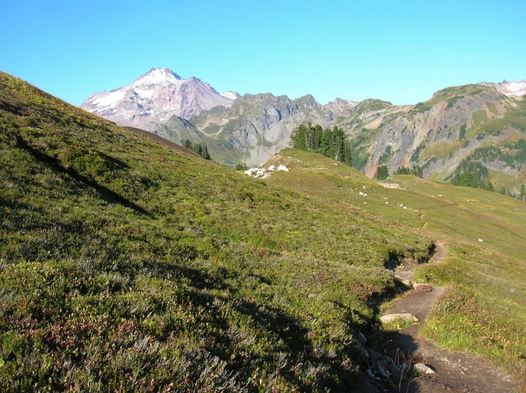
Quick Facts: Location: North Fork Sauk River Land Agency: Mount Baker-Snoqualmie National Forest Roundtrip: 20.6 miles Elevation Gain: 4,300 feet Contact: Darrington Ranger District: Mount Baker Snoqualmie National Forest (360) 436-1155; www.fs.fed.us/r6/mbs Green Trails Map: Mountain Loop Highway 111SX Special Note: Northwest Trail Pass required. Access: From Darrington, travel south on the Mountain Loop Highway…
Read MoreGee Point─ great views from this little-known peak!
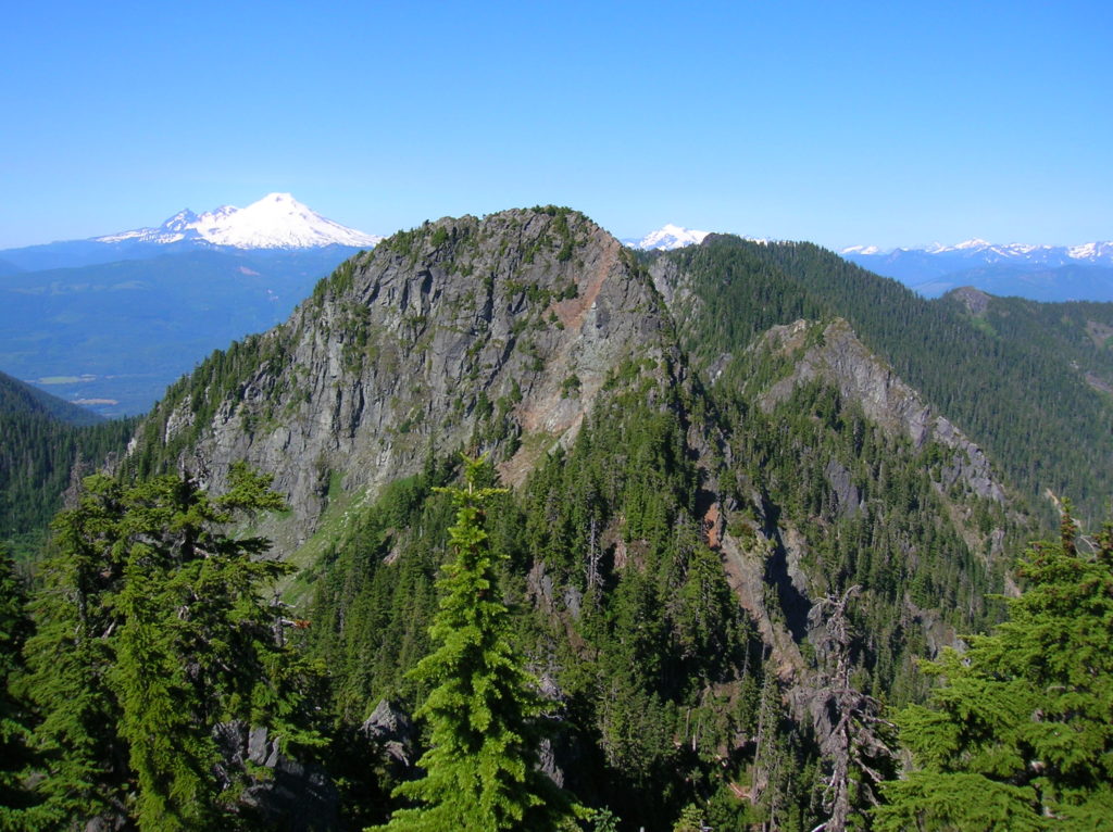
Quick Facts: Location: Finney Block, Skagit Valley Land Agency: Mount Baker-Snoqualmie National Forest Roundtrip: 3.0 miles Elevation Gain: 700 feet Contact: Mount Baker Ranger District: Mount Baker Snoqualmie National Forest (360) 856-5700; www.fs.fed.us/r6/mbs Green Trails Map: Oso, WA-No. 77 Access: From Burlington head east 28 miles on SR 20 towards Concrete turning right onto the…
Read MorePeek-a-boo Lake — peaceful little lake and peek-a-boo mountain views
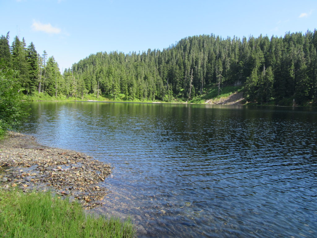
Quick Facts: Location: Mountain Loop Highway near Darrington Land Agency: Mount Baker-Snoqualmie National Forest Roundtrip: 5.0 miles Elevation gain: 1600 feet Green Trails Maps: Mountain Loop Highway 111 SX Contact: Mount Baker-Snoqualmie National Forest, Darrington Ranger District Notes: Access road is rough and brushy in spots. High clearance necessary. Access: From Darrington follow the Mountain Loop…
Read MoreLower Gray Wolf River– A nice place to hang out with the pack

Quick Facts: Location: Northeast Olympic Peninsula Land Agency: Olympic National Forest Roundtrip: 7.0 miles Elevation gain: 900 feet Contact: Hood Canal Ranger District, Quilcene Green Trails Map: Olympic Mountains East no. 168SX Notes: wilderness rules apply Recommended Guidebook: Day Hiking Olympic Peninsula Good to Know: dog-friendly; kid-friendly; easy backpacking options, Buckhorn Wilderness Access: From US…
Read MoreGoat Falls –“Kid-friendly” snowshoe trip near Mount Rainier National Park
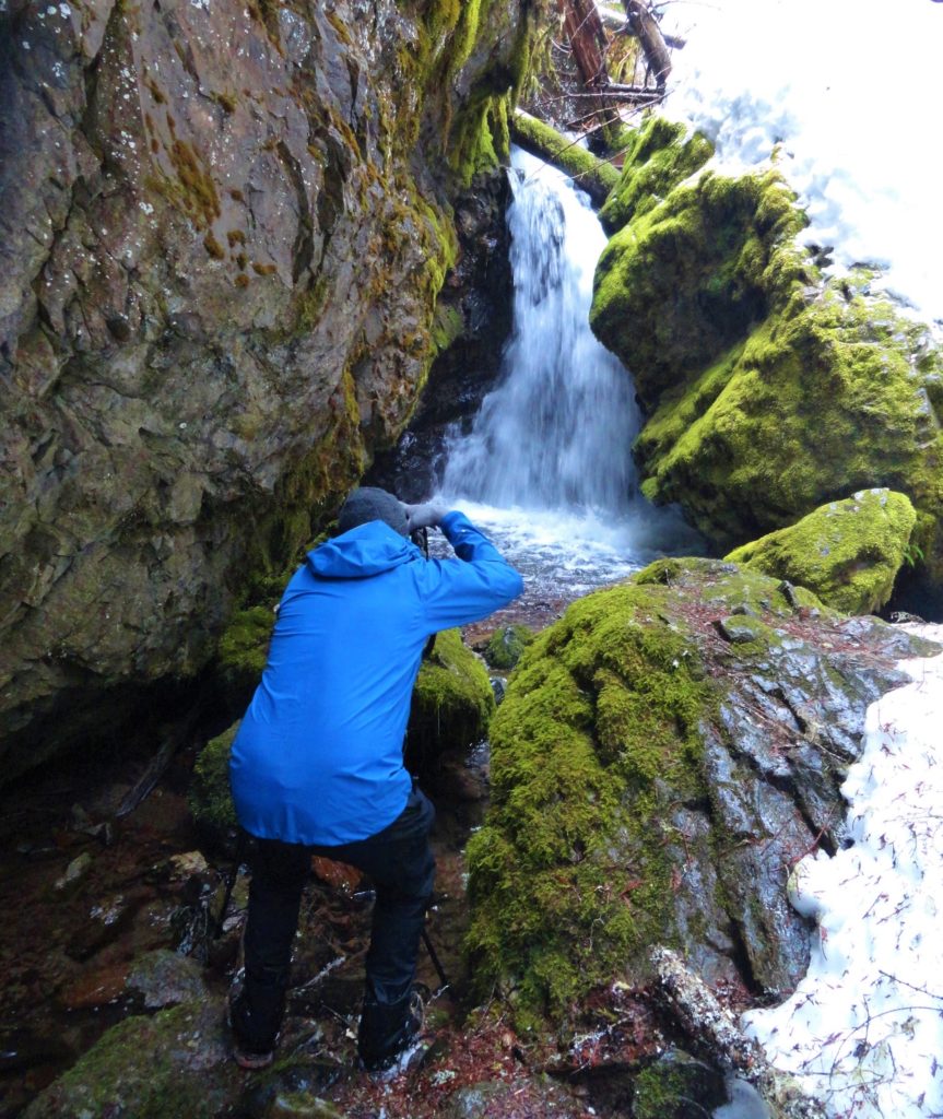
Quick Facts: Location: White River Valley Land Agency: Mount Baker-Snoqualmie National Forest Roundtrip: 2.5 miles Elevation gain: 500 feet Green Trails Map: Mount Rainier Wonderland no. 269SX Contact: Mount Baker-Snoqualmie National Forest; Snoqualmie Ranger DistrictNotes: Northwest Forest Pass required at actual trailhead. When snow level is low, parking may be a challenge. Do not block…
Read MoreSulphur Mountain –Savor Sweet Suiattle Valley Views
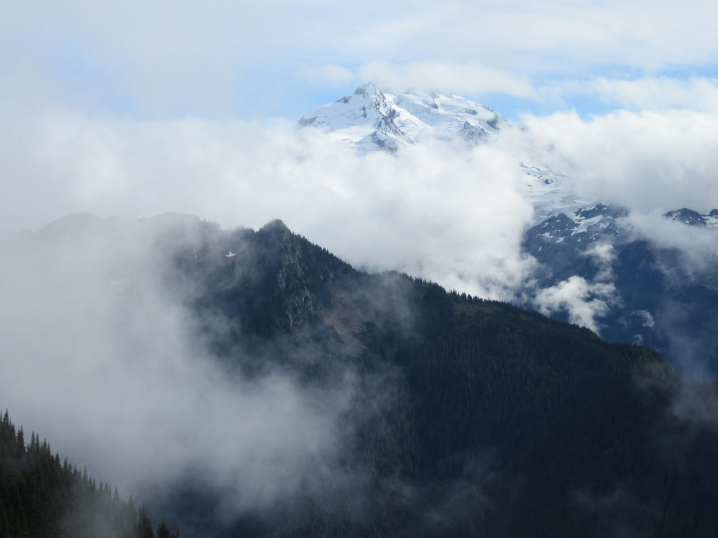
Quick Facts: Location: Suiattle River Road Land Agency: Mount Baker-Snoqualmie National Forest Roundtrip: 10.0 miles Elevation gain: 4,600 feet Green Trails Maps: Mountain Loop Highway Map 111SX Contact: Darrington Ranger District: Mount Baker-Snoqualmie National Forest Notes: Northwest Forest Pass or interagency pass required Access: From Darrington, travel north on SR 530 for 7.5 miles turning…
Read MoreCora Lake– Emerald lake cradled beneath craggy High Rock
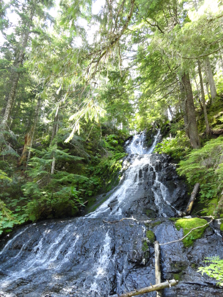
Quick Facts: Location: Nisqually River Valley Land Agency: National Forest Service Roundtrip: 1.4 miles Elevation Gain: 400 feet Contact: Gifford Pinchot National Forest Green Trails Map: Randle, WA no. 301 Notes: no pass needed; creek crossing might be challenging early in the season; trail is open to mountain and motor bikes Access: From Elbe, follow SR 706 east…
Read More