Posts Tagged ‘old-growth’
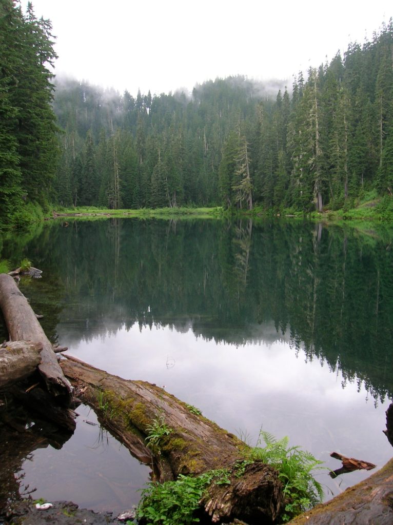
Cutthroat Lakes– Hike to a set of beautiful tarns beneath Bald Mountain
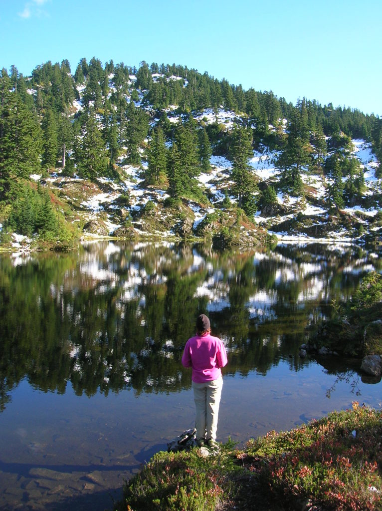
Quick Facts: Location: Mountain Loop Highway Land Agency: Mount Baker-Snoqualmie National Forest; Washington Department of Natural Resources Roundtrip: 6.0 miles Elevation gain: 1,700 feet Green Trails Maps: Mountain Loop Highway 111SX Recommended Resource: Day Hiking North Cascades (Romano; Mountaineers Books) Contact: Darrington Ranger District: Mount Baker-Snoqualmie National Forest Notes: access road is narrow and parking is limited.…
Read MoreLake West and Lake Helen – Seldom visited lakes within the shadows of Mount Rainier
Quick Facts: Location: Glacier View Wilderness Land Agency: Gifford Pinchot National Forest Roundtrip: 8.4 miles Elevation gain: 1,600 feet Green Trails Map: Mount Rainier West, WA no. 269 Contact: Cowlitz Valley Ranger Station (Randle), Gifford Pinchot National Forest Notes: FR 59 is rough in spots but is passable for passenger cars. Wilderness regulations apply. Free…
Read MoreHeart Lake– A perfect destination for a St. Valentine’s Day hike

Quick Facts: Location: Fidalgo Island Land Agency: Anacortes Parks Department Roundtrip: 3.0 miles Green Trails Map: Deception Pass/Anacortes Community Forest Lands No. 41S Elevation gain: 160 feet Contact: City of Anacortes Parks and Recreation; Friends of the Forest Notes: Dogs must be leashed; some trails open to bicycles, horses. Access: From Exit 230 on…
Read MoreWhite River–Low country snowshoe adventure within the shadow of Mount Rainier
Location: White River Valley Land Agency: Mount Baker-Snoqualmie National Forest Roundtrip: up to 10.0 miles Elevation gain: 700 feet Green Trails Map: Greenwater No. 238 Contact: Mount Baker-Snoqualmie National Forest Notes: Northwest Forest Pass; Parking can be a challenge when snowfall is heavy along roads. Do not park on road shoulders, or block access to substation…
Read MorePinnacle Lake — Pretty little lake perched on a shoulder of Mount Pilchuck
Quick Facts: Location: Mountain Loop Highway, near Granite Falls Land Agency: Mount Baker-Snoqualmie National Forest; Washington State Parks Roundtrip: 4.2 miles Elevation gain: 1,100 feet Green Trails Maps: Mountain Loop Highway 111SX Contact: Darrington Ranger District: Mount Baker-Snoqualmie National Forest Notes: access road is rough, high clearance vehicles recommended. Access: From Granite Falls follow the…
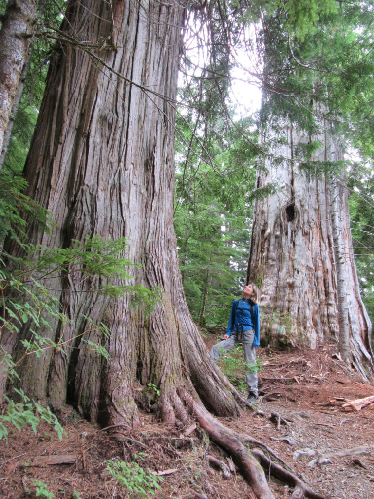
Read MoreEastside Trail — Big trees, big waterfalls, and lots of tranquility
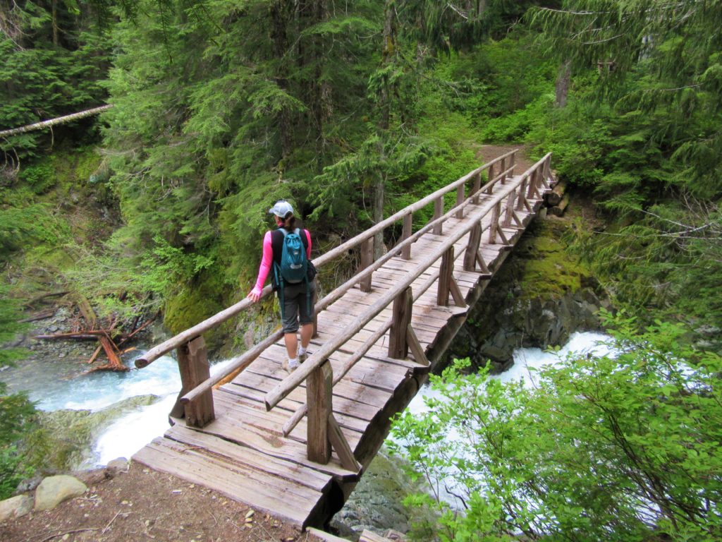
Quick Facts: Location: Mount Rainier National park Land Agency: National Park Service One way: 9.0 miles Elevation Loss: 2,200 feet Contact: Mount Rainier National Park Green Trails Maps: Mount Rainier National Park 269S Notes: National Park entry fee; Dogs prohibited; Keep children nearby around waterfalls and creek sides as a slip or fall can lead to…
Read MoreGreen Lake and Ranger Falls –Towering trees and a three-tiered cataract
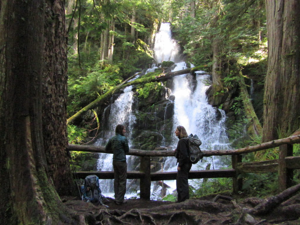
Quick Facts: Location: Carbon River Valley, Mount Rainier National Park Land Agency: National Park Service Roundtrip: 9.6 miles Elevation Gain: 1,350 feet Contact: Mount Rainier National Park Green Trails Map: Mount Rainier National Park 269SX Notes: National Park entrance fee; Dogs Prohibited; Practice Leave No Trace Principles; camping only in designated spots and with a permit Access: From Buckley,…
Read MoreIndependence Lake–A great place to celebrate the 4th of July and the Freedom of the Hills
Quick Facts Location: Mountain Loop Highway near Granite Falls Land Agency: Mount Baker-Snoqualmie National Forest Roundtrip: 1.5 miles…
Read More