Posts Tagged ‘Trail Less Taken’
Abercrombie Mountain– Northeast Washington’s second highest summit is first rate when it comes to views
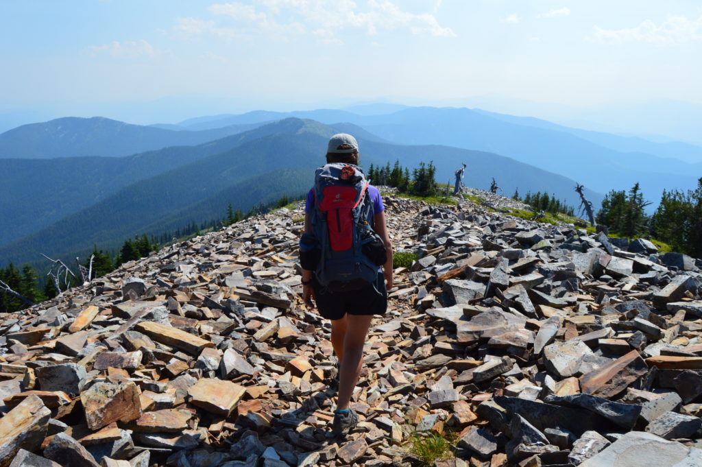
Quick Facts: Location: Abercrombie-Hooknose Roadless Area, Selkirk Mountains Land Agency: Colville National Forest Roundtrip: 7.4 miles Elevation gain: 2,300 feet Contact: Colville National Forest, Three Rivers Ranger District (Colville) (509) 684-3711 Notes: Access road requires high clearance vehicle Access: From Colville, Washington travel north on Aladdin Road (CR 9435) for 25 miles. Turn right on…
Read MoreNorth Navarre Peak–The Summer Blossom Trail blooms with extensive views!
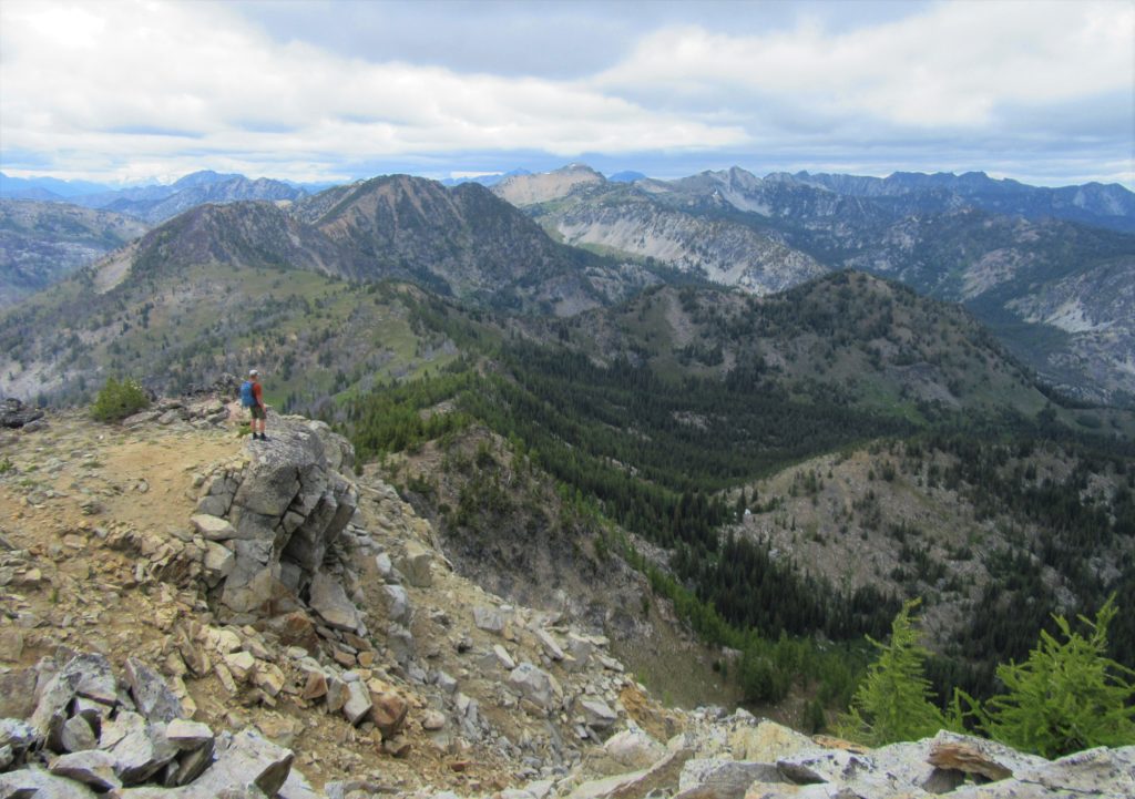
Location: Sawtooth Ridge near Lake Chelan Land Agency: Okanogan-Wenatchee National Forest Roundtrip: 5.0 miles Elevation gain: 1,550 feet Contact: Chelan Ranger District: Okanogan-Wenatchee National Forest Green Trails Map: Prince Creek- No. 115 Notes: access is via a long and bumpy gravel road. Four-wheel drive recommended. Good to Know: Exceptional wildflowers; exceptional views; backpacking options; exceptional…
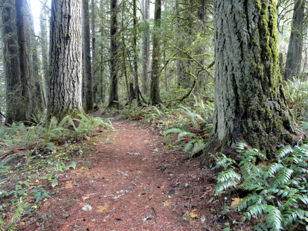
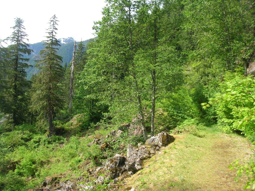
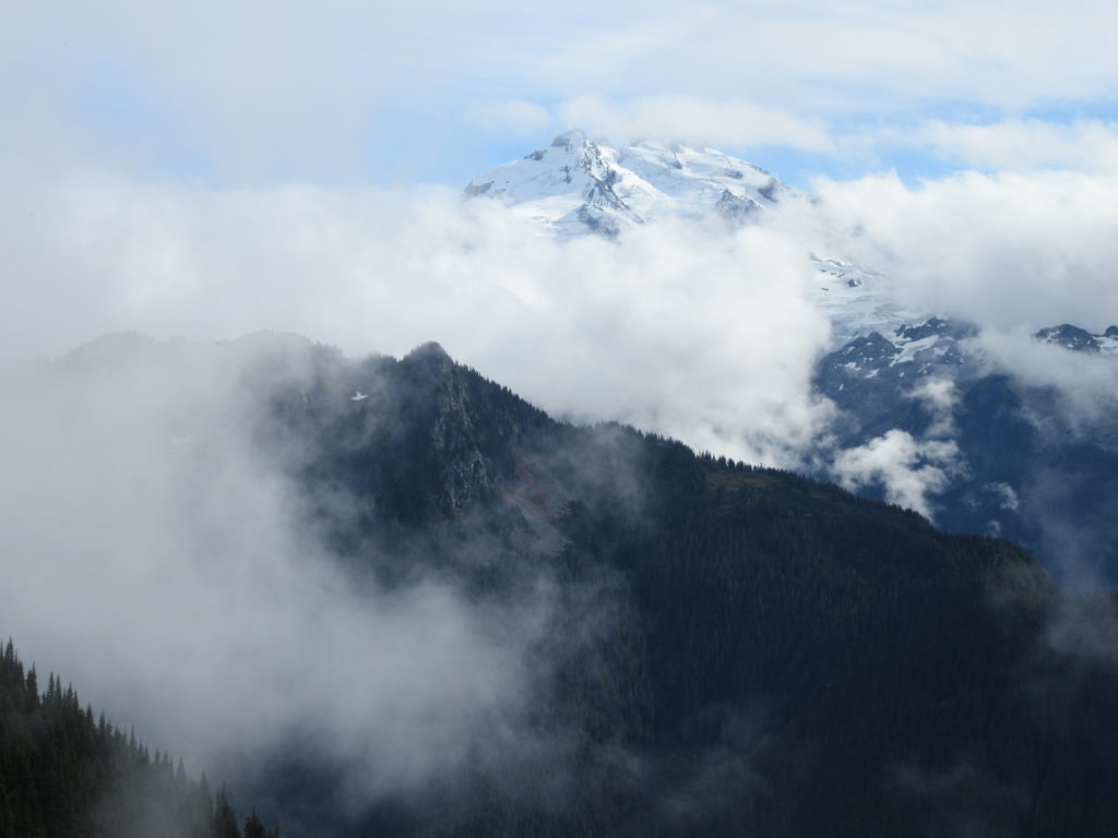
Read MoreEastside Trail (Lower)
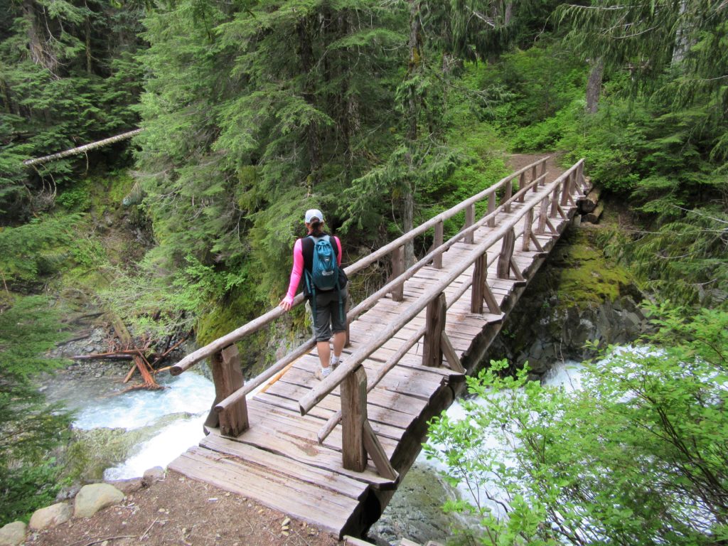
Quiet wanderings through ancient forests and by crashing cascades Quick Facts: Location Mount Rainier National Park Land Agency: United States National Park Service Distance: 9.0 miles one way Elevation Gain: 2200 feet Contact: Mount Rainier National Park Green Trails Map: Mount Rainier National Park 269SX Notes: Dog Prohibited, National Park Entrance Fee or Interagency Pass…
Read MoreFort Flagler Loop─Old defense post now protects undeveloped Puget Sound coastline
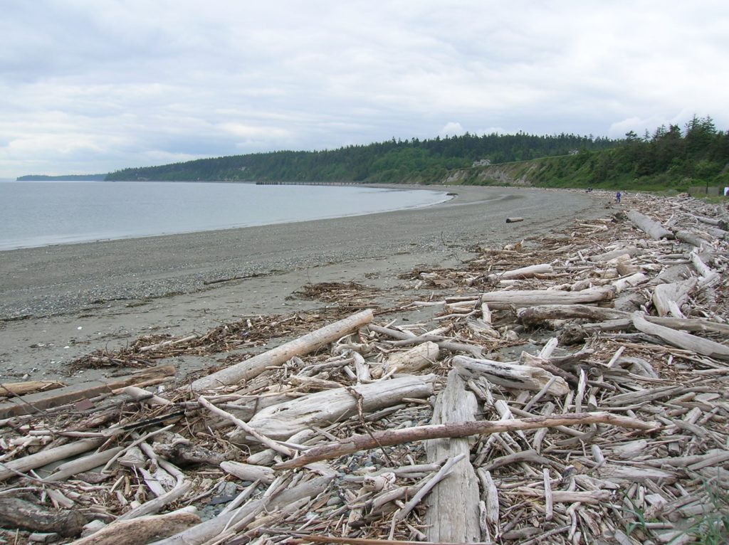
Quick Facts: Location: Marrowstone Island Land Agency: Washington State Parks Contact: Fort Flagler State Park Roundtrip: 5.6 miles Elevation Gain: 200 feet Access: From Kingston Ferry Terminal, follow SR 104 west for 15 miles turning right onto SR 19. Continue north for 9 miles to Chimicum turning right onto Irondale Road and proceeding 1.6 miles…
Read MoreRainbow Falls State Park
Stroll through groves of Old-growth above the Chehalis River Quick Facts: Location: Chehalis River Valley Land Agency: Washington State Parks Roundtrip: up to 3.0 miles Elevation gain: 300 feet Contact: Rainbow Falls State Park Notes: Discover Pass required; dogs must be leashed Access: From Chehalis (exit 77 on I-5) follow SR 6 west for 16…
Read MoreLake Sylvia─A great place to log some hiking miles
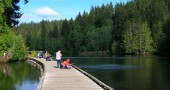
Quick Facts: Location: Montesano, Olympic Peninsula Land Agency: Washington State Parks Roundtrip: 4.9 miles Elevation Gain: 220 feet Access: From US 12 in Montesano, head north on Main Street past the county courthouse. Turn left onto Spruce Avenue proceeding three blocks. Then turn right on 3rd Street which becomes Sylvia Lake Road for 1.2 miles to…
Read MoreLa Center Bottoms─Wintering bird haven on the East Fork of the Lewis River
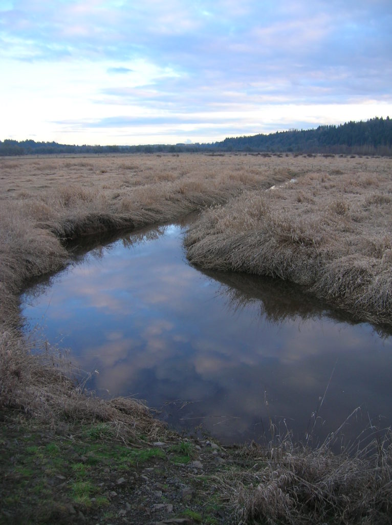
Quick Facts: Location: La Center, Clark County Wash. Land Agency: Clark County Parks Roundtrip: 2.0 miles Elevation Gain: 30 feet Special Note: Dogs permitted on leash. Access: From Vancouver, head north on I-5 to Exit 16. Turn right onto La Center Road and proceed for 1.6 miles to the bridge over the East Fork Lewis River.…
Read MoreWhite Chuck Bench Trail — Glacier-fed Whitewater
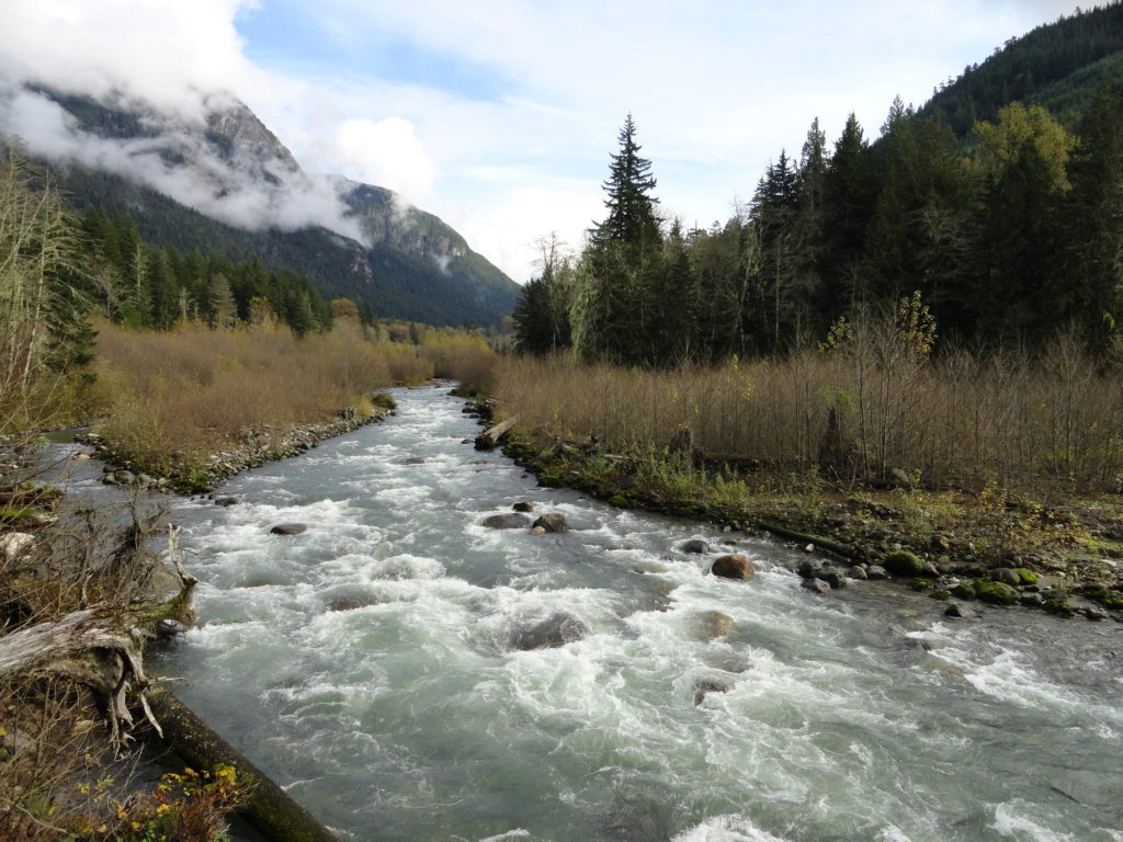
Quick Facts: Location: Mountain Loop Highway Land Agency: Mount Baker-Snoqualmie National Forest Roundtrip: 14 miles Elevation gain: 1500 feet Green Trails Map: Green Trails, Mountain Loop Highway, WA- no. 111SX Contact: Darrington Ranger District: Mount Baker Snoqualmie National Forest Access: From Darrington follow Mountain Loop Highway for 9.0 miles. Turn left onto FR 22 and…
Read MoreOld Government Trail–Follow in the footsteps of long gone miners and adventurers
Location: Mountain Loop Highway near Granite Falls Land Agency: Mount Baker-Snoqualmie National Forest Roundtrip: 4.0 miles High Point: 2,450 feet Elevation gain: 400 feet Difficulty: difficult Green Trails Map: Mountain Loop Highway 111SX Contact: Darrington Ranger District: Mount Baker Snoqualmie National Forest ( Notes: Northwest Forest Pass required Access: : From Granite Falls, follow the Mountain…
Read MoreSulphur Mountain –Savor Sweet Suiattle Valley Views
Quick Facts: Location: Suiattle River Road Land Agency: Mount Baker-Snoqualmie National Forest Roundtrip: 10.0 miles Elevation gain: 4,600 feet Green Trails Maps: Mountain Loop Highway Map 111SX Contact: Darrington Ranger District: Mount Baker-Snoqualmie National Forest Notes: Northwest Forest Pass or interagency pass required Access: From Darrington, travel north on SR 530 for 7.5 miles turning…
Read More