Posts Tagged ‘Trail Less Taken’
Juniper Dunes Wilderness –A wilderness “sans” trails
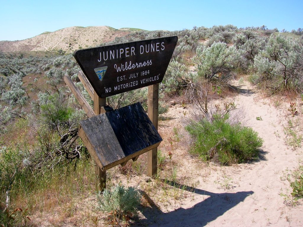
Quick Facts Location: Franklin County, Eastern Washington Land Agency: Bureau of Land Management Roundtrip: 2.0 miles Elevation gain: 200 feet Difficulty: Moderate Contact: Bureau of Land Management (BLM) Spokane Office Notes: All approaches to this wilderness area are currently via private roads and land. The southern approach cannot be recommended due to poor roads and changing…
Read MoreFletcher Canyon– Explore a rugged rift in the Quinault Ridge
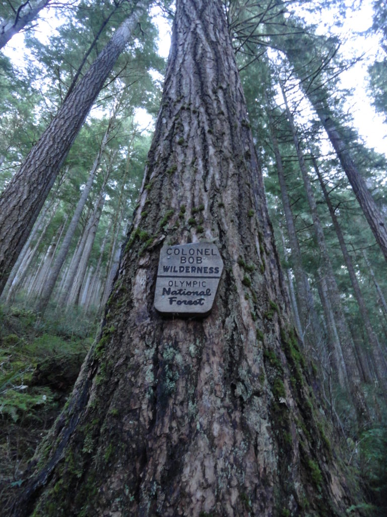
Quick Facts: Location: Colonel Bob Wilderness Land Agency: Olympic National Forest Roundtrip: 3.8 miles Elevation Gain: 1100 feet Contact: Olympic National Forest, Pacific Ranger District, Quinault Green Trails Map: Mt Christie No. 166 Recommended Guidebook: Day Hiking Olympic Peninsula 2nd edition (Mountaineers Books) Access: From Hoquiam, travel north on US 101 for 38 miles turning right onto South…
Read MoreTwin Falls Lake–Hike to a secluded lake between two waterfalls
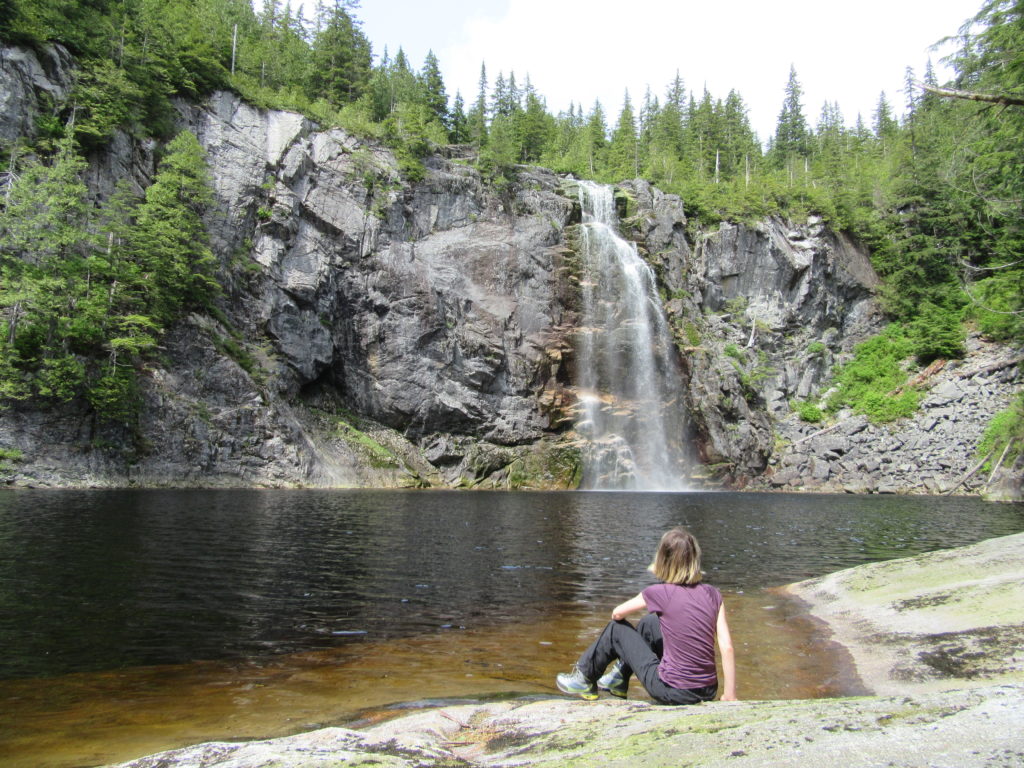
Quick Facts: Location: Mountain Loop Highway near Granite Falls Land Agency: Washington Department of Natural Resources Roundtrip: 8.8 miles Elevation gain: 1,200 feet Green Trails Map: Mountain Loop HIghway 111SX Contact: Northwest Region Ranger District WA DNR (360) 856-3500 Notes: Discover Pass required; trail beyond Ashland Lakes sees little maintenance, is extremely difficult and not…
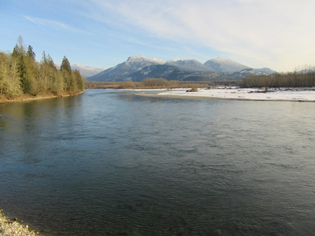
Read MoreWest Fork Methow River
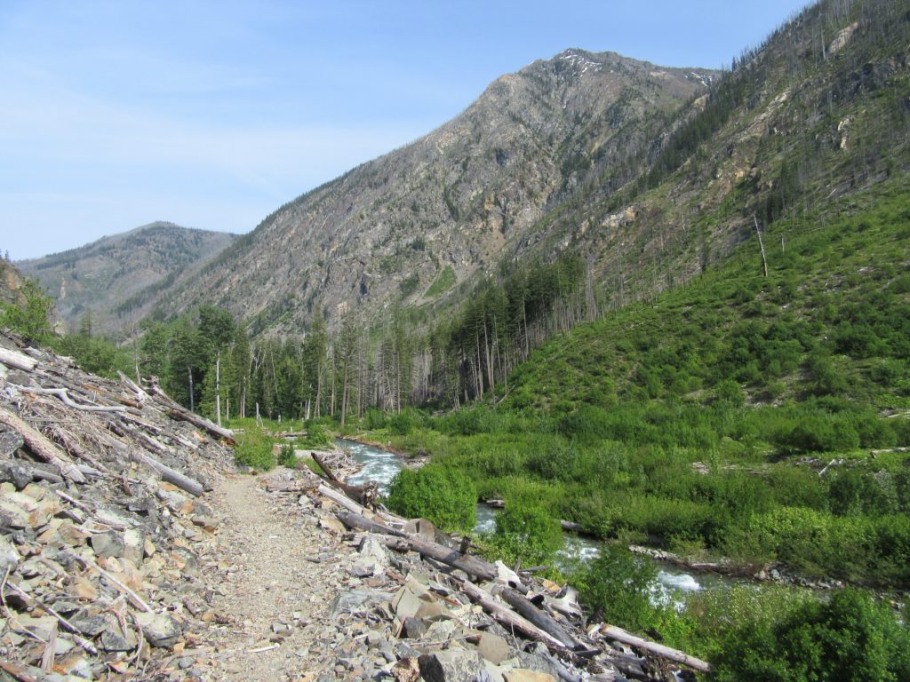
Follow a trail less traveled along a roaring waterway Quick Facts: Location: Methow Valley Round Trip: 5.0 miles Elevation Gain: 450 feet Contact: Okanogan-Wenatchee National Forest, Methow Valley Ranger District Detailed Information: Day Hiking North Cascades 2nd edition (Mountaineers Books) Notes: Northwest Forest Pass or Interagency Pass required; watch for rattlesnakes Green Trails Map: Methow…
Read MoreSkagit-Sauk Reach Trail
Watch for eagles along an old remote rail line Quick Facts: Location: Skagit Valley Land Agency: Skagit County Parks Round Trip: 3.5 miles Elevation Gain: minimal Contact: Howard Miller Steelhead Park Detailed Information: Day Hiking North Cascades Second edition (Mountaineers Books) Notes: Dogs permitted on leash. Access: From Burlington (exit 230 on I-5), travel 38…
Read MoreWeowna Park
Hike a quiet forested bluff above Lake Sammamish Quick Facts: Location: Bellevue, WA Land Agency contact: city of Bellevue Parks and Recreation Round Trip: 2.5 miles of trails Elevation Gain: up to 500 feet Detailed Information: Urban Trails Eastside (Mountaineers Books) Map: online Notes: dogs permitted on leash Access: From I-90 exit 11B in Bellevue…
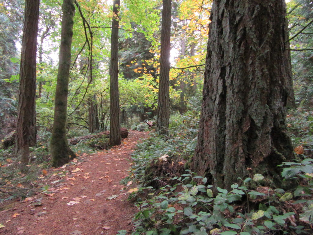
Read MoreQuartz Creek–Hike through a majestic primeval forest along a crystal clear creek
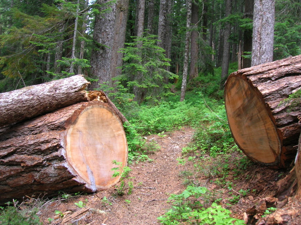
Quick Facts: Location: North Fork of the Skykomish River Land Agency: Mount Baker-Snoqualmie National Forest Roundtrip: 8.6 miles Elevation gain: 1450 feet Green Trails Maps: Monte Cristo, WA-No. 143 Contact: Skykomish Ranger District: Mount Baker Snoqualmie National Forest Notes: Northwest Forest Pass or Interagency Pass required. Access: The North Fork Skykomish River Road from Index, the…
Read MoreHappy Panther Trail–Take a joyful catwalk in the North Cascades
Quick Facts: Location: North Cascades Scenic Highway Land Agency: Ross Lake National Recreation Area, National Park Service Roundtrip: 11.8 miles Elevation gain: 1200 feet Green Trails Maps: Green Trails, North Cascades Ross Lake No. 16SX Contact: North Cascades National Park complex Notes: Dogs must be leashed Access: From Burlington follow SR 20 east to Marblemount. Then…
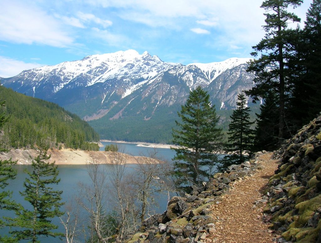
Read MoreCrystal Lake─ a trail less taken if you take the old way
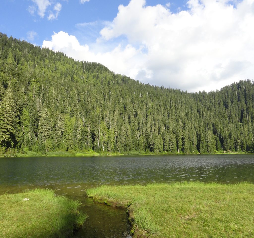
Quick Facts: Location: White Chuck River Valley, Mountain Loop Highway Land Agency: National Forest Service Roundtrip: 9.0 miles Elevation Gain: 2,150 feet Green Trails Map: Mountain Loop Highway 111SX Access: Take Exit 208 off of I-5 following SR 530 east for 32 miles to Darrington. Then head south on the Mountain Loop Highway proceeding 9.0…
Read MoreWagonwheel Lake─You’ll bust your axle on this tough hike
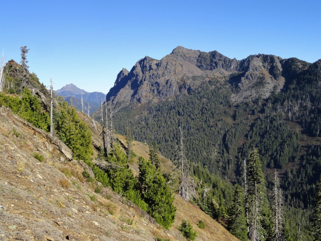
Quick Facts: Location: Staircase Area, Olympic National Land Agency: National Park Service Roundtrip: 5.8 miles Elevation Gain: 3,200 feet Green Trails Map: Olympic Mountains East 168SX Notes: Dogs prohibited; National Park entry fee. Access: From Shelton, head north on US 101 for 15 miles to Hoodsport. Turn left onto SR 119 proceeding for 9.3 miles…
Read More