Posts Tagged ‘Wildflowers’
Sourdough Ridge — Enjoy sweet views of Mount Rainier from this easy ridge hike
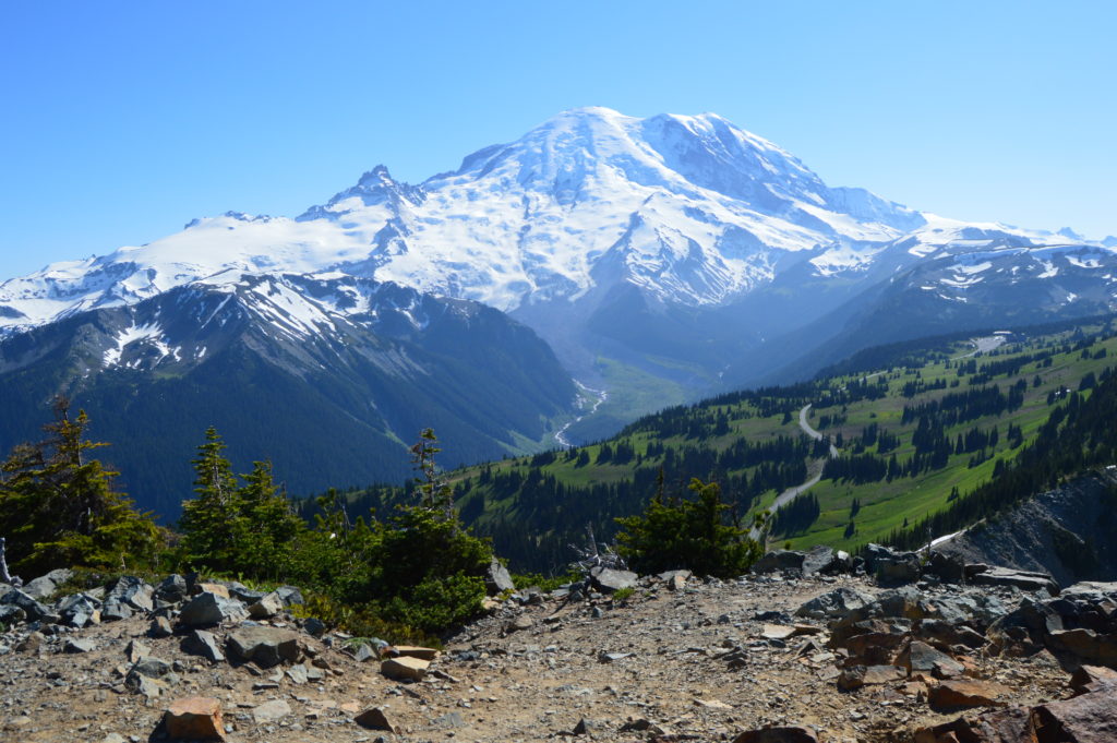
Quick Facts: Location: Sunrise, Mount Rainier National Park…
Read MoreSourdough Mountain Lookout–Trail is 5.5 miles long and one mile straight up!
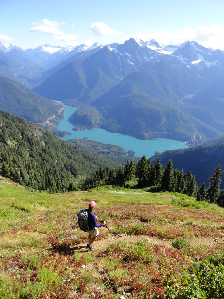
Quick Facts: Location: North Cascades Highway Land Agency: North Cascades National Park Roundtrip: 11.0 miles Elevation Gain: 5,100 feet Green Trails Maps: Diablo, WA-No. 48 Access: From Marblemount, follow the North Cascades Highway (SR 20) east for 20 miles. Turn left onto Diablo Road and proceed 0.7 mile crossing an iron bridge spanning Stetattle Creek. Bear right reaching the trailhead in…
Read MoreTom McCall Point─Legendary Columbia River Gorge Wildflower Display
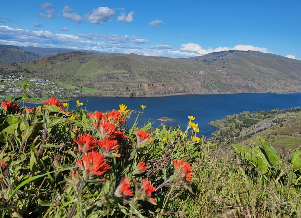
Quick Facts: Location: Columbia River Gorge National Scenic Area Land Agency: Oregon Nature Conservancy and Mayer State Roundtrip: 3.2 miles Elevation Gain: 1,000 feet Notes: Dogs prohibited; Trail closed from Nov 1 through Apr 30 to limit tread damage. Practice Leave No Trace Principles Green Trails Map: Columbia River Gorge East No. 432S Contact: Oregon…
Read MoreStacker Butte─Blossoming Queen of the Columbia River Gorge
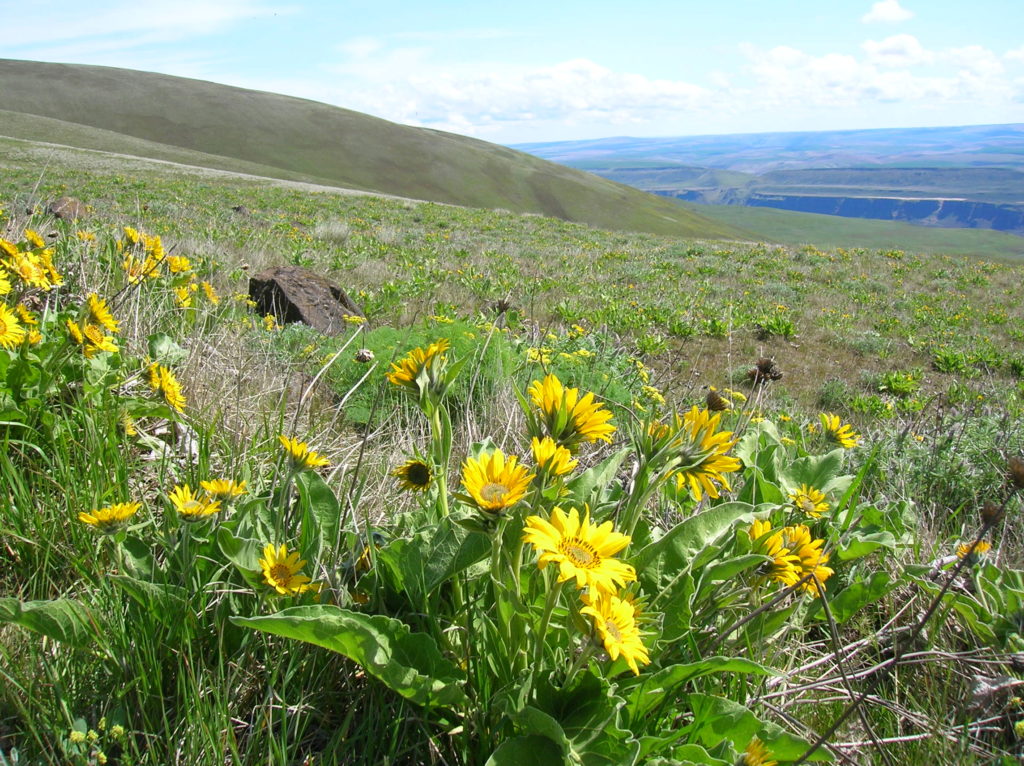
Quick Facts: Location: Columbia River Gorge National Scenic Area Land Agency: Washington Department of Natural Resources Roundtrip: 5.0 miles Elevation Gain: 1,150 feet Contact: Washington DNR Southeast Region Notes: Discover Pass required; Dogs prohibited; Practice Leave No Trace Principles Recommended Resource: Day Hiking Columbia River Gorge Green trails Map: Columbia River Gorge West No. 432S Good…
Read MoreWest Cady Ridge—from wildflowers to autumn colors
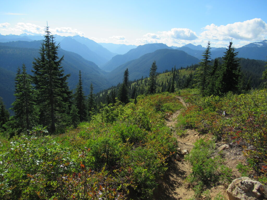
Quick Facts: Location: Wild Sky and Henry Jackson Wildernesses, North Fork Skykomish River Valley Land Agency: National Forest Service Roundtrip: 8.0 miles Elevation Gain: 2,300 feet Green Trails Map: Monte Cristo, WA- No. 143 Recommended source: Day Hiking Central Cascades 2nd edition (Mountaineers Books) Contact: Skykomish Ranger District: Mount Baker Snoqualmie National Forest Notes: Northwest…
Read MoreImage Lake — jewel in the heart of the Glacier Peak Wilderness
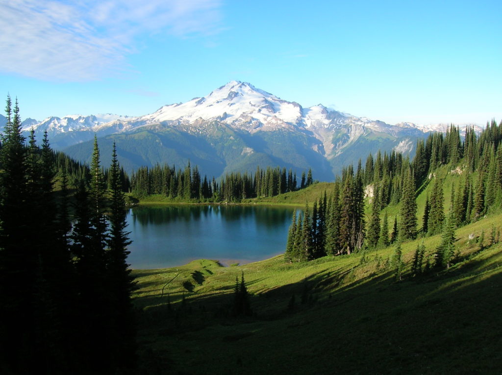
Quick Facts: Location: Glacier Peak Wilderness Land Agency: Mount Baker-Snoqualmie National Forest Roundtrip: 33.0 miles Elevation Gain: 4,700 feet Green Trails Map: Mountain Loop Highway 111SX Contact: Darrington Ranger District: Mount Baker Snoqualmie National Forest Notes: NW Forest or Interagency Pass required; No camping within ¼ mile of Image Lake—use established campsites; no fires at lake; respect re-vegetation…
Read MoreWapaloosie Mountain–a wapaloosie of a peak indeed!
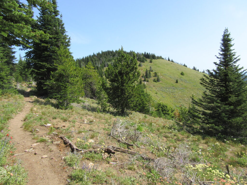
Location: Kettle River Range Land Agency: National Forest Service Roundtrip: 6.0 miles Elevation gain: 2,000 feet Contact: Colville National Forest Access: From Republic, head east on SR 20 for 21 miles turning left onto FR 2030 (Albion Hill Road). From Kettle Falls, head west on SR 20 for 22 miles, turning right onto FR 2030. Follow FR…
Read MoreFisher Lake–Quiet backcountry lake beyond Tonga Ridge
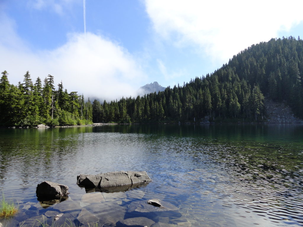
Quick Facts: Location: Skykomish Valley Land Agency: National Forest Service Round Trip: 10.0 miles Elevation Gain: 1350 feet Contact: Skykomish Ranger District, Mount Baker-Snoqualmie National Forest Green Trails Maps: Alpine Lakes West Stevens Pass No 176S Notes: Northwest Forest Pass or Interagency Pass required Access: Follow US 2 east to Skykomish. Then continue east for 1.9 miles…
Read MoreSherman Peak Loop– In general, the views are great

Quick Facts: Location: Kettle River Range, Ferry County Land Agency: National Forest Service Roundtrip: 6.0 miles Elevation gain: 1200 feet Contact: Colville National Forest, Republic Ranger District Notes: Hunting season has begun, wear orange Access: From Republic, head east on SR 20 for 16.8 miles to Sherman Pass. Turn left and follow access road .1…
Read MoreIndian Henry’s Hunting Ground via Kautz Lake — Head to a fabled land of wildflowers!
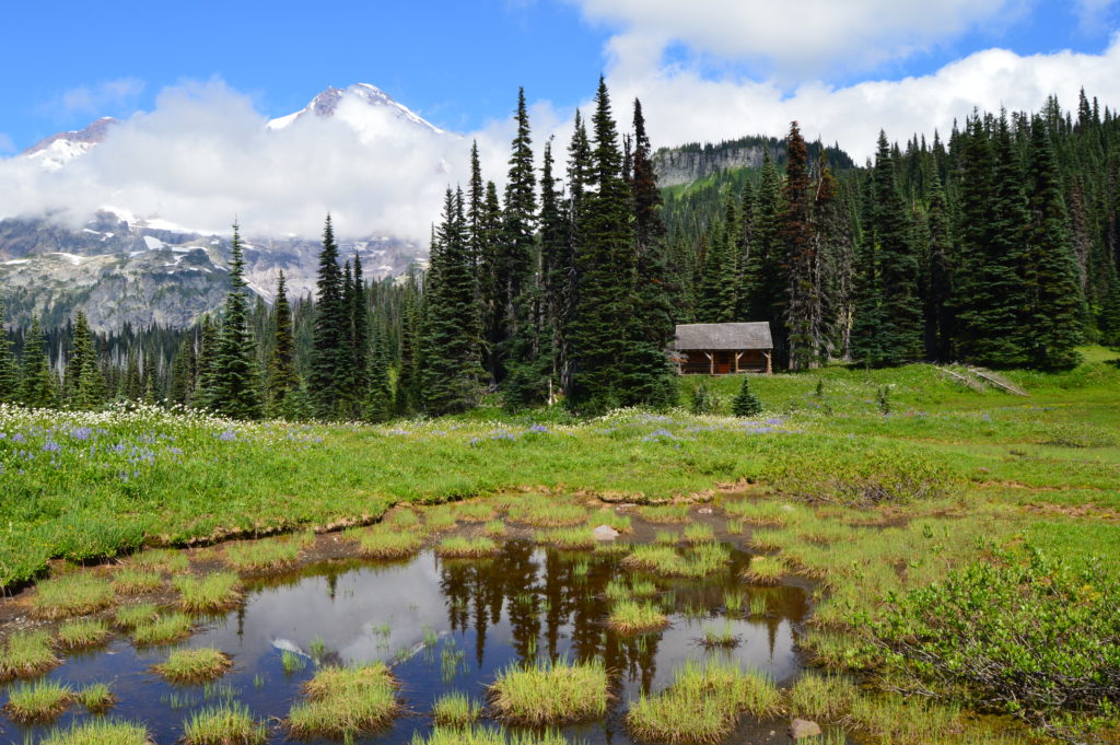
Quick Facts: Location: Nisqually Valley, Mount Rainier National Park Land Agency: National Park Service Roundtrip: 11.6 miles Elevation Gain: 3200 feet Contact: Mount Rainier National Park Green Trails Map: Mount Rainier National Park 269S Notes: National Park Entrance Fee or Interagency Pass required; Dog prohibited Timed entry pass required for entrance into Mount Rainier National Park (Longmire and Sunrise…
Read More