Fourth of July Pass─Declare your Independence this week in the North Cascades

Quick Facts:
Location: Ross Lake NRA, North Cascades Scenic Highway
Land Agency: National Park Service
Roundtrip: 10.6 miles
Elevation Gain: 2,350 feet
Green Trails Map: North Cascades Ross Lake 16SX
Special Note: Dogs must be leashed.
Contact: North Cascades National Park Visitors Center Newhalem
Recommended Guidebook: Day Hiking North Cascades 2nd Edition
Access: From Marblemount follow the North Cascades Highway (SR 20) east for 24 miles turning right into the Colonial Creek Campground. Head to Thunder Creek trailhead located near the amphitheatre.
Good to know: exceptional old-growth, trail less traveled, backpacking opportunities, kid-friendly, dog (on leash)-friendly, Practice Leave No Trace Principles
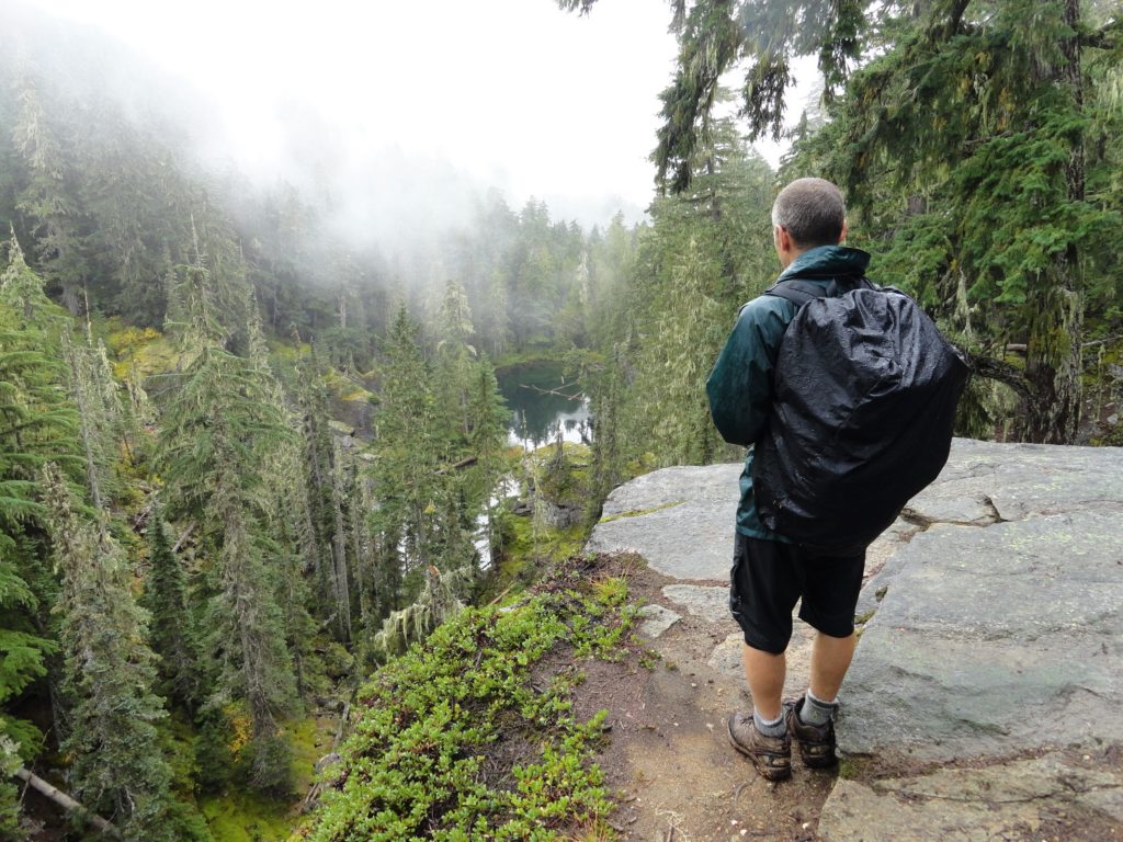
The views from Fourth of July Pass in the North Cascades won’t exactly set off any fireworks—the pass is low and forested—but hiking to it through old-growth forests in one of the most stunning park complexes in the country is plenty to celebrate. This Independence Day cherish the freedom of the hills and give thanks for our national parks, a truly American ideal by celebrating in one of our national parks—the Ross Lake National Recreation Area, part of the North Cascades National Park complex.
While many of our alpine regions are buried under a blanket of snow–the Fourth of July Pass is free from the winter blanket. Start on the Thunder Creek Trail, following this glacier fed waterway through a primeval forest that was old before Thomas Jefferson scribed the Declaration of Independence.
The trail immediately enters an impressive stand of old-growth forest. Hugging the thickly forested shore of Thunder Arm, an aquatic protrusion of Diablo Lake, pass the Thunder Woods Nature Trail, a recommended diversion. On still mornings and evenings catch glimpses of emerald ridges reflected on the placid turquoise waters of Thunder Arm.
Continue on a near level course under giant firs and cedars reaching Thunder Creek in about one mile. The old steel suspension bridge that once crossed Thunder Creek and thought by many hikers to be sturdy and reliable evidently wasn’t. The destructive floods of 2003 claimed it.
Travel alongside the west side of the creek, passing several inviting gravel bars. At 2.0 miles, the trail comes to a newer bridge. Cross the creek here and pass through Thunder Camp set in a centuries old grove of behemoth firs. At 2.3 miles comes to a junction with the Fourth of July Pass Trail. Easy wanderings now end. The hike to the pass is a good conditioner. You’ll gain 2,200 feet in the next 2.4 miles! And once you get to this broad gap between Ruby Mountain and Red Mountain, there are no sweeping views to greet you! There are however a few nice window views to the Colonial and Snowfield snow masses to the west. And the little Panther Potholes just beneath the pass make for a placid spot to sit and reflect upon our nation’s founding and the freedom to roam our vast public parks and forests!
Happy 4th of July everyone!

For detailed information on trails around Fourth of July Pass and throughout the region, check out my brand new Day Hiking North Cascades 2nd Edition. Book contains 136 hikes from the Mountain Loop Highway to the Methow Valley.Get your copy today!