Moss Lake Natural Area
Extensive peat bog teem with flora and fauna
Quick Facts:
Location: Snoqualmie Valley
Distance: 3.0 miles of trails
Elevation Gain: minimal
Contact: King County Parks
Recommended Guidebook: Urban Trails Eastside (Mountaineers Books)
Notes: dogs welcome on leash
Trailhead directions: Use your phone App to map to Moss Lake Natural Area 35646 NE Moss Lake Rd, Carnation, WA 98014
Good to Know: kid-friendly, dog-friendly, wetlands, rare flora and fauna
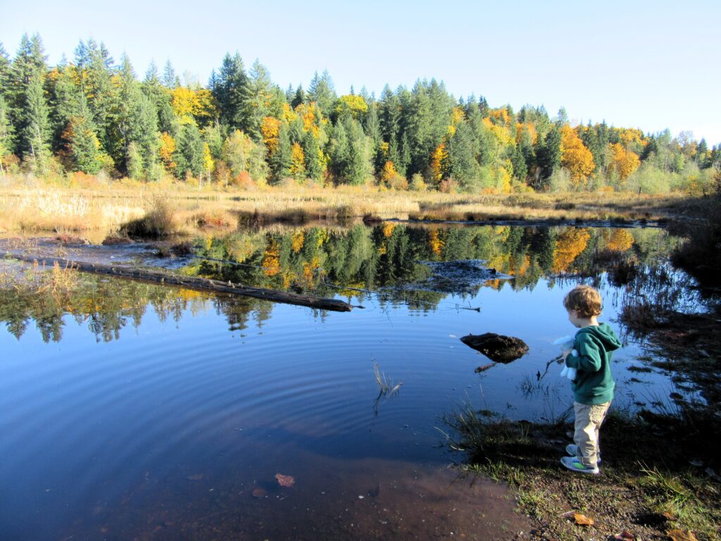
Wander on lightly traveled trails along a sprawling sphagnum bog and amble through quiet upland forest. More than forty percent of King County Parks’ 372-acre Moss Lake Natural Area consists of wetlands making it a prime spot for observing amphibians, birds, and other wild critters. Look for eagles, beavers, and herons. Spring and summer can be buggy here. Fall with its absence of biting bugs and groves of maples sporting touches of gold is downright delightful.
This area was long used for peat mining—from the 1920s until the 1960s. The little lake which is surrounded by bog was probably formed from the mining. Because an extensive peat bog is a rarity, Moss Lake became the first major purchase under King County’s 1989 Open Space Bond,
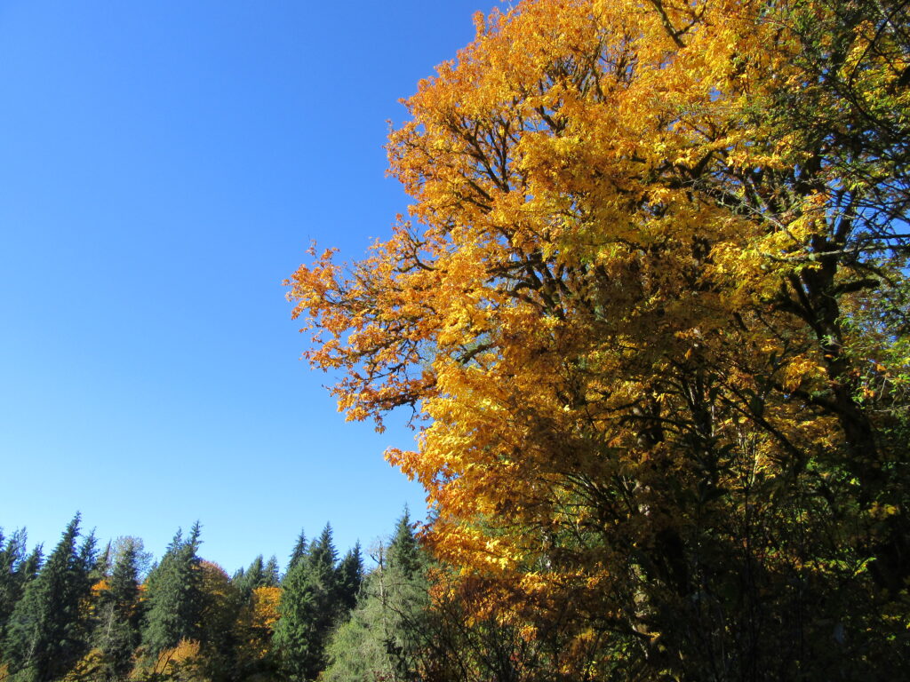
From the trailhead follow an old road soon coming to a spur offering the only (and often muddy) access to the lake. This is a great spot to look for birds. The old road-trail continues through a lovely maple forest and alongside the bog edge lined with salmonberries. Come in late spring and enjoy plump berries. Come in fall and enjoy a golden forest canopy.
The trail continues to a bridge spanning the lake’s outlet stream which feeds into the nearby Tolt River. Beyond it reaches a junction. Here two road-trails diverge and a 1.8 mile loop can be made. However, the trail to the right leaves county land to traverse private Hancock Forest Management property for 0.4 mile. The road left largely remains within the natural area climbing above the bog and traversing upland forest for 1.3 miles. Beyond where the road-trail bends east, a couple of unmarked trails diverge left heading for private timberland. These trails are primarily used by mountain bikers and equestrians.
A trail splits from the road-trail not too far from the junction and leads toward the bog. There are some good viewpoints of the sprawling wetland complex along the way and some benches for taking a break.
For more details on this hike and 59 others on Seattle’s Eastside, pick up a copy of my Urban Trails Eastside book, (Mountaineers Books).