Archives
Quick Facts: Location: Twisp River Valley Land Agency: Okanogan-Wenatchee National Forest Roundtrip: 8.5 miles Elevation gain: 3,800 feet Green Trails Map: Stehekin, WA – No 82 Contact: Methow Valley Ranger District: Okanogan-Wenatchee National Forest Notes: NW Forest Pass or Interagency Pass required Access: From Twisp, follow Twisp River Road…
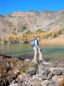
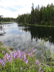
Quick Facts: Location: North Cascades Highway Land Agency: North Cascades National Park Roundtrip: 11.0 miles Elevation Gain: 5,100 feet Green Trails Maps: Diablo, WA-No. 48 Access: From Marblemount, follow the North Cascades Highway (SR 20) east for 20 miles. Turn left onto Diablo Road and proceed 0.7 mile crossing an iron bridge spanning Stetattle Creek. Bear…
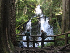
Quick Facts: Location: Mountain Loop Highway near Granite Falls Land Agency: Mount Baker-Snoqualmie National Forest Roundtrip: 2.2 miles Elevation gain: 200 feet Difficulty: easy Green Trails Map: Mountain Loop Highway 111SX Contact: Darrington Ranger District: Mount Baker- Snoqualmie National Forest or Verlot Public Service Center (summer weekends) (360) 691-7791 Notes: NW…
Quick Facts: Location: Carbon River Valley, Mount Rainier National Park Land Agency: National Park Service Roundtrip: 9.6 miles Elevation Gain: 1,350 feet Contact: Mount Rainier National Park Green Trails Map: Mount Rainier National Park 269SX Notes: National Park entrance fee; Dogs Prohibited; Practice Leave No Trace Principles; camping only in designated spots and with…
Quick Facts: NOTE: Road to Swan Lake has been damaged due to winter storms and may not be open. Call Republic Ranger District for road status (509) 775-7400 Location: Colville National Forest, near Republic Land Agency: US Forest Service Roundtrip: 3.1 miles Elevation gain: 360 feet Contact: Colville National Forest Notes:…
Quick Facts Location: SR 9 just south of Skagit County line Land Agency: Snohomish County Parks Roundtrip: 8.0 miles Elevation Gain: Minimal Access: From Arlington (junction of SR 530-SR 9), follow SR 9 north for 7.6 miles turning left into park. Proceed .1 mile to parking area. Notes: Dogs must…
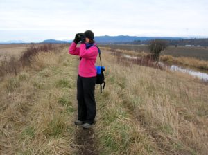
Quick Facts Location: Skagit Bay, Stanwood Land Agency: Washington Department of Fish and Wildlife Roundtrip: 3.6 miles Elevation Gain: None Access: From Exit 212 on I-5 head west on SR 532 for five miles to the town of Stanwood. Turn right onto the Pioneer Highway and proceed for 2.6 miles to…
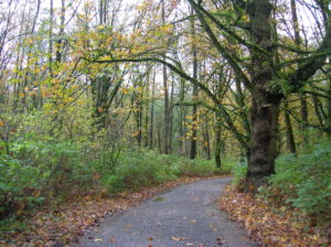
Quick Facts: Location: City of Monroe Land Agency: Monroe Parks and Recreation Department Roundtrip: 1.5 miles Elevation Gain: Minimal Notes: Dogs must be on leash; Trail is prone to flooding during periods of heavy rain. Access: From Everett follow US 2 east to Monroe. Turn right onto SR 203 (Lewis Street). Proceed past Main Street traffic…
Location: White Chuck River Valley, Mountain Loop Highway Land Agency: Mount Baker-Snoqualmie National Forest Roundtrip: 18.6 miles High Point: 5,983 feet Elevation gain: 4,800 feet Difficulty: challenging Notes:FR 23 is currently is closed at mile 4 due to a washout Green Trails Maps: Mountain Loop Highway no. 111SX Recommended Guidebook:…
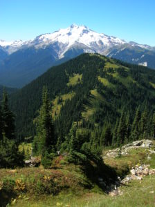
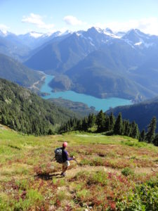
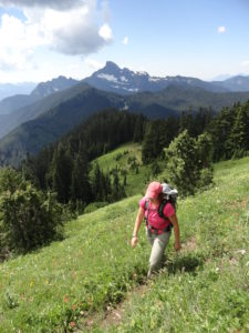
Quick Facts: Location: Glacier Peak Wilderness Land Agency: Mount Baker-Snoqualmie National Forest Roundtrip: 21.0 miles Elevation Gain: 3,700 feet Green Trails Map: Holden, WA- No. 113 Contact: Darrington Ranger District: Mount Baker Snoqualmie National Forest Notes: Northwest Forest Pass or Interagency Pass required Access: From Everett, head 85 miles east on US 2 to…