Posts Tagged ‘dog-friendly’
Heather Lake — placid lake in a rugged cirque
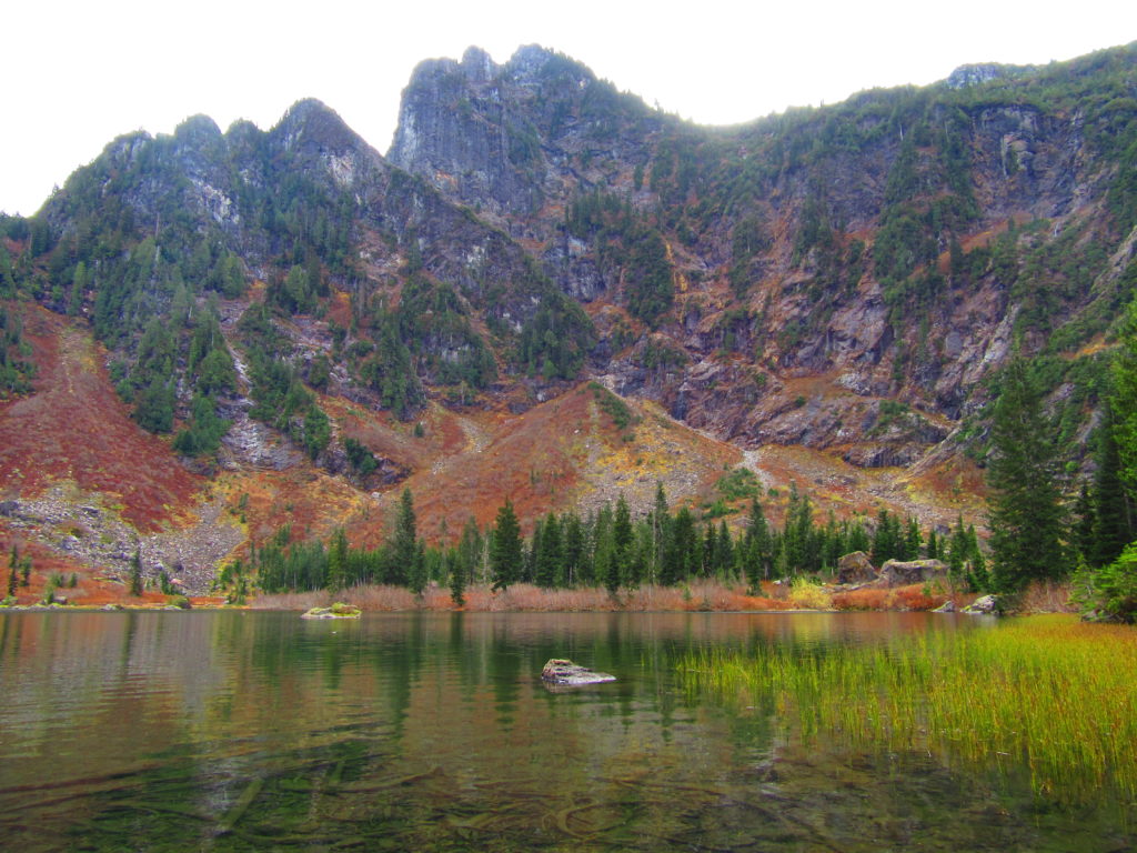
Quick Facts: Location: Mountain Loop Highway near Granite Falls Land Agency: Mount Baker-Snoqualmie National Forest Roundtrip: 5.0 miles Elevation gain: 1,100 feet Difficulty: moderate Green Trails Map: Mountain Loop Highway Special Series 111SX Contact: Darrington Ranger District: Mount Baker-Snoqualmie National Forest Access: From Granite Falls, follow the Mountain Loop Highway east. One mile beyond the Verlot Visitors…
Read MoreTwin Falls Lake–Hike to a secluded lake between two waterfalls
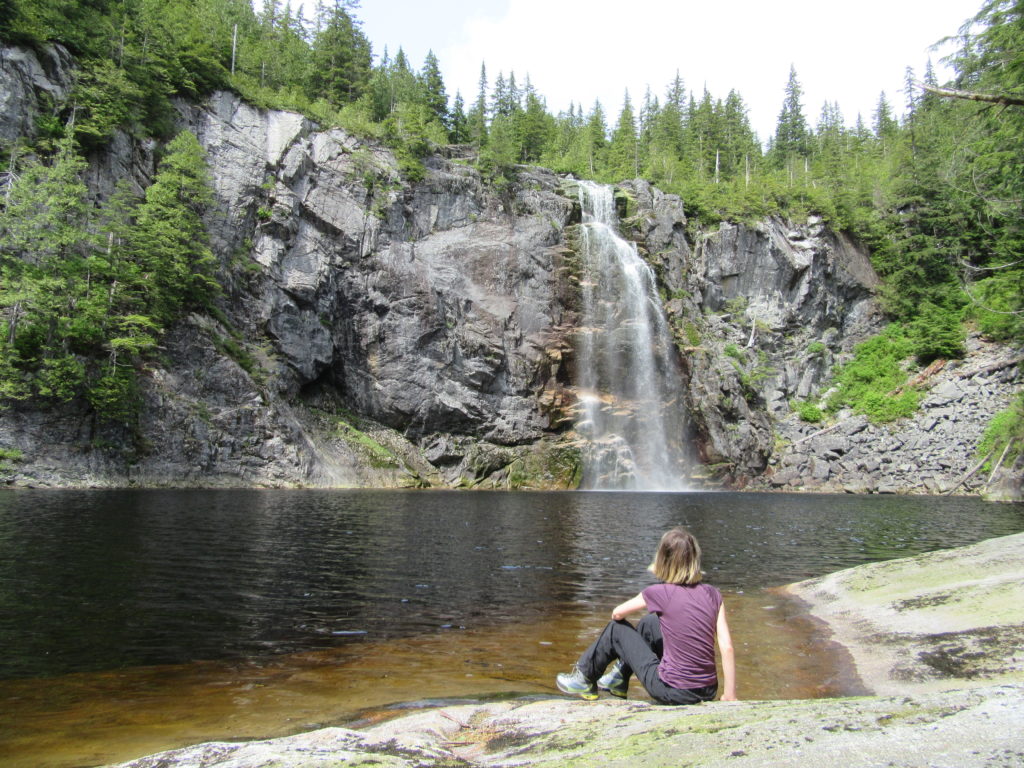
Quick Facts: Location: Mountain Loop Highway near Granite Falls Land Agency: Washington Department of Natural Resources Roundtrip: 8.8 miles Elevation gain: 1,200 feet Green Trails Map: Mountain Loop HIghway 111SX Contact: Northwest Region Ranger District WA DNR (360) 856-3500 Notes: Discover Pass required; trail beyond Ashland Lakes sees little maintenance, is extremely difficult and not…
Read MoreColumbia Mountain─Historic peak overflows with autumn colors
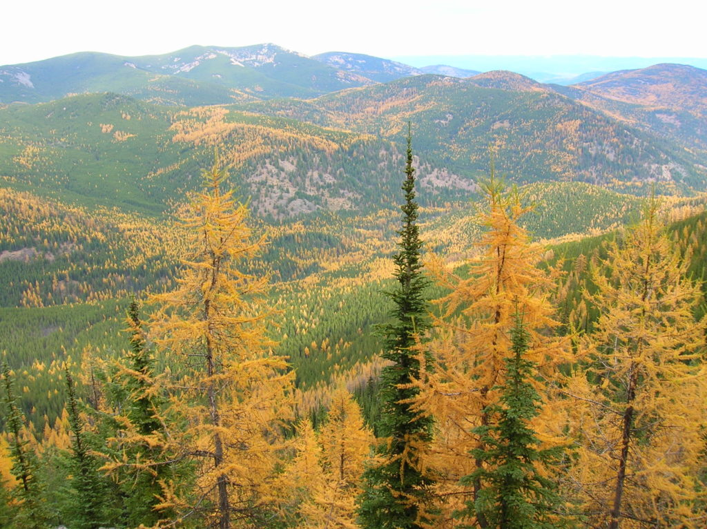
Quick Facts: Location: Kettle River Range, Sherman Pass Land Agency: Colville National Forest Roundtrip: 8.0 miles Elevation Gain: 1,360 feet Access: From Republic travel east 17 miles on SR 20 to trailhead at Sherman Pass. From Kettle Falls, follow SR 20 for 26 west miles to Sherman Pass. Contact: Colville National Forest, Republic Ranger District Good…
Read MoreWhite Chuck Cinder Cone — Coolest volcanic cone north of Lassen
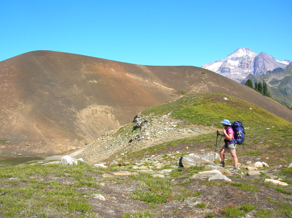
Quick Facts: Location: Glacier Peak Wilderness,Mountain Loop Highway near Darrington Land Agency: Mount Baker-Snoqualmie National Forest Roundtrip: 23.0 miles Elevation gain: 5,200 feet Green Trails Map: Mountain Loop Highway 111SX Contact: Darrington Ranger District: Mount Baker Snoqualmie National Forest (360) 436-1155 Notes: NW Forest Pass or Interagency Pass required Access: From Darrington, head south 16…
Read MoreHannegan Peak─Supreme views of snow and ice—and that’s the truth, Ruth!
Quick Facts Location: North Cascades Mount Baker Wilderness Land Agency: Mount Baker-Snoqualmie National Forest Roundtrip: 10.4 miles Elevation Gain: 3,100 feet Contact: Glacier Public Service Center (360) 599-2714 or Mount Baker Ranger District: Mount Baker Snoqualmie National Forest (360) 856-5700; www.fs.fed.us/r6/mbs Green Trails Map: Mt Baker Wilderness 13SX Special Note: Northwest Trail Pass or Interagency…
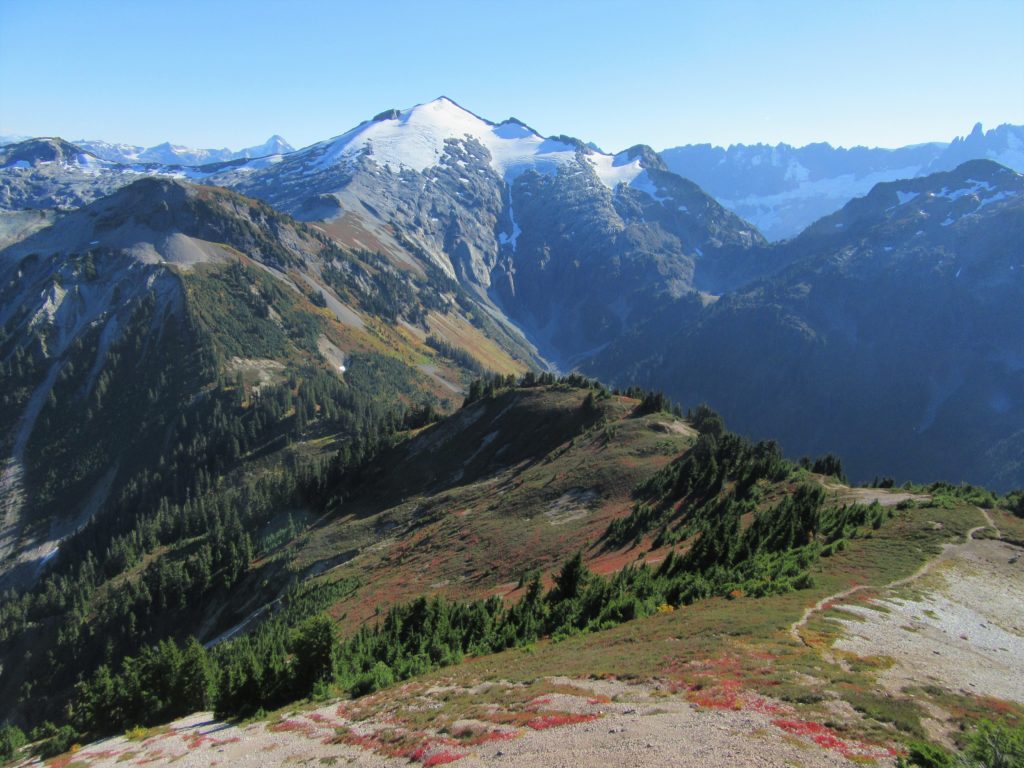
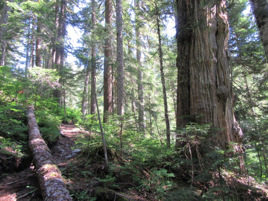
Read MorePerry Creek─Old growth, a cascade, sublime views to rugged peaks
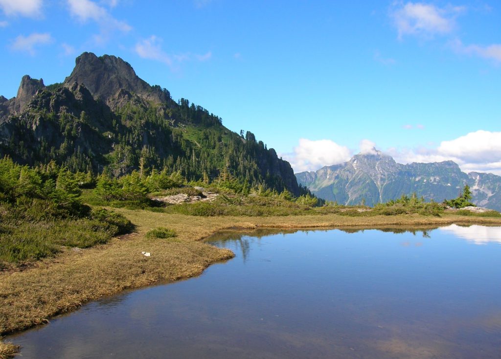
Quick Facts: Location: Mountain Loop Highway Land Agency: National Forest Service Roundtrip: 11.4 miles Elevation Gain: 3.500 feet Green Trails Map: Mountain Loop Highway 111SX Recommended Guidebook: Day Hiking North Cascades 2nd edition (Mountaineers Books) Contact: Darrington Ranger District: Mount Baker-Snoqualmie National Forest Access: From Granite Falls follow the Mountain Loop Highway east for 27 miles…
Read MoreBarclay Lake–placid lake at the base of awe-inspiring Baring Mountain
Quick Facts: Location: Skykomish River Valley Land Agency: National Forest Service Roundtrip: 4.4 miles Elevation Gain: 225 feet Green Trails Map: Alpine Lakes Stevens Pass Map 176S Contact: Skykomish Ranger District: Mount Baker -Snoqualmie National Forest Recommended Guidebook: Day Hiking Central Cascades 2nd edition (Mountaineers Books) Special Note: Northwest Forest Pass required. Access: From Everett, head 40 miles east on US 2 to…
Read MoreKelley Creek—Wild Sky gem and quiet portal to Johnson Ridge
Quick Facts: Location: Wild Sky Wilderness, Skykomish Valley Land Agency: Mount Baker-Snoqualmie National Forest Roundtrip: 8.8 miles Elevation Gain: 2,900 feet Green Trails Map: Green Trails Stevens Pass No 176, Benchmark Mtn No. 144 Recommended Guidebook: Day Hiking Central Cascades 2nd edition Contact: Skykomish Ranger District: Mount Baker Snoqualmie National Forest Notes: Northwest Forest Pass…
Read MoreWest Fork Methow River
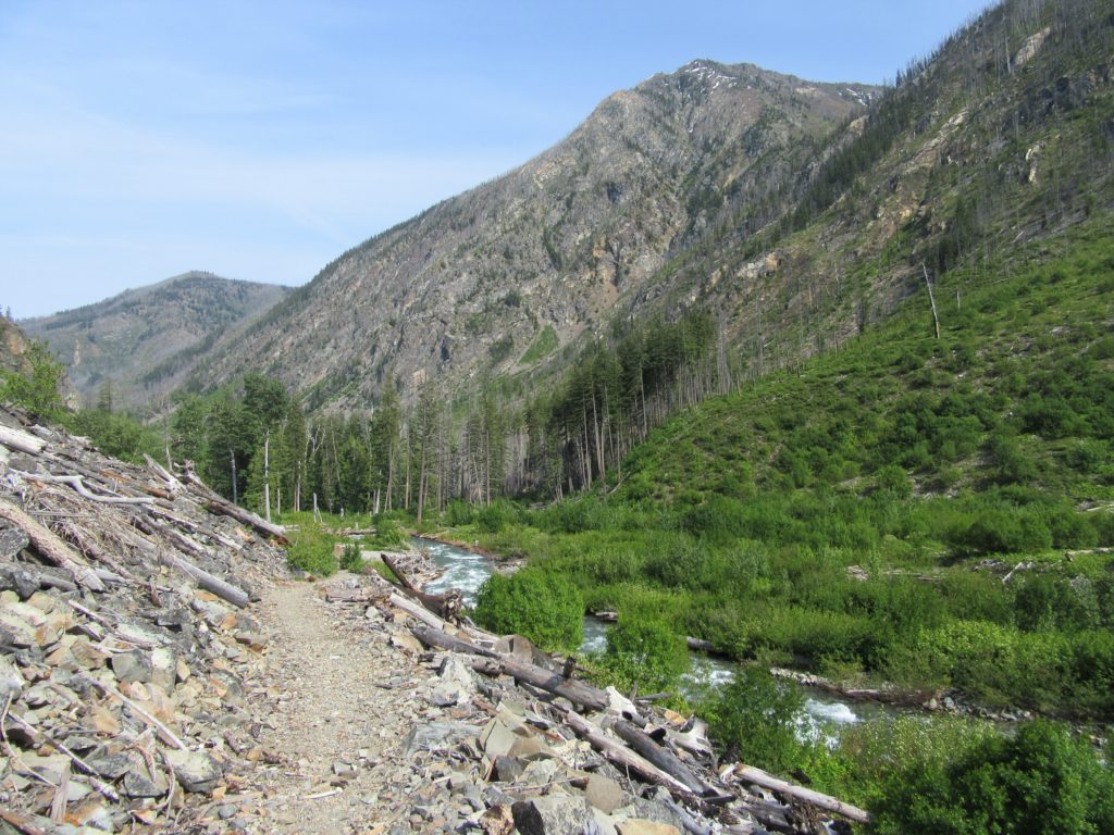
Follow a trail less traveled along a roaring waterway Quick Facts: Location: Methow Valley Round Trip: 5.0 miles Elevation Gain: 450 feet Contact: Okanogan-Wenatchee National Forest, Methow Valley Ranger District Detailed Information: Day Hiking North Cascades 2nd edition (Mountaineers Books) Notes: Northwest Forest Pass or Interagency Pass required; watch for rattlesnakes Green Trails Map: Methow…
Read MoreWallace Lake—Tranquil waters above thundering falls

Quick Facts: Location: Skykomish River Valley Land Agency: Washington State Parks Roundtrip: 8.2 miles Elevation Gain: 1,500 feet Green trails Map: Index, WA-No. 142 Access: From Everett follow US 2 for 28 miles east to Gold Bar. Just before Milepost 28 turn left onto 1st Street (signed for Wallace Falls State Park). Proceed for .4…
Read More