Posts Tagged ‘Trail Less Taken’
Hall Mountain via Noisy Creek –steep climb to stunning views and wildflowers
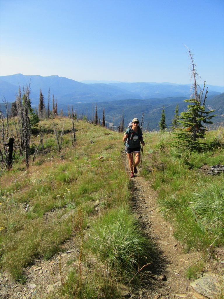
Quick Facts: Location: Selkirk Mountains Land Agency: Colville National Forest Round Trip: 14.0 miles Elevation Gain: 4,000 feet Contact: Sullivan Lake Ranger District, Colville National Forest Recommended Guidebook: Day Hiking Eastern Washington by Craig Romano and Rich Landers (Mountaineers Books) Notes: trail passes through a recent fire zone—be aware of hazards such as falling snags.…
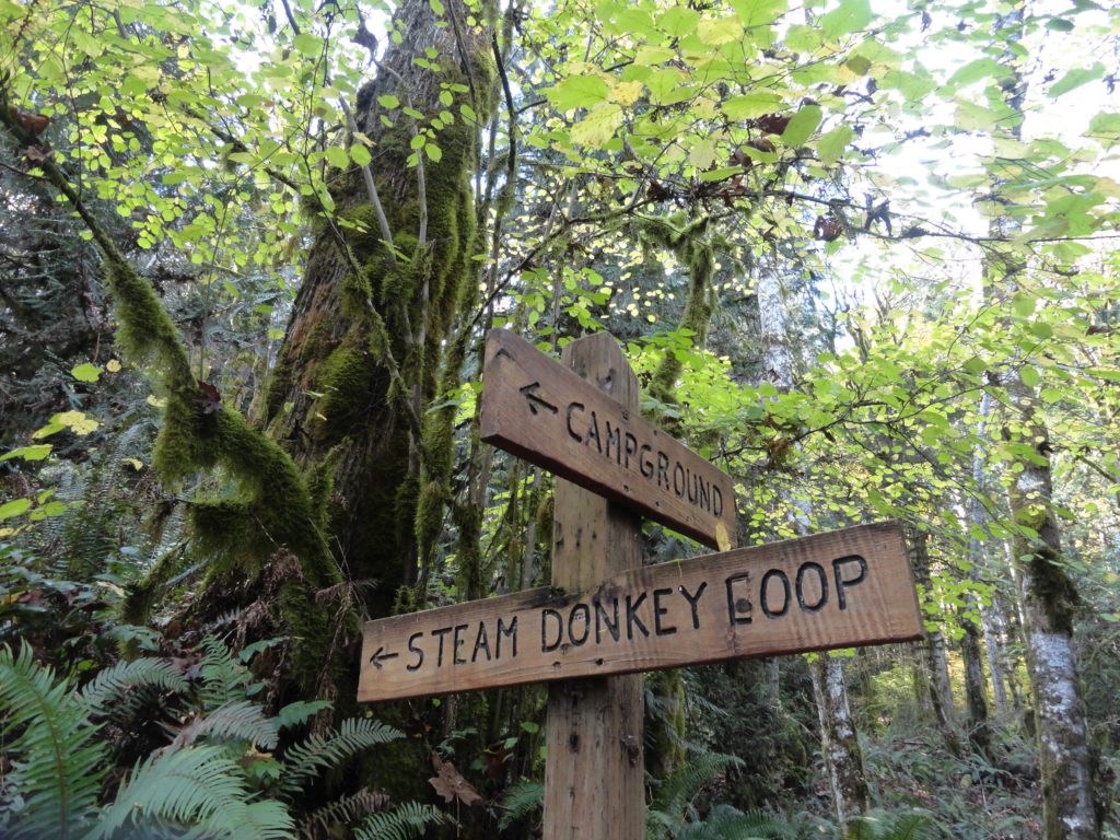
Read MoreDowney Creek — portal to famous Ptarmigan Traverse

Quick Facts: Location: Suiattle River Road Land Agency: Mount Baker-Snoqualmie National Forest Roundtrip: 13.6 miles Elevation gain: 1500 feet Green Trails Maps: Mountain Loop Highway Map 111SX Contact: Darrington Ranger District: Mount Baker-Snoqualmie National Forest Notes: Northwest Forest Pass or interagency pass required Access: From Darrington travel north on SR 530 for 7.5 miles turning…
Read MoreBunker Hill─No battling for solitude along this hike

Quick Facts Location: Wind River Valley Land Agency: Gifford Pinchot National Forest Roundtrip: 4.4 miles Elevation Gain: 1,250 feet Green trails Map: Green Trails Wind River No. 397 Recommended Guidebook: Day Hiking Columbia River Gorge (Craig Romano) Access: From Stevenson, head east on SR 14 for 3.0 miles turning left onto Wind River Road. Then…
Read MoreSquak Mountain East Ridge– discover the quiet Issaquah Alp
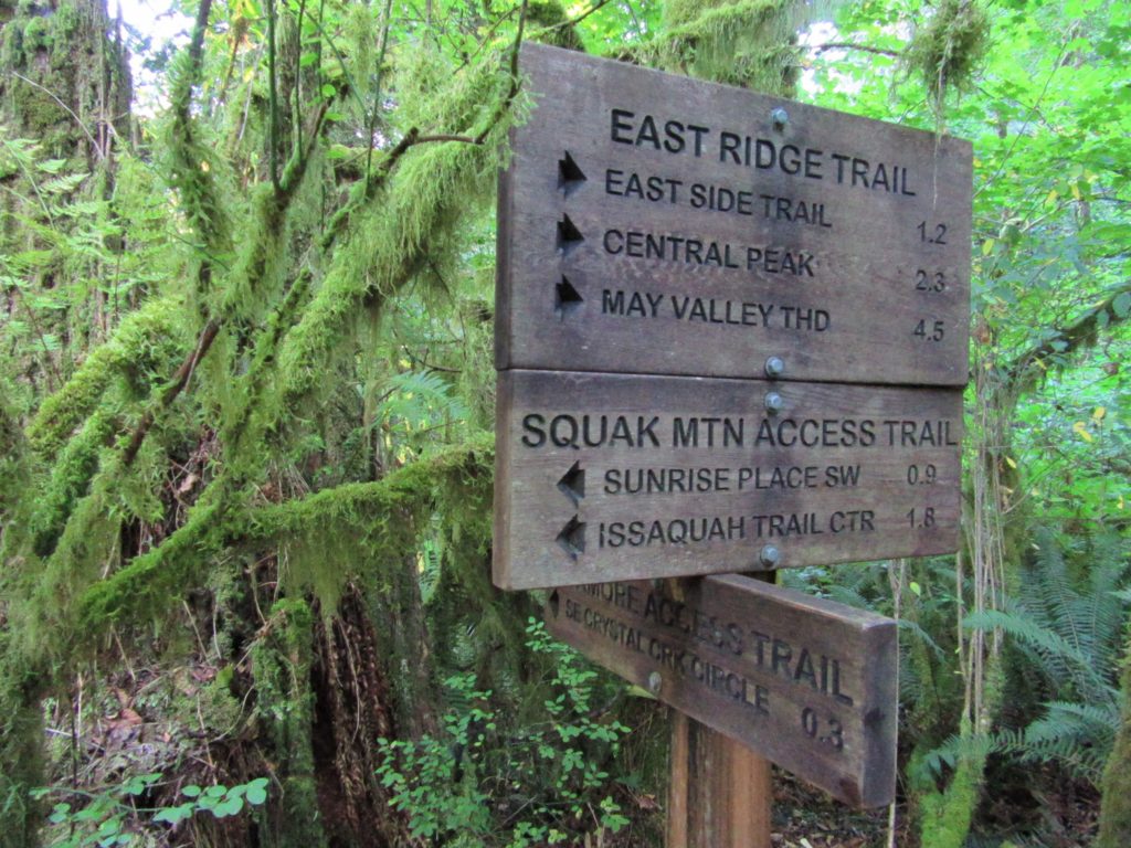
Quick Facts: Location: Issaquah Alps Land Agency: Washington State Parks Roundtrip: 8.0 miles Elevation Gain: 2000 feet Green Trails Map: Cougar Mountain/ Squak Mountain No. 203S Contact: Washington State Parks and Mountains to Sound Greenway Recommended Resource: Urban Trails Eastside Notes: Dogs must be leashed. Good to Know: snow-free winter hike, trail less taken, dog-friendly (on-leash), kid-friendly,…
Read MoreHeather Park─Steep climb to views that are “Tops”

Quick Facts: Location: Hurricane Ridge-Heart of the Hills Land Agency: Olympic National Park Roundtrip: 10 miles Elevation Gain: 3,940 feet Green Trails Map: Hurricane Ridge-Elwha North No. 134S Access: From Port Angeles, follow Race Street south 1.2 miles passing the Olympic National Park Visitors Center to the Hurricane Ridge Road (Heart O the Hills Parkway).…
Read MoreLookout Mountain — Look out to Mount Hood and beyond
Quick Facts: Location: Badger Creek Wilderness Land Agency: National Forest Service Roundtrip: 2.5 miles Elevation Gain: 550 feet Contact: Barlow Ranger District Mount Hood National Forest Notes: Northwest Trail Pass or interagency pass required Green Trails Map: Mount Hood Climbing / Timberline Trail no. 462SX Access: From Portland: Follow I-84 east to Exit 64 in Hood River. Then…
Read MoreNotch Pass–Hike through history over Quilcene Ridge
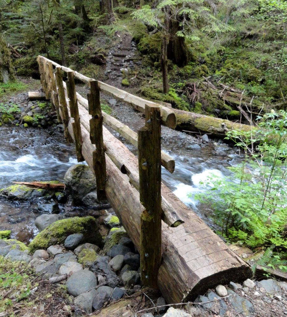
Location: Quilcene Valley, Northeast Olympic Peninsula Land Agency: National Forest Service Roundtrip: 8.4 miles Elevation gain: 2,800 feet Contact: Hood Canal Ranger District Olympic National Forest Guidebook: Day Hiking Olympic Peninsula (2nd Edition) Notes: Practice Leave No Trace Principles Access: From Quilcene drive US 101 south for 1.5 miles turning right onto Penny Creek Road. After 1.5…
Read MoreDosewallips State Park Loop — Hike back in time through a quiet forest
Quick Facts: Location: Olympic Peninsula Land Agency: Washington State Parks Roundtrip: 3.6 miles Elevation Gain: 550 feet Contact: Dosewallips State Park Green Trails Map: Olympic Mountains East 168SX Detailed Information: Day Hiking Olympic Peninsula (Mountaineers Books) Notes: Discover Pass required; Dog must be leashed Recommended Resource: Day Hiking Olympic Peninsula Access: From Quilcene drive US 101 south for 12…
Read MoreCrab Creek: Columbia National Wildlife Refuge–Come join the sandhill cranes for their festival!
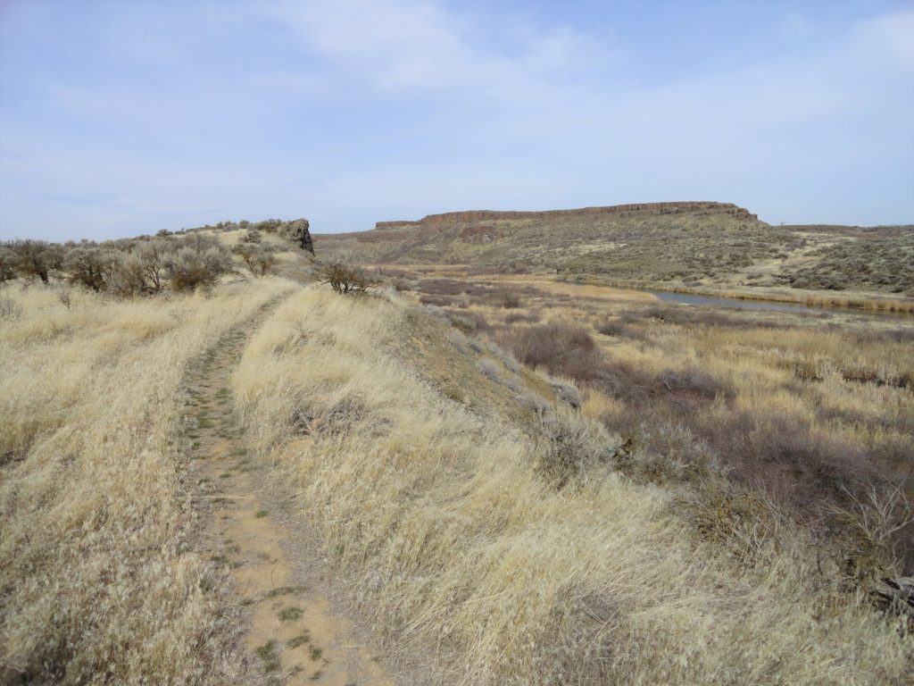
Quick Facts: Location: Columbia National Wildlife Refuge near Othello Land Agency: US Fish and Wildlife Service Roundtrip: 2.6 miles Elevation gain: 40 feet Contact: Columbia National Wildlife Refuge Notes: Dogs permitted on leash. Access: From Ellensburg take I-90 east to Exit 137. Then follow SR 26 for 25 miles east turning left onto SR 262.…
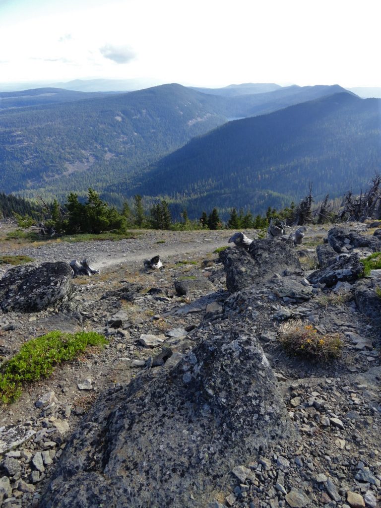
Read MoreBedal Basin–Lonesome and beautiful basin beneath awe-inspiring Sloan Peak
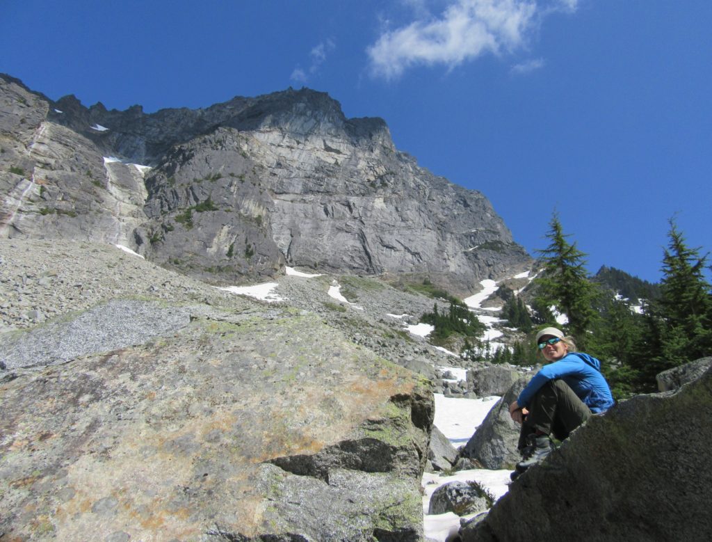
Location: Mountain Loop Highway Land Agency: Mount Baker-Snoqualmie National Forest Roundtrip: 5.2 miles High Point: 4,650 feet Elevation gain: 1,900 feet Difficulty: challenging Green Trails Maps: Mountain Loop Highway No. 111SX Contact: Darrington Ranger District: Mount Baker Snoqualmie National Forest Access: Take Exit 208 off of I-5 following SR 530 east for 32 miles to Darrington.…
Read More