River View Quarry Trail─Trail along the Snohomish River is a cut above

Quick Facts:
Location: Lord Hill Regional Park
Land Agency: Snohomish County Parks
Roundtrip: 2.0 miles
Elevation Gain: 275 feet
Access: From Monroe, exit SR 522 onto Main Street heading west and immediately coming to a roundabout. Bear right onto Tester Road and proceed 3.0 miles to a T-intersection just after passing under SR 522. Turn left and proceed to South Parking Area. If gated, park at Lower South Parking Area.
Notes: Dogs must be leashed.
Contact: Snohomish County Parks
Good to know: dog-friendly, kid-friendly, snow-free winter hiking
Snohomish County’s largest county park, nearly 1500-acre Lord Hill Regional Park acts as a giant green wedge between bustling Monroe and the city of Snohomish. A land of heavily forested slopes, lush ravines, basaltic outcroppings, wetland ponds, and a wild undeveloped stretch of the Snohomish River; Lord Hill is a haven not only for wildlife, but for 100,000s of folks living nearby. But despite its close proximity to the state’s main urban corridor, Lord Hill rarely gets crowded. And with more than 30 miles of trails (many unofficial and in the process of being closed or rehabilitated) and several more miles of old woods roads, this property provides countless hiking options.

Most visitors begin their park outings from the northern trailhead, reached off of 127th SE Ave from Snohomish. The River View Quarry Trail is accessed from the park’s southern quieter trailhead. This area of the park once housed a beautiful old barn and a large quarry operation. The barn (suspiciously) went up in flames a few years ago and much of the quarry has been reclaimed. But, a handful of relics from the area’s human history can still be found in this area of the park.
From the upper parking lot head head to the Upper Loop. You’ll be returning on the dirt road which you entered the park. Head. It’s possible to explore the river shore across meadows and an old tree farm on a lower trail; but the area is prone to flooding, so best to check it out during the drier months.
Your route passes by some mature cedars and firs eventually coming to the old quarry. Pass beneath cut ledges now quickly being reclaimed by greenery before coming to an old rusting steam shovel and small shack. The way then turns northward climbing steeply up a lush ravine. There are good views south over the river and rolling countryside. Soon come to a small wetland created by an old earthen dam since breached. Bear right and come to a junction.
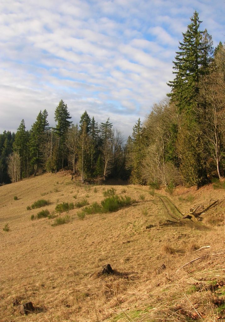
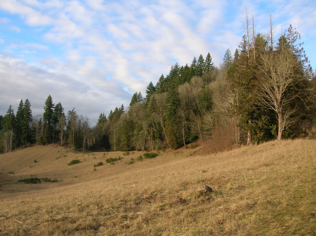
You can head right for a shorter return, or bear left the preferred route climbing along the edge of a grassy depression—a reclaimed quarry pit. Reach a junction (the park’s unmarked trails can make navigation frustrating or fun) at another wetland, this one quite large and usually hopping with animal activity. The trail left climbs to the River Trail. You want to go right skirting the open depression looking for deer and enjoying good views to the south.
Eventually you’ll reach the Pipeline Trail, which bisects the park following a gas line. Head right passing the junction with the shorter option; then continue left steeply dropping back to your starting point. Feel free to extend your journey on the numerous radiating side trails you passed. A map can be found at the park’s website.

For information on lodging and other attractions near Lord Hill, visit www.snohomish.org.
Coming Soon!
Your guide to hiking and running trails throughout Western Snohomish County, Camano Island, and Whidbey Island
