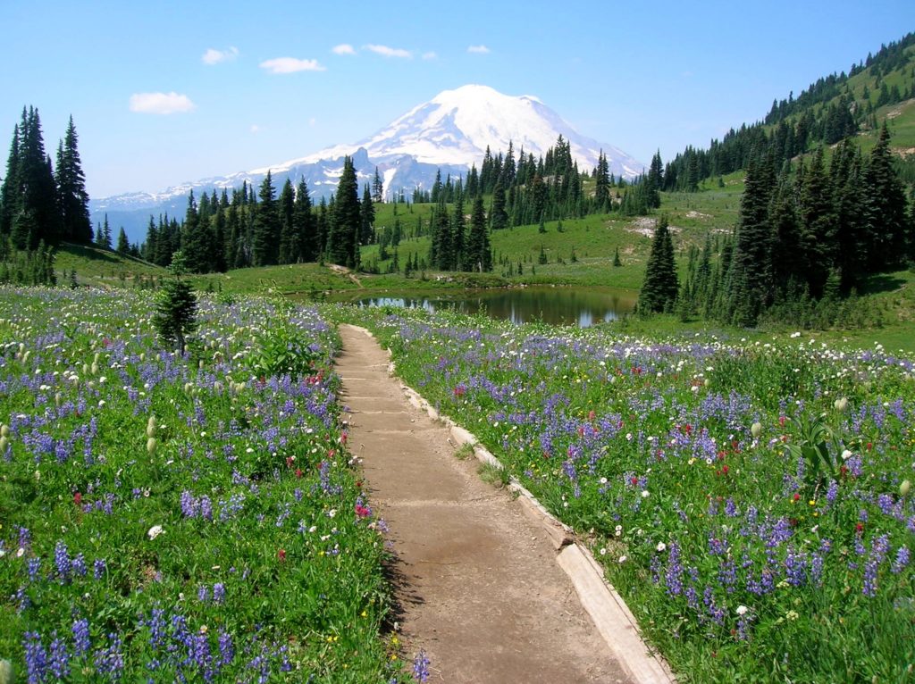
Wildflowers
Lake Ingalls
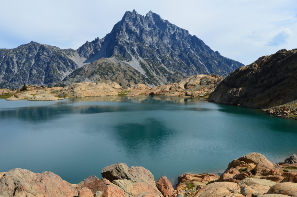
Capture breathtaking reflective views of Mount Stuart Quick Facts: Location: Alpine Lake Wilderness, Teanaway Country Round Trip: 9.2 miles Elevation Gain: 2600 feet Contact: Okanogan-Wenatchee National Forest, Cle Elum Ranger District, https://www.fs.usda.gov/okawen/Detailed Information: 100 Classic Hikes Washington (Mountaineers Books) Notes: Northwest Forest Pass required; dogs prohibited; wilderness rules apply; no camping at lake. Green Trails…
Read MoreLittle Giant Pass
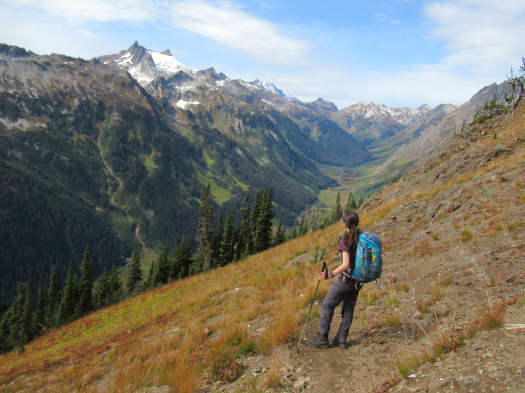
Shortest (but not easy) portal to the fabled Napeequa Valley Quick Facts: Location: Chiwawa River Valley Round Trip: 10.4 miles Elevation Gain: 4100 feet Contact: Okanogan-Wenatchee National Forest, Wenatchee River Ranger District, https://www.fs.usda.gov/okawen/Detailed Information: Day Hiking Central Cascades 2nd edition (Mountaineers Books) Notes: Wilderness Rules in effect; Chiwawa River must be forded—dangerous in high water…
Read MoreSunrise Ridge─What a setting!
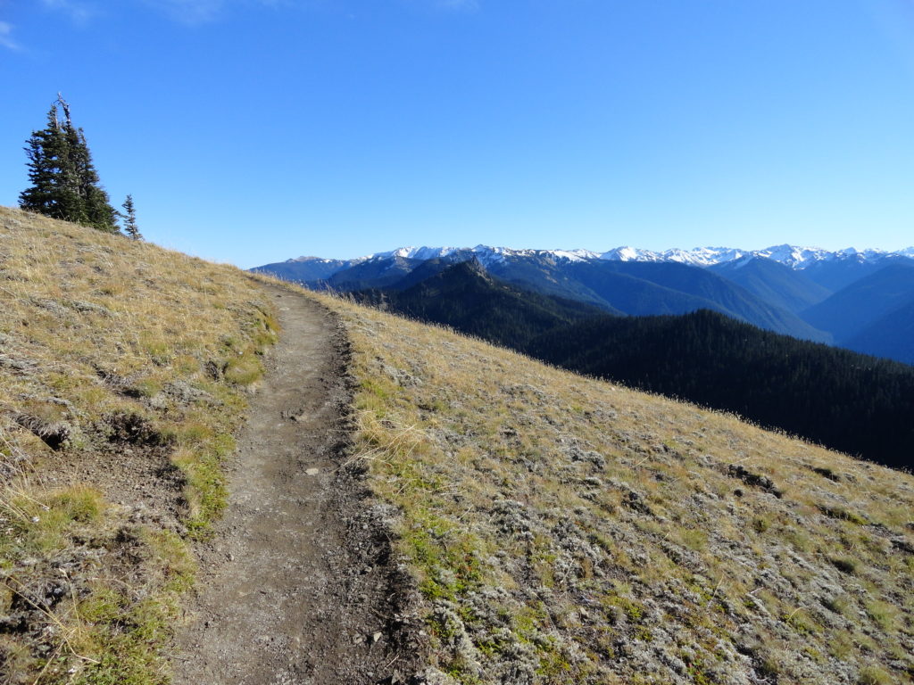
Quick Facts: Location: Olympic National Park – Hurricane Ridge Road Land Agency: National Park Service Roundtrip: 5.2 miles Elevation Gain: 1,100 feet Green Trails Map: Elwha North-Hurricane Ridge No. 134S Contact: Olympic National Park Access: From Port Angeles, follow Race Street south to Mount Angeles Ave to the Heart O’ the Hills Parkway (Hurricane Ridge…
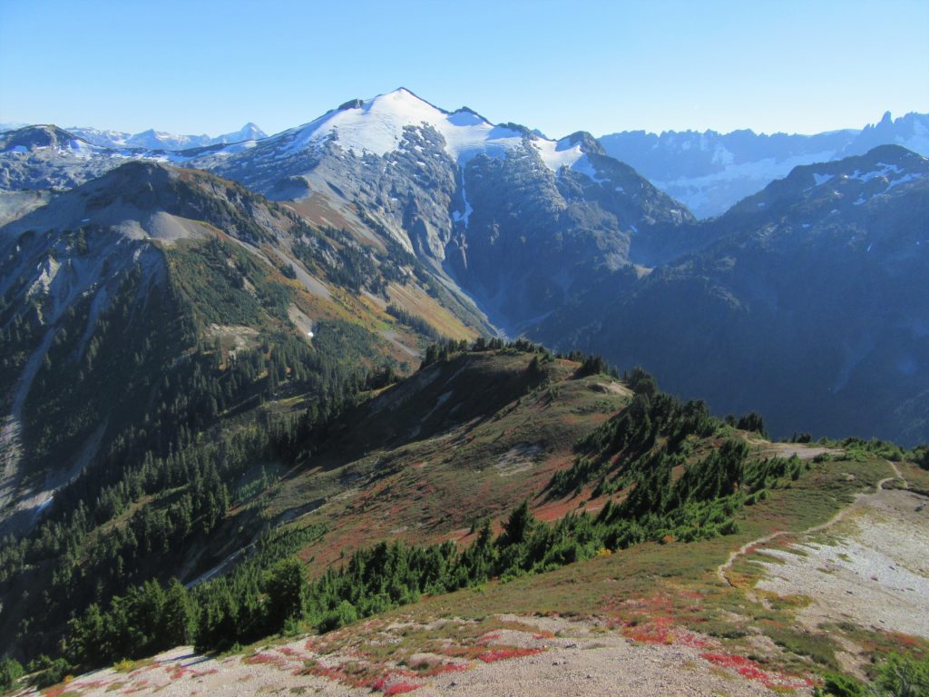
Read MoreWhite Chuck Cinder Cone — Coolest volcanic cone north of Lassen
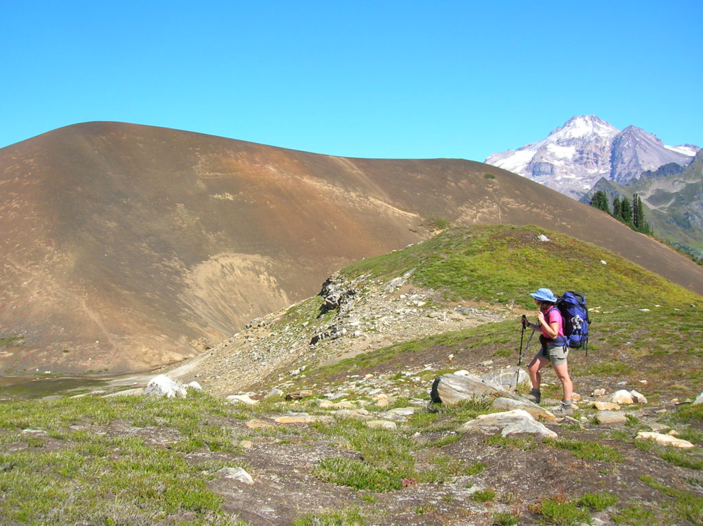
Quick Facts: Location: Glacier Peak Wilderness,Mountain Loop Highway near Darrington Land Agency: Mount Baker-Snoqualmie National Forest Roundtrip: 23.0 miles Elevation gain: 5,200 feet Green Trails Map: Mountain Loop Highway 111SX Contact: Darrington Ranger District: Mount Baker Snoqualmie National Forest (360) 436-1155 Notes: NW Forest Pass or Interagency Pass required Access: From Darrington, head south 16…
Read MoreNaches Peak–Big Scenic Payoff for little effort
Quick Facts: Location: Naches Pass, Mount Rainier National Park Land Agency: United States Park Service Roundtrip: 4.0 miles Elevation gain: 600 feet Green Trails Maps: Mount Rainier Wonderland Map 269SX Contact: Mount Rainier National Park Notes: Dogs prohibited Access: From Enumclaw follow SR 410 east to Tipsoo Lake parking area just before Chinook Pass. Good…
Read MoreHannegan Peak─Supreme views of snow and ice—and that’s the truth, Ruth!
Quick Facts Location: North Cascades Mount Baker Wilderness Land Agency: Mount Baker-Snoqualmie National Forest Roundtrip: 10.4 miles Elevation Gain: 3,100 feet Contact: Glacier Public Service Center (360) 599-2714 or Mount Baker Ranger District: Mount Baker Snoqualmie National Forest (360) 856-5700; www.fs.fed.us/r6/mbs Green Trails Map: Mt Baker Wilderness 13SX Special Note: Northwest Trail Pass or Interagency…
Read MoreCascade Pass─Easy Portal into the North Cascades National Park
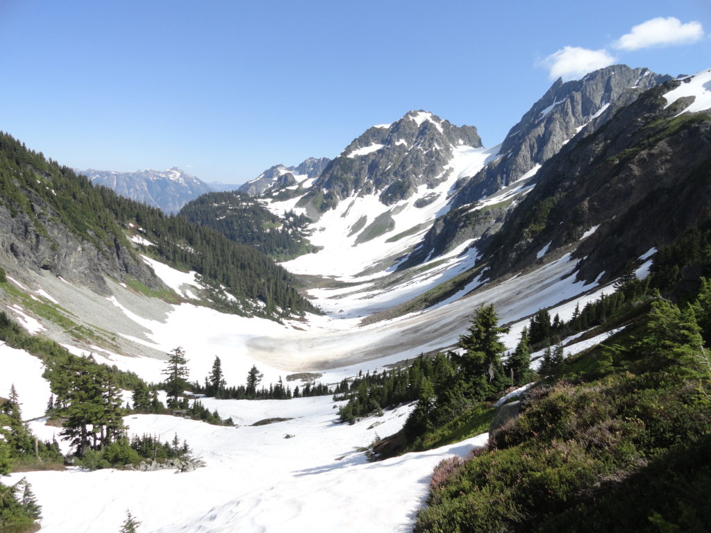
Quick Facts: Location: North Cascades Land Agency: North Cascades National Park Roundtrip: 7.4 miles Elevation Gain: 1,800 feet Green Trails Map: Ross Lake North Cascades No. 12SX Contact: Summer – North Cascades National Park Visitors Center Newhalem: (206) 386-4495 ext. 11 or NCNP Visitors Center Sedro-Woolley (360) 854-7200; www.nps.gov/noca Notes: Dogs prohibited. No trailhead camping.…
Read MoreWest Fork Methow River
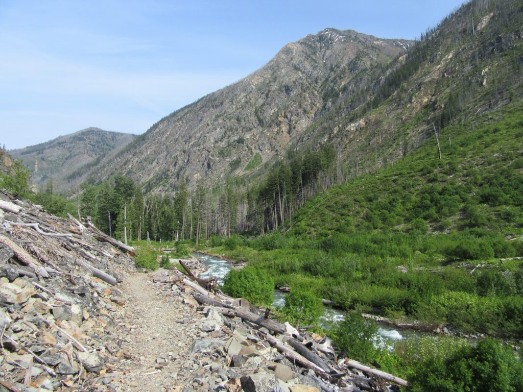
Follow a trail less traveled along a roaring waterway Quick Facts: Location: Methow Valley Round Trip: 5.0 miles Elevation Gain: 450 feet Contact: Okanogan-Wenatchee National Forest, Methow Valley Ranger District Detailed Information: Day Hiking North Cascades 2nd edition (Mountaineers Books) Notes: Northwest Forest Pass or Interagency Pass required; watch for rattlesnakes Green Trails Map: Methow…
Read MoreWhite Bluffs Hanford Reach
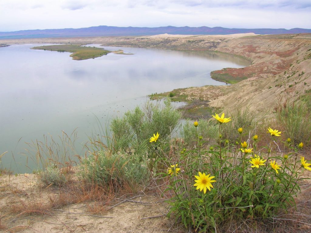
Wilderness and stark beauty along the Columbia River Quick Facts: Location: Hanford Reach National Monument Round Trip: 7.0 miles Elevation Gain: 500 feet Contact: Hanford Reach National Monument, Mid-Columbia River National Wildlife Recreation Complex; Detailed Information: Day Hiking Eastern Washington (Mountaineers Books) Notes: watch for rattlesnakes; pack lots of water Access: From Ellensburg, follow I-90…
Read MoreSage Hills Trail
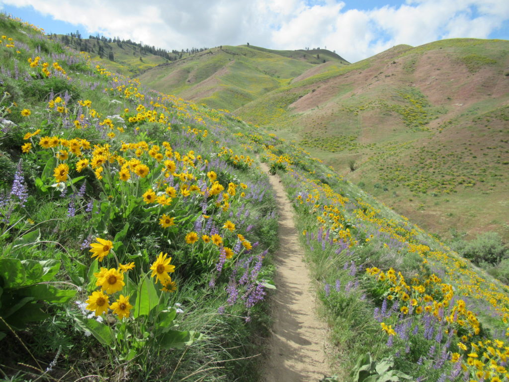
Bloomin’ good hike in Wenatchee Foothills Quick Facts: Location: Wenatchee Foothills Round Trip: 9.6 miles Elevation Gain: 1125 feet Contact: Chelan-Douglas Land Trust Detailed Information: Day Hiking Central Cascades 2nd edition (Mountaineers Books) Notes: Trail is closed from Dec 1 until March 31 to protect wintering mule deer. Dogs must be leashed; trail open to…
Read More