Lizard and Lily Lakes
Peaceful wandering near the Oyster Dome
Quick Facts:

Location: Blanchard State Forest
Distance: 7.5 miles roundtrip
Elevation Gain: 1,500 feet
Contact: Washington Department of Natural Resources
Map: Square One Maps Chuckanut Recreation Area
Notes: Discover Pass required to park at trailheads
Trailhead directions: From I-5 Exit 240 in Alger head north on Lake Samish Road for 0.5 mile. Then turn left onto Barrel Springs Road and proceed for 0.7 mile. Turn right onto DNR Road BL-ML and continue for 1.7 miles to a junction. Bear right and reach Upper Trailhead parking in 0.2 mile.
Good to Know: Kid-friendly, dog-friendly (leashed), snow-free winter hiking, backcountry campsites, Practice Leave No Trace Principles
Hike to these two little placid backcountry lakes in the Chuckanut Mountains and enjoy a much less crowded experience than at nearby Oyster Dome. One of my favorite ways to reach the lakes is a loop from the Upper Trailhead. Locate the Lily Lizard Trail and slowly ascend paralleling a forest road and crossing a cascading creek on a good bridge. Parts of the trail follow an old logging railroad—look for rails. Soon the way makes a sweeping switchback and reaches a junction with the Lily Max Connecter. You’ll be returning left—so continue right.
Soon cross the cascading creek once more—this time without a bridge. The way then climbs more steadily going up and over and around a few bumps on the ridge before coming to a junction with the Lily Lake Trail. That trail takes off left to directly reach Lily Lake. For the loop continue right now on the Lizard Lake Trail which is part of the Pacific Northwest Trail. Utilizing an old logging railroad bed the way traverses steep slopes adorned with big stumps a century old and shrouded in mature second growth.
Come to a junction with the Alternate Incline Trail and continue left coming to a junction at Lizard Lake 3.4 miles from your start. Here a short spur leads right to a camping area on the shallow lake’s southeast shore. Take a break here and enjoy the serenity. Then return to the junction. The British Army Trail heads straight. For the loop head left on the Lizard Lily Connector Trail. Start climbing passing a massive glacial erratic and a few big trees as well. At a saddle reach a junction. The trail right is a well-worth-it side trip to ledges (use caution) on 2200-foot North Butte. Views are excellent of Vendovi, Sinclair, Orcas, Lummi, Clark, and Barnes islands—as well as BC’s Saturna and Vancouver islands.
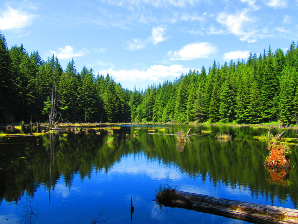
From the junction the trail slowly descends soon to Lily Lake with its backcountry campsites. This little lake is a good spot to watch for waterfowl and beavers. The trail continues south along a stream dammed by beavers and reaches a junction at 4.0 miles. Right goes to the popular Oyster Dome. You want to go left immediately coming to a junction.
Then head right on Max’s Shortcut Trail (also part of the PNT) traversing a thickly forested ridge and slowly descending to a small creek in a dark hollow. The way then steadily loses elevation reaching a junction with the Larry Reed and Lily Max trails. Right goes to the Samish Overlook. You want to go left contouring along south facing slopes returning to a familiar junction. Head right here and return to the Upper Trailhead for a great 7.5 mile hike or trail run.
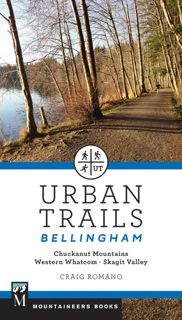
For more details on this hike and others in the Chuckanut Mountains and in western Whatcom and Skagit Counties, pick up a copy of my Urban Trails Bellingham book (Mountaineers Books).